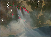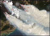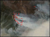

A river of smoke more than 250 kilometers wide flowed northwest across the Victoria-New South Wales border on December 12, 2006, when the Moderate Resolution Imaging Spectroradiometer (MODIS) on NASA’s Terra satellite passed over head and captured this image. Bushfires had been burning in the Great Dividing Range Mountains for nearly two weeks. Places where MODIS detected actively burning fire on this day are outlined in red. It’s likely that additional fires that couldn’t be detected through the very thick smoke were burning in the area east of Lake Eildon. According to news reports, army bulldozers were arriving in the area to construct fire breaks in the watershed area north of Lake Thomson, which provides a significant portion of Melbourne’s water supply.
The large image provided above has a spatial resolution (level of detail) of 250 meters per pixel. The MODIS Rapid Response Team provides twice-daily images of the region in additional resolutions.
A 250-meter-resolution KMZ file of the Victoria fires is available for use with Google Earth.
NASA image courtesy the MODIS Rapid Response Team, Goddard Space Flight Center
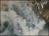
In Victoria, bushfires that began in early December 2006 were still burning in 2007. This image shows the burning area on January 16, 2007.


