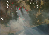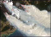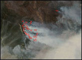

Australian firefighters have been battling huge fires in remote forests and parks in the Barry Mountains (part of the Great Dividing Range) of Victoria since early December 2006. Toward the middle of the month, fires began threatening small communities, and several houses were destroyed. This pair of images from the Moderate Resolution Imaging Spectroradiometer (MODIS) on NASA’s Terra satellite was captured on December 14, 2006. The top image is natural color, similar to a digital photo, while the bottom image uses both visible and infrared light to thin the smoke and highlight burning areas. Red outlines trace the boundaries of areas where MODIS detected actively burning fires.
Inside the fire outlines in the false-color image, bright pink glows often indicate open flame. These glows appear in places not surrounded by red fire outlines, which suggests the smoke was too thick for the software that interprets the MODIS data to confidently label the area as fire. Fires are spread over a wide area. Mount Beauty, Dargo, and several small communities along the Macalister River are among those most threatened by the fires.
The large image provided above has a spatial resolution (level of detail) of 250 meters per pixel. The MODIS Rapid Response Team provides twice-daily images of the region in additional resolutions.
NASA image courtesy the MODIS Rapid Response Team, Goddard Space Flight Center
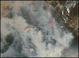
In Victoria, bushfires that began in early December 2006 were still burning in 2007. This image shows the burning area on January 16, 2007.


