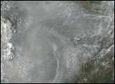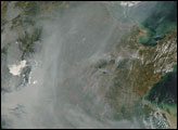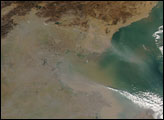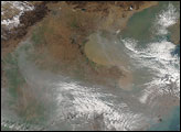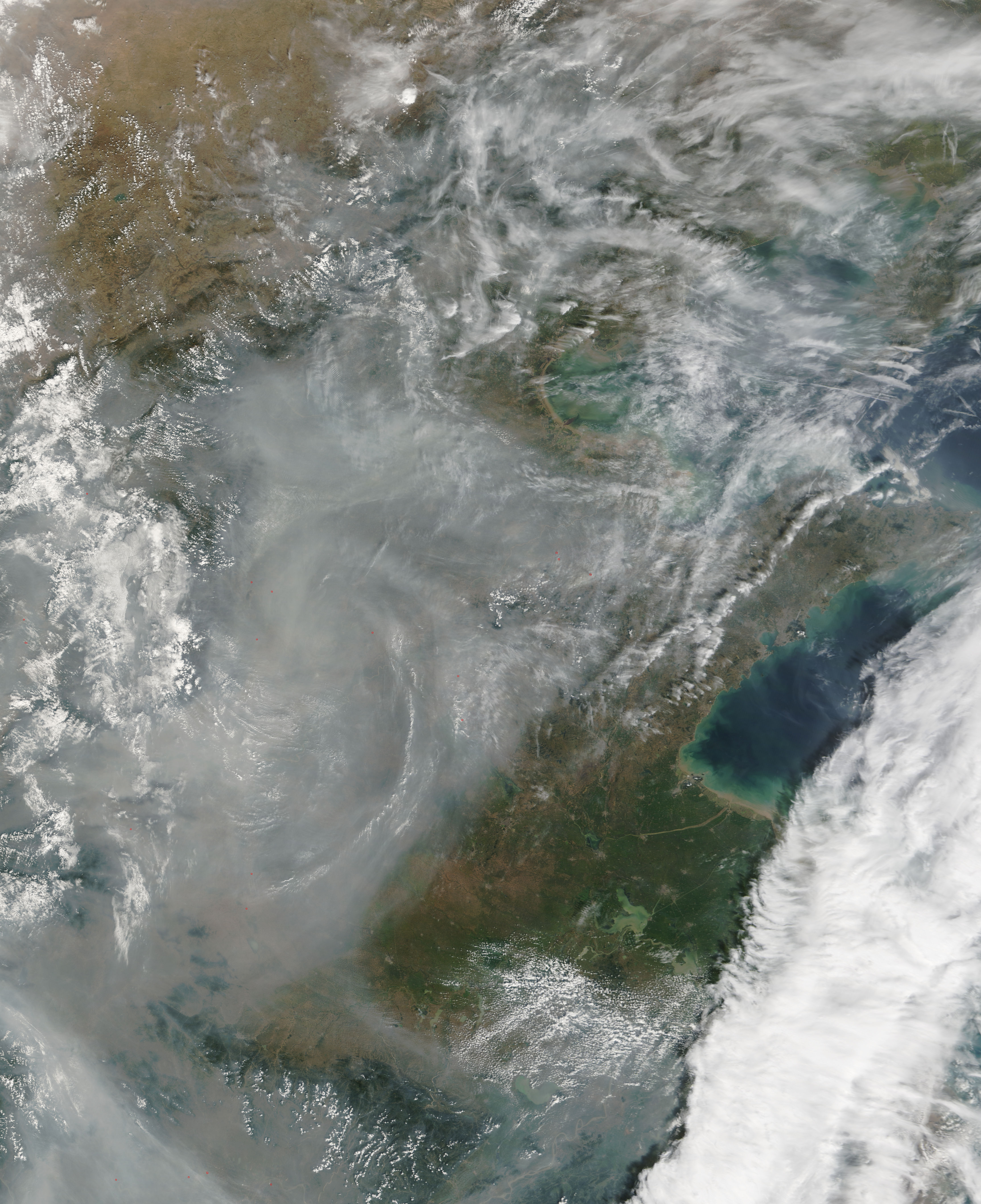
More haze filled the skies of eastern China on September 20, 2006. The Moderate Resolution Imaging Spectroradiometer (MODIS) on NASA’s Terra satellite took this picture the same day. Unlike the smog in the region on September 17, however, this haze did not hug the coastal plain east of the Taihang Shan range. Instead, it blended with clouds over the mountains while leaving the coast near the Yellow Sea relatively clear.
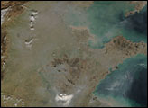
In this image, the haze appears as a pale, dingy gray mass with ill-defined borders, in contrast to the bright white clouds. Weather patterns, including the presence of Typhoon Shanshan in the region, may have caused this haze to accumulate in eastern China. Because China’s Beijing region is one of the world’s most densely populated and is urbanizing rapidly, it produces urban and industrial smog, along with smoke from agricultural fires. Where the skies are clear, cities appear as tan dots surrounded by a green landscape.
NASA image courtesy the MODIS Rapid Response Team at NASA GSFC. The Rapid Response Team provides daily images of this region.
alert message