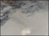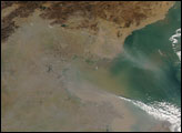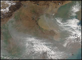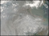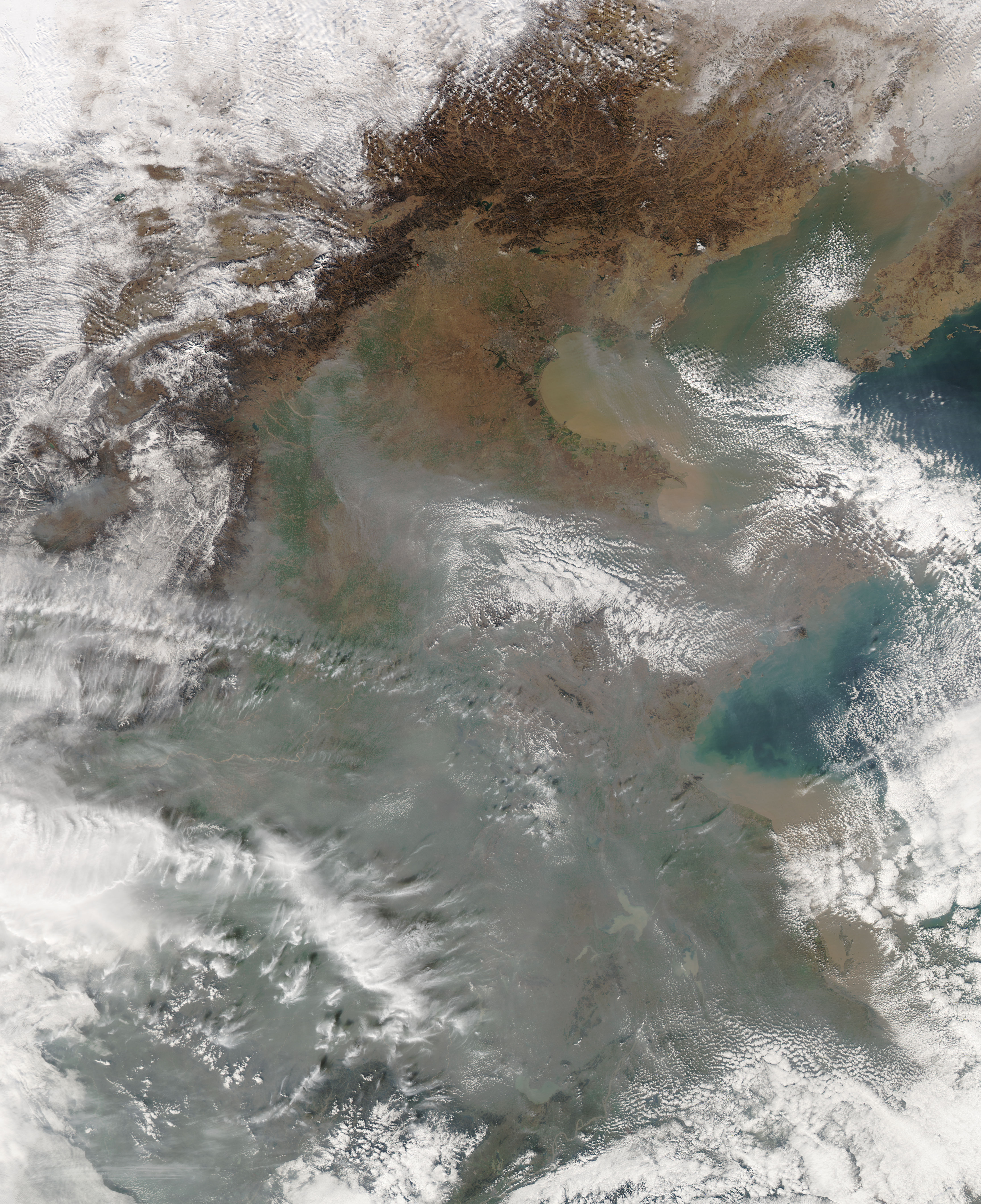
Haze clouded the skies over eastern China on November 28, 2006. The Moderate Resolution Imaging Spectroradiometer (MODIS) flying onboard NASA’s Aqua satellite took this picture the same day. In this image, dingy gray haze obscures the view of the land surface while thick brown sediment clouds the Yellow Sea and Bo Hai near the shore. As in an earlier image of this region, the haze clings primarily to low-lying coastal areas, while leaving the skies relatively clear over the Taihang Shan Mountains in the west. Although the skies over the mountains are free of smog, they are filled with clouds. Opaque white clouds also mingle with the haze over the lower elevations and the water.
One week before MODIS acquired this image, air pollution registered in the “hazardous” category of the China Environmental Monitoring Center’s index, according to the Reuters news service. Likewise, Voice of America reported that in the first half of 2006, China’s pollution increased, including a 2.4 percent increase in industrial wastewater, and a 4 percent increase in sulfur dioxide, which results from the burning of fossil fuels.
NASA image courtesy the MODIS Rapid Response Team at NASA GSFC. The Rapid Response Team provides daily images of this region.
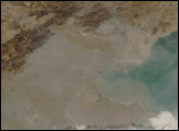
alert message