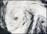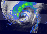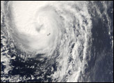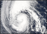

Tropical Storm Florence is the sixth named storm of the 2006 Atlantic hurricane season. Florence started as a tropical depression (area of low air pressure) north and east of the South American coast on September 3, and it grew in power and size very gradually. As of September 8, 2006, it remained a large, but unorganized tropical storm system, with a predicted track that was not likely to bring it over any major population areas.
This photo-like image was acquired by the Moderate Resolution Imaging Spectroradiometer (MODIS) on the Aqua satellite on September 7, 2006, at 3:00 p.m. local time (17:00 UTC). Tropical Storm Florence at the time of this image was a large arc of clouds, loosely shaped in an asymmetric, circular pattern. Florence had sustained winds of around 75 kilometers per hour (45 miles per hour) at the time this satellite image was acquired, according to the University of Hawaii’s Tropical Storm Information Center.
NASA image created by Jesse Allen, Earth Observatory, using data obtained from the MODIS Rapid Response team.
The sixth storm of the 2006 Atlantic hurricane season, Hurricane Florence formed on September 3, 2006. Florence weakened as it moved north, becoming an extra-tropical storm by September 15.


