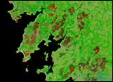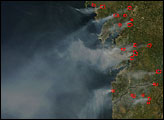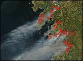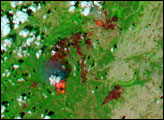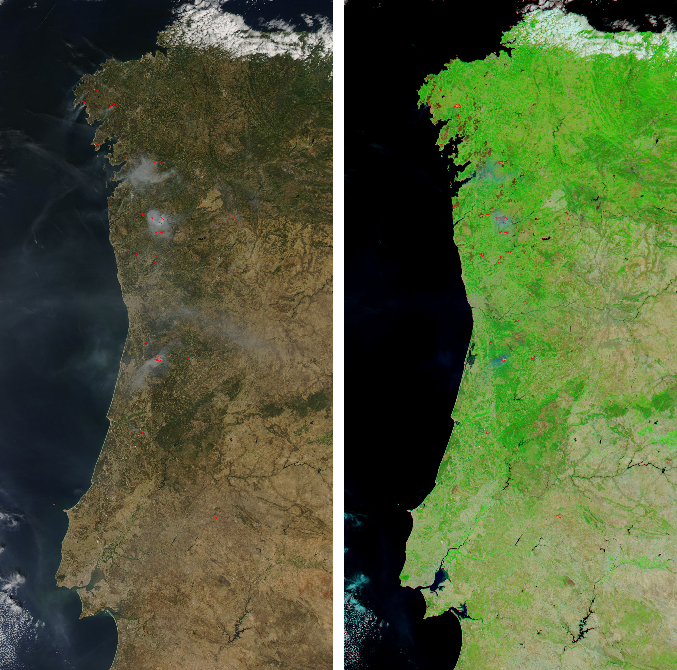
In northwestern Spain and Portugal, numerous fires raced across dry forestland at the beginning of the third week of August 2006. When the Moderate Resolution Imaging Spectroradiometer (MODIS) on NASA’s Aqua satellite passed over head on August 13, the sensor detected more than a dozen active fires (outlined in red) on the Atlantic Coast of the Iberian Peninsula. The photo-like image on the left is paired with a shortwave- and near-infrared-enhanced image on the right. In the false-color image, burned areas stand out as deep red marks compared to the bright green of unburned vegetation. Areas of sparse vegetation, such as cities or arid locations, appear in shades of pinkish-tan to gray. Within some of the fire perimeter outlines, a bright pink glow is visible. This bright glow often indicates open flame at the time of the satellite overpass.
The high-resolution image provided above has a spatial resolution of 250 meters per pixel. The MODIS Rapid Response System provides twice-daily images of the entire Iberian Peninsula in additional resolutions and formats.
NASA image courtesy the MODIS Rapid Response Team, Goddard Space Flight Center