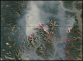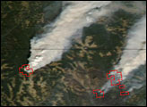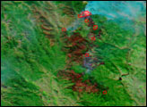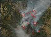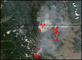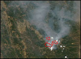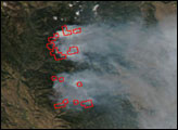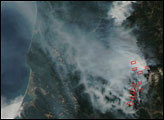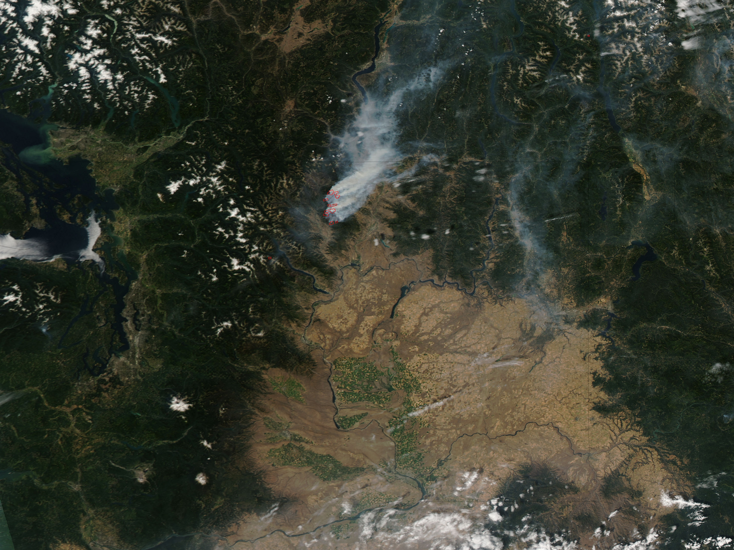
In the mountains of northern Washington, the Tripod Complex Fire burned from July into August. This image of the region was captured by the Moderate Resolution Imaging Spectroradiometer (MODIS) on NASA’s Aqua satellite on August 6, 2006. Places where MODIS detected actively burning fires are marked in red. The actively burning parts of the Tripod Complex make two rough circles in the rugged terrain northeast of the city of Twisp. Smoke billows thickly across the state and into British Columbia, Canada.
According to the August 7 report from the National Interagency Fire Center, the Tripod Complex Fire had grown to an estimated 57, 535 acres, and firefighters had it about 10 percent contained. Numerous residences and other structures were threatened by the fire, which was burning through timber that had been killed by beetle infestation.
The high-resolution image provided above has a spatial resolution of 250 meters per pixel.
NASA image courtesy the MODIS Rapid Response Team, Goddard Space Flight Center