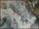
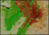
The wildfire activity in Victoria, Australia, continued to worsen on Thursday, January 26, 2006. According to news reports, the fire in the Grampians National Park, pictured here, intensified and spotted beyond containment lines that firefighters had created to check the blaze.
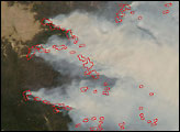
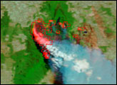
Numerous, widely scattered “hot spots” are visible in this image, which is made from visible and infrared wavelengths of light detected by the Moderate Resolution Imaging Spectroradiometer (MODIS) on NASA’s Terra satellite on January 26. Red outlines enclose areas where MODIS detected fires, and in this type of image, the bright pink glow usually indicates areas of open flame. Unburned vegetation is bright green, and smoke is blue.
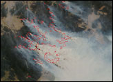
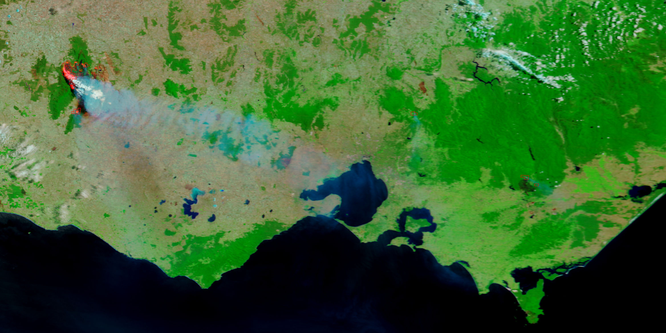
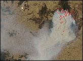
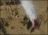
The large image shows several additional fires burning in the state, including a large blaze northeast of the coastal city of Melbourne and one farther east in the Gippsland region, both of which have been threatening nearby towns in recent days. A natural-color image from the MODIS Rapid Response Team shows smoke spreading southward toward Tasmania.
NASA image courtesy the MODIS Rapid Response Team, Goddard Space Flight Center
Bushfires raged in numerous locations in Victoria, Australia, in mid-January 2006.
alert message