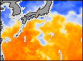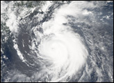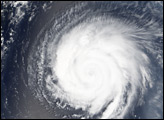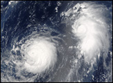

Typhoon Mawar was approaching the coast of Japan on the afternoon of August 24, 2005. The Moderate Resolution Imaging Spectroradiometer (MODIS) on NASA’s Aqua satellite captured this image at 1:05 p.m. local time. At this time, Mawar had peak winds around 195 km/hr (120 mph). It is a few hundred kilometres south of Tokyo and heading north at around 12 mph. Forecasters call for it to come ashore in southern Honshu (the largest of the islands that make up Japan) in the afternoon of August 25, 2005.
NASA image created by Jesse Allen, Earth Observatory, using data obtained courtesy of the MODIS Rapid Response team.
Typhoon Mawar is a strong typhoon in the northwestern Pacific. The storm was predicted to make landfall on Honshu (the main island of Japan) on August 25, with Category 4 strength winds and heavy rainfall.


