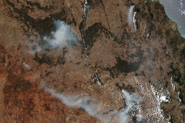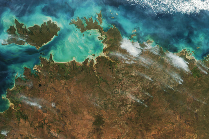
A month after the start of spring, fires raged across Australia’s Northern Territory. A warm and dry start to the season created an environment ripe for blazes in the fire-prone outback.
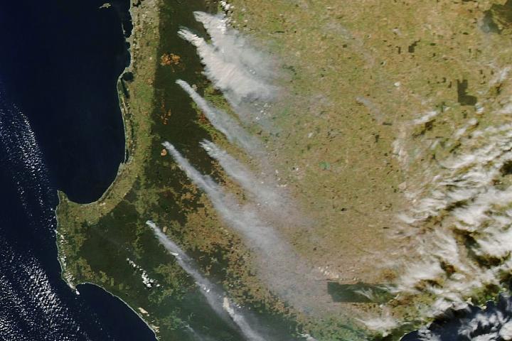
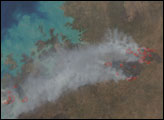
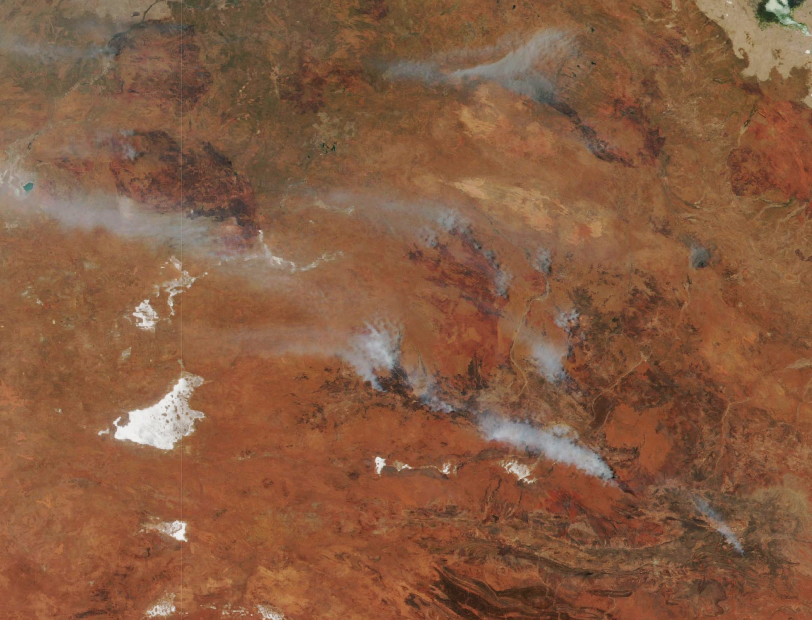
The VIIRS (Visible Infrared Imaging Radiometer Suite) instrument on the Suomi NPP satellite acquired this natural-color image of smoke from fires in the Northern Territory on October 10, 2023. About 15 fires raged in the territory on that date, with several burning near Alice Springs, a town of about 25,000 people.
The largest plume of smoke in the image streamed from the Gillens Bore fire, located approximately 85 kilometers north of Alice Springs, along the Stuart Highway. As of October 12, the fire had burned almost 19,000 hectares (46,000 acres). Notice a burn scar on Northern Territory’s border with Western Australia. The scar is from the Tanami fire, located north of Lake MacKay, which was still burning as of October 12.
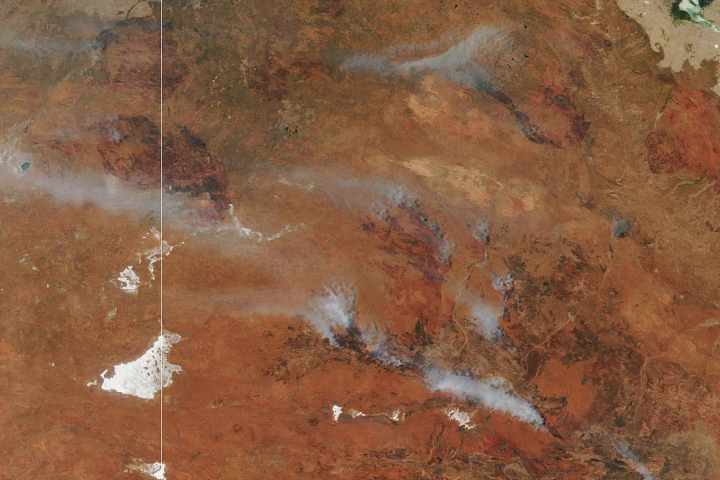
On the eastern side of the territory, another ongoing fire (not shown) scorched about 250,000 hectares (600,000 acres) east of Tennant Creek since early September. According to news reports, the blaze shut down a major highway in early October.
Bushfires occur frequently in northern Australia during the dry season—between March and December. The timing and severity of the fires depend on the climate and the availability of vegetation that fuels them. According to Australia’s Bureau of Meteorology, the Northern Territory received only 0.4 millimeters of rain in September 2023, making it the seventh driest September on a record that goes back to 1900. September was also warmer than usual. Maximum temperatures across the territory were about 2.08°C above the 1961–1990 average.
The fires came after the Australasian Fire Authorities Council (the council for fire services in Australia and New Zealand) predicted an increased risk of springtime bushfires across the country, especially in the central Northern Territory and eastern parts of the country, due to expected warmer and drier conditions. The council noted that plentiful rainfall from three consecutive La Niña years had built up vegetation in Australia’s rangelands. Now, the return of El Niño, on top of human-caused-warming, is contributing to warm and dry conditions allowing plants to dry out and fuel fires.
Some of the world’s largest and fastest spreading fires burn in the grasslands and shrublands of Australia, according to a database chronicling the dynamics of 13.3 million fires observed by NASA’s MODIS (Moderate Resolution Imaging Spectroradiometer) instruments between 2003 and 2016. The largest fire in the record burned near Lake MacKay in 2007, charring a total of 4 million hectares (10 million acres), an area nearly the size of Switzerland. This large fire followed the 2007 La Niña, and according to the authors of the database, similar large fires in arid regions of South Africa and Australia have typically followed La Niña years.
NASA Earth Observatory image by Lauren Dauphin, using VIIRS data from NASA EOSDIS LANCE, GIBS/Worldview, and the Suomi National Polar-orbiting Partnership. Story by Emily Cassidy.