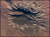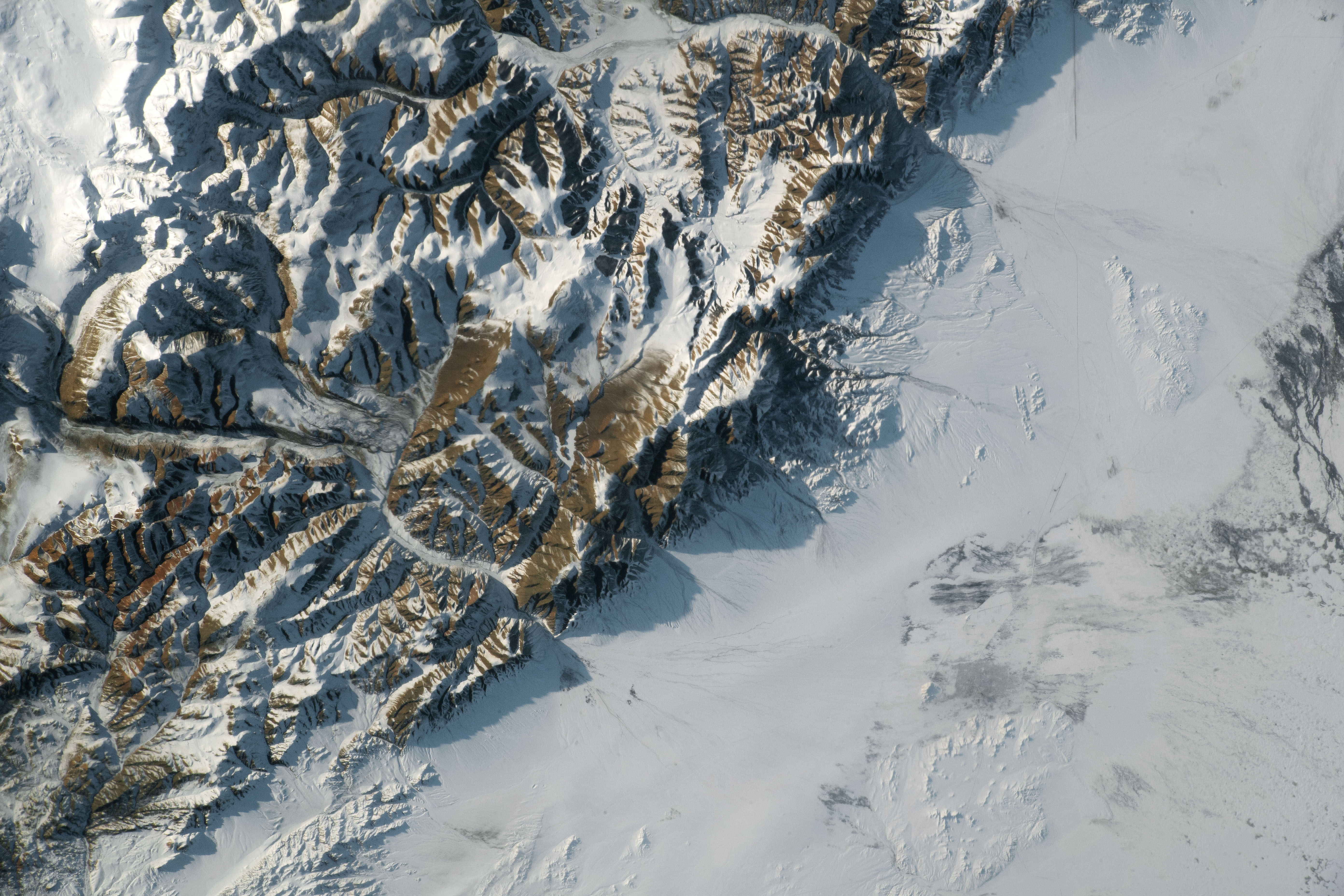
An astronaut onboard the International Space Station (ISS) took this photograph of a mountain range within the Altai Mountains of central Asia. Most daytime, nadir-looking (straight down) views of Earth from the ISS appear two-dimensional. Therefore, astronauts often take photographs when there are low Sun angles as a way of revealing the three dimensions of the landscape.
In this photo, the late afternoon sunlight casts long shadows onto surrounding snow-covered plains in Mongolia. The shadows project the general shapes of the mountains, their heights relative to each other, and some details of the ridge crests. Several peaks in this range rise to elevations greater than 3,000 meters (10,000 feet) above sea level; they stand approximately 1,700 meters (5,600 feet) above the plains.
The flat plains were formed by sediment that was carried down by the rivers flowing out of the mountains; these are known as alluvial fans. Water from these rivers ultimately flows into Lake Uvs (just outside the right margin of the image), a saline, endorheic lake in this semi-arid region.
As is common in the world’s dry places, water from mountain rivers mostly flows underground through the alluvial fans (except after heavier rains, when water flows over fan surfaces). Where the water again reaches the surface, it forms a line of springs that is visible from space. This water gives rise to darker patches of vegetation and melted snow.
This spring water also supplies local populations. One of the darker patches along the spring line is the town of Ulaangom (population 31,000), the capital of the Uvs province of Mongolia. The village of Turgan also appears as a small gray patch next to a river.
Other faint features on the plains show the work of humans. A road and Ulaangom’s new airport appear as straight lines. For a sense of scale, the distance between the center of Ulaangom and the airport is 12.5 kilometers (8 miles).
Astronaut photograph ISS066-E-137473 was acquired on February 7, 2022, with a Nikon D5 digital camera using a focal length of 200 millimeters. It is provided by the ISS Crew Earth Observations Facility and the Earth Science and Remote Sensing Unit, Johnson Space Center. The image was taken by a member of the Expedition 66 crew. The image has been cropped and enhanced to improve contrast, and lens artifacts have been removed. The International Space Station Program supports the laboratory as part of the ISS National Lab to help astronauts take pictures of Earth that will be of the greatest value to scientists and the public, and to make those images freely available on the Internet. Additional images taken by astronauts and cosmonauts can be viewed at the NASA/JSC Gateway to Astronaut Photography of Earth. Caption by Justin Wilkinson, Texas State University, JETS Contract at NASA-JSC.