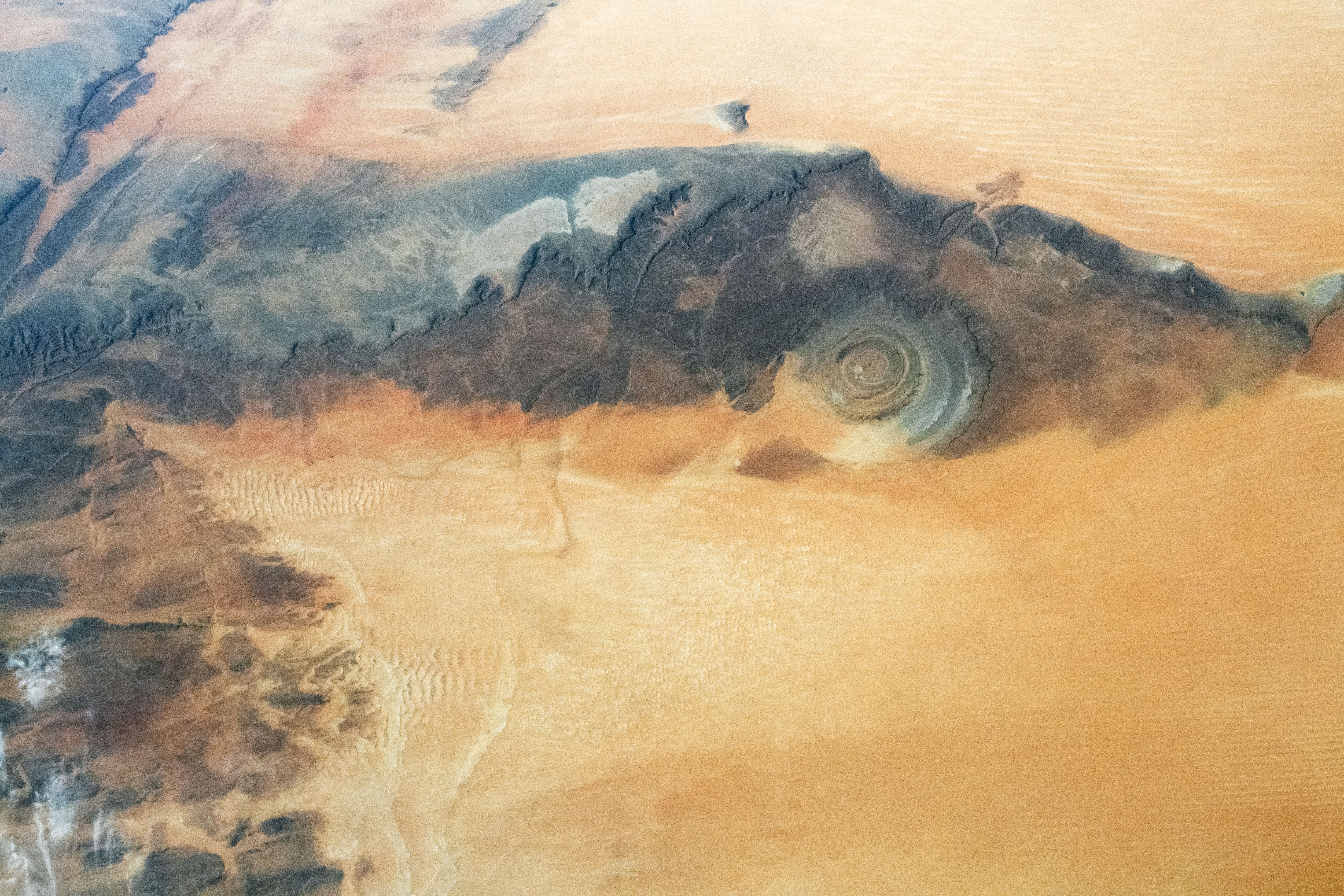
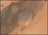
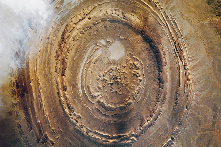
Taken by an astronaut onboard the International Space Station (ISS), this photograph places the Richat Structure—a geologic feature in Mauritania characterized by its concentric rings—in context with the extensive dune fields that surround it. Dubbed “the Eye of Sahara,” the structure has a diameter of about 40 kilometers (25 miles). This astronaut photo from 2011 provides a more detailed view of it.
The origin of the Richat Structure was initially thought to be the result of an impact event because large meteors typically produce circular features on Earth’s surface. But geologic studies of the Eye of Sahara reveal it is actually an uplifted geologic dome, also known as a domed anticline. Over time, differing erosion rates between various rock types in the exposed upper dome led to the formation of circular ridges known as cuestas. Varying color tones in the image reveal different sedimentary and igneous rocks exposed in the structure and landscape.
Expansive dune fields sandwich the dome and exposed rock rings. Longitudinal (linear) dunes sprawl across the lower half and top right of the photo. The center-left includes transverse dunes, which develop perpendicular to the wind direction.
Astronaut photograph ISS063-E-43607 was acquired on July 10, 2020, with a Nikon D5 digital camera using a focal length of 50 millimeters. It is provided by the ISS Crew Earth Observations Facility and the Earth Science and Remote Sensing Unit, Johnson Space Center. The image was taken by a member of the Expedition 63 crew. The image has been cropped and enhanced to improve contrast, and lens artifacts have been removed. The International Space Station Program supports the laboratory as part of the ISS National Lab to help astronauts take pictures of Earth that will be of the greatest value to scientists and the public, and to make those images freely available on the Internet. Additional images taken by astronauts and cosmonauts can be viewed at the NASA/JSC Gateway to Astronaut Photography of Earth. Caption by Minna Adel Rubio, GeoControl Systems, JETS Contract at NASA-JSC.
alert message


