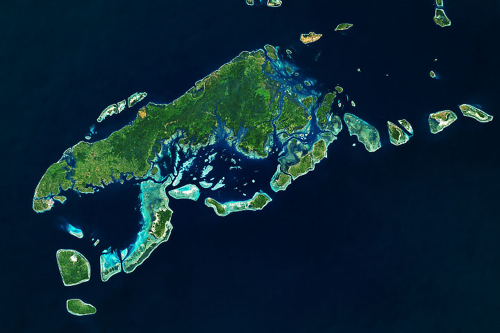
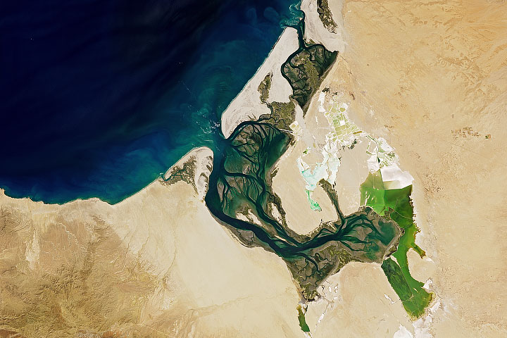
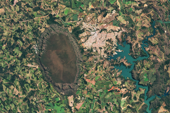
The Earth Observatory has published its last Image of the Day on this website. Please join us on our new home at science.nasa.gov/earth/earth-observatory.
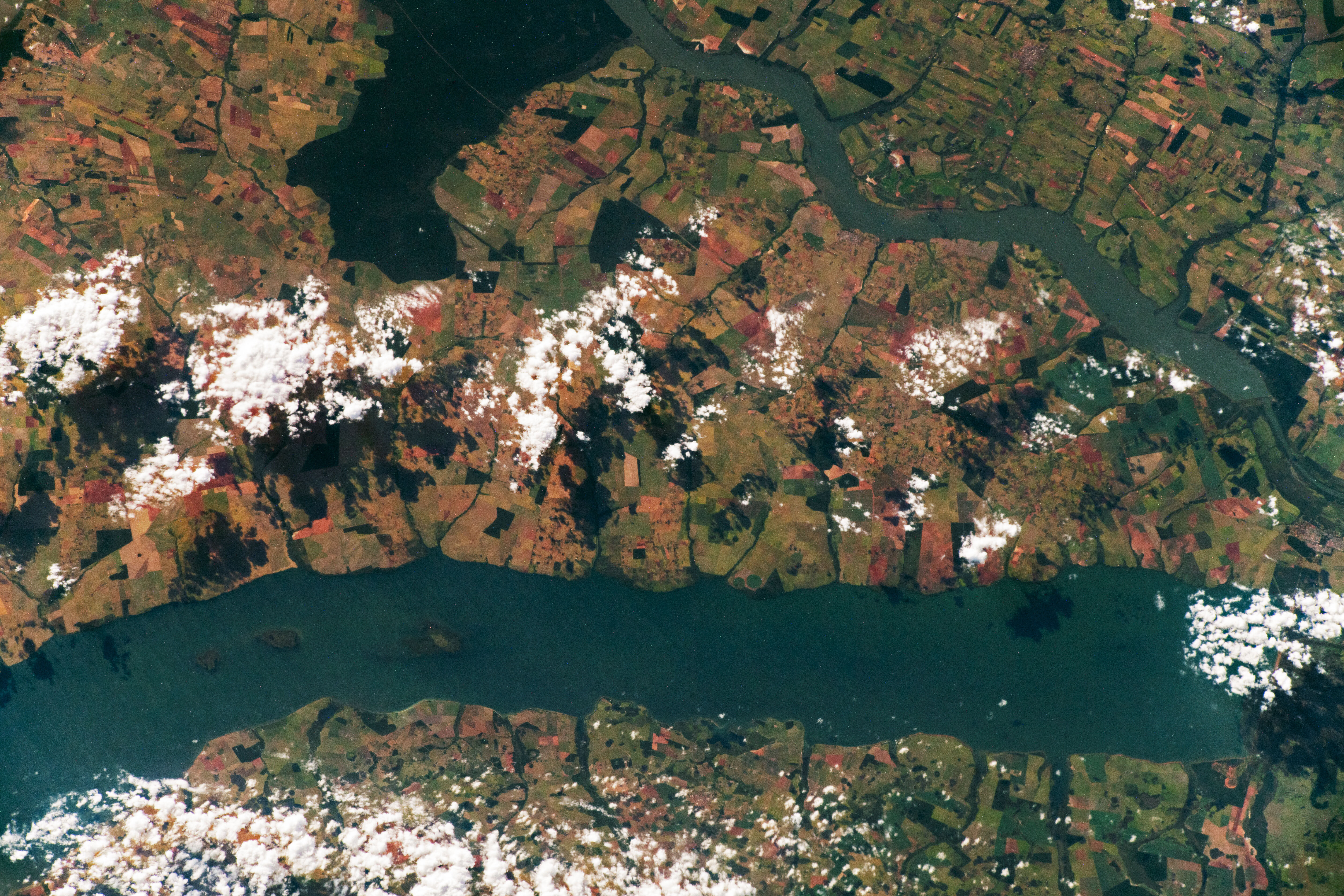
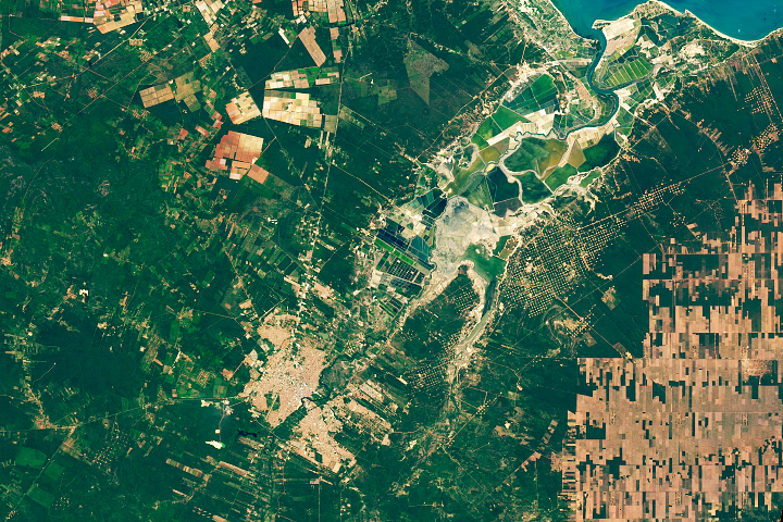
An astronaut onboard the International Space Station (ISS) took this photograph of the Pontal do Paranapanema region of south-central Brazil.
Created in 1986, the Morro do Diabo State Park of São Paulo preserves about 34,000 hectares (84,000 acres) of a native, semi-deciduous forest ecosystem. South of the park, the Paranapanema River forms the border between São Paulo and Paraná states. (Note that north is to the lower left in this ISS view.)
In addition to serving as a physical border, the Paranapanema is a tributary to the Paraná River, merging just outside the bottom right of the photo. Over the past three decades, since the completion of the Motta Dam, the Paraná has progressively widened. Construction of the dam resulted in many geomorphological and ecological changes to the river.
Much of Brazil, including this part of the São Paulo state, has undergone extensive clearing of native vegetation to create space for agriculture. This shift toward agriculture began nearly a century ago and led to the lighter hued, geometrically shaped pastures and farms visible throughout this area.
One consequence of this deforestation has been a rapid decline in habitat for native animal and plant species. Recent conservation efforts—including the creation of the Morro do Diabo State Park—have attempted to limit further forest fragmentation and preserve remaining native habitats for bird and mammal species such as the endangered black lion tamarin.
Astronaut photograph ISS066-E-87419 was acquired on December 7, 2021, with a Nikon D5 digital camera using a focal length of 200 millimeters. It is provided by the ISS Crew Earth Observations Facility and the Earth Science and Remote Sensing Unit, Johnson Space Center. The image was taken by a member of the Expedition 66 crew. The image has been cropped and enhanced to improve contrast, and lens artifacts have been removed. The International Space Station Program supports the laboratory as part of the ISS National Lab to help astronauts take pictures of Earth that will be of the greatest value to scientists and the public, and to make those images freely available on the Internet. Additional images taken by astronauts and cosmonauts can be viewed at the NASA/JSC Gateway to Astronaut Photography of Earth. Caption by Cadan Cummings, Jacobs, JETS Contract at NASA-JSC.