The Earth Observatory has published its last Image of the Day on this website. Please join us on our new home at science.nasa.gov/earth/earth-observatory.
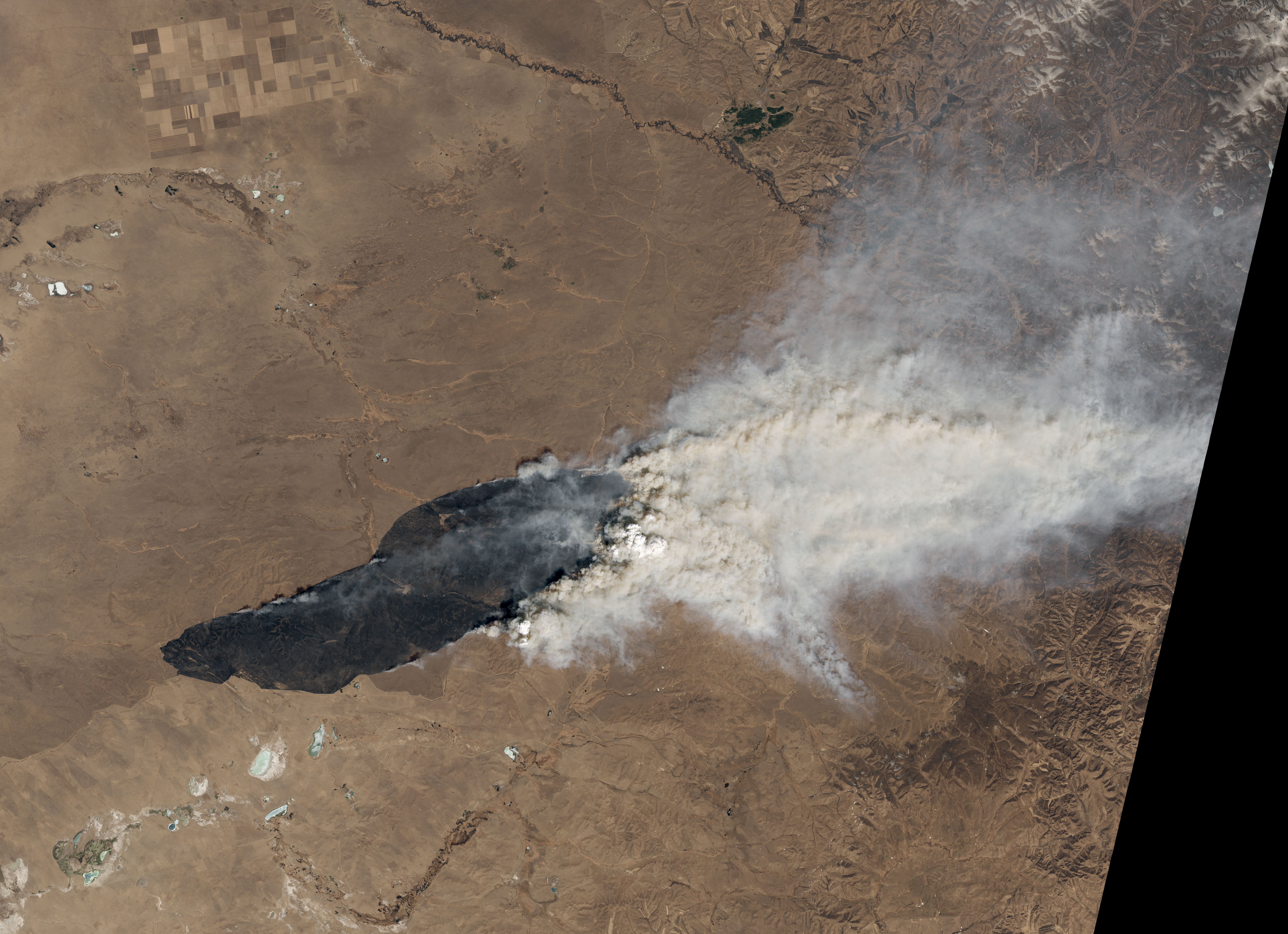
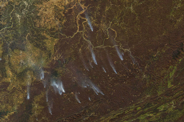
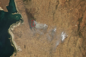
When spring warmth melts snow off the steppe of eastern Mongolia, the remains of last year’s plant growth are exposed. In dry and windy conditions, these brown, withered grasslands can become tinder for wildfires.
Those were the conditions when the Landsat 8 satellite acquired these natural-color images of a large, smoky fire in Mongolia’s Dornod province. The Operational Land Imager (OLI) captured the image at 10:50 a.m. local time (2:50 UTC) on April 19, 2022.
Satellites first detected evidence of the fire overnight on April 18. By the next night, the blaze had spread roughly 90 kilometers (60 miles) to the east. Strong winds—driven by a tight atmospheric pressure gradient between a high over central China and a low over Siberia—likely contributed to the rapid spread of the fire, according to University of Wisconsin-Madison meteorologist Scott Bachmeier.
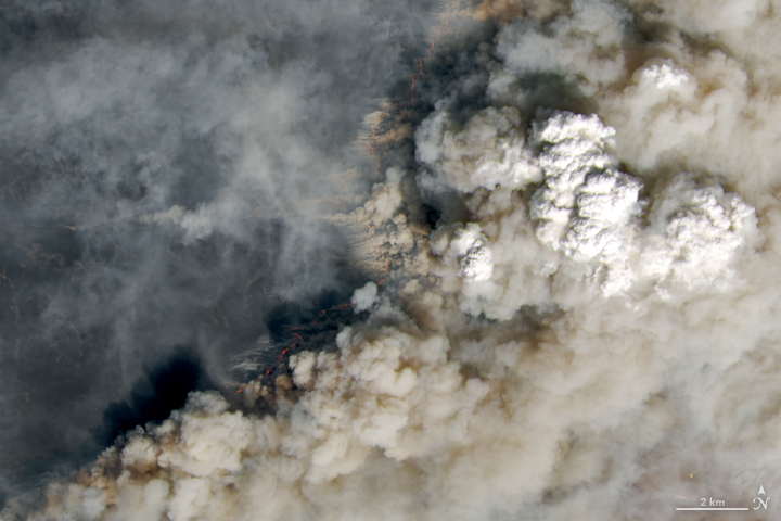
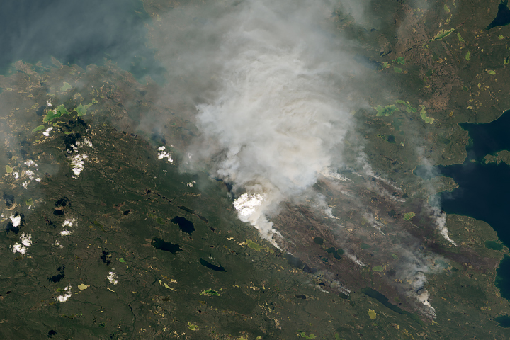
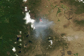
The fire caught the attention of atmospheric scientists partly because it produced a small pyrocumulus cloud. These “fire clouds,” or cumulus flammagenitus, are similar to cumulus, but the rising air that prompts their development comes from heat from a fire rather than from the Sun warming the ground.
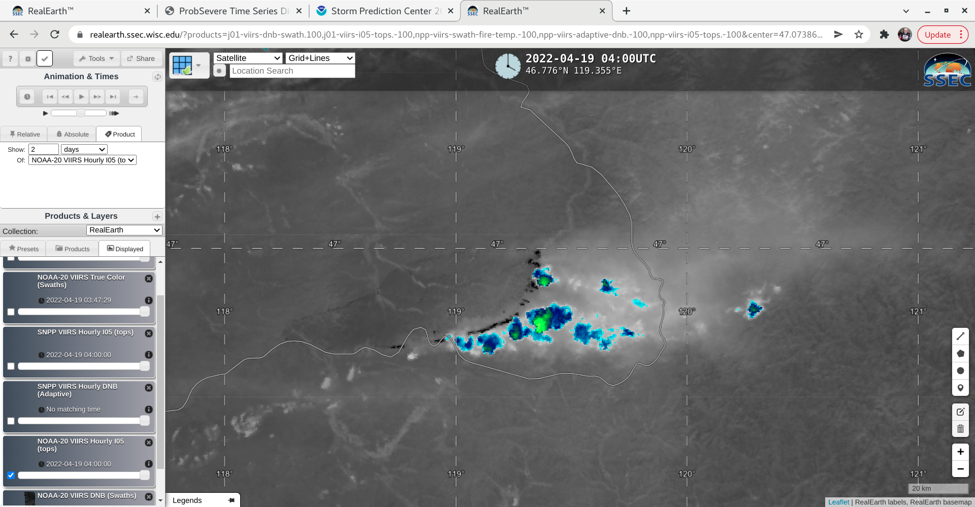
In order for scientists to classify a cloud as pyrocumulus, temperatures observed by satellites at the top of the cloud must be -40°C (-40°F) or cooler. According to Bachmeier, clouds from this fire passed that threshold at 12:02 p.m. local time (04:02 UTC) on April 19, a few hours after OLI acquired the image.
NASA Earth Observatory images by Lauren Dauphin, using Landsat data from the U.S. Geological Survey. Story by Adam Voiland.


