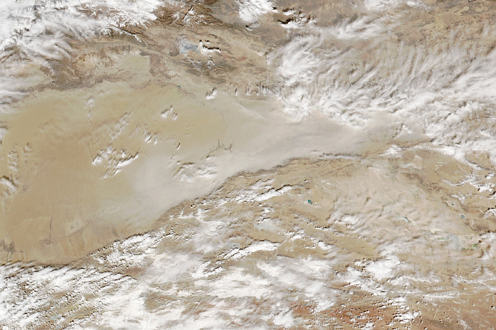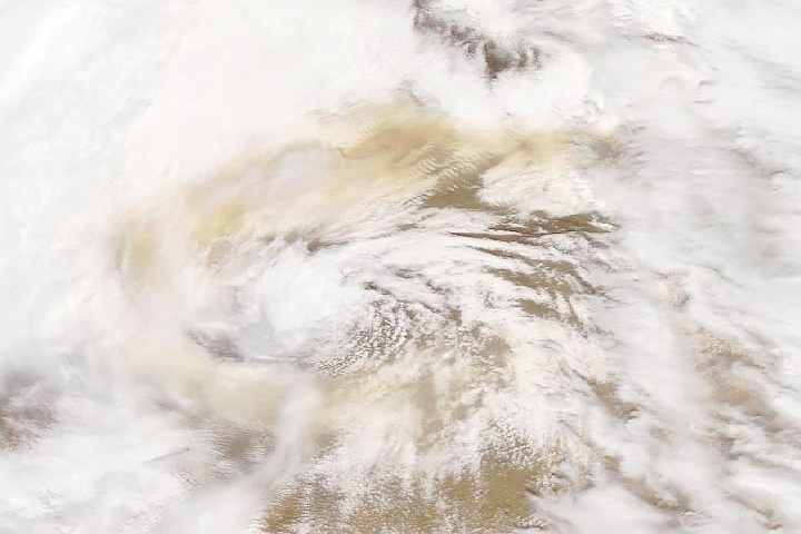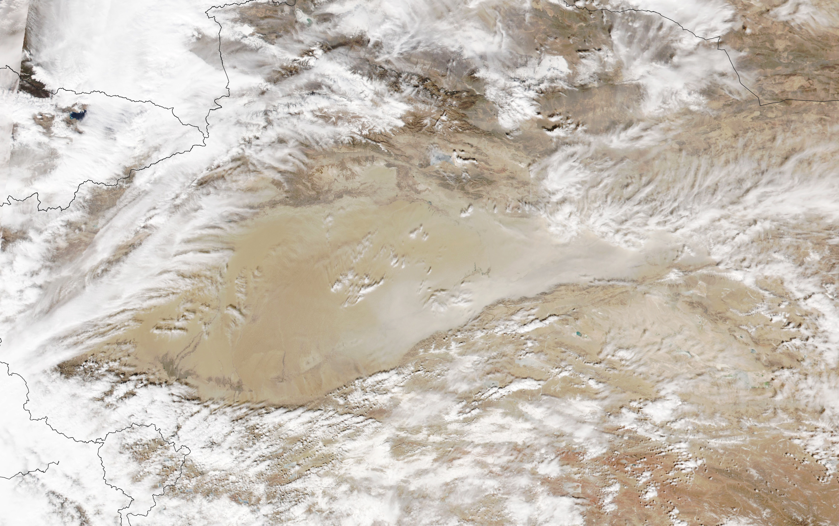
The Taklamakan desert in Xinjiang province in western China is among the harshest, driest, most barren places on Earth. In the local Ugyur language, Taklamakan roughly translates to: "You can go in, but you will never come out."
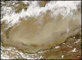
This does not necessarily apply, however, to grains of dust. With scarce rain and little vegetation to hold material in place, strong winds often pluck up bits of dust and move them around, sometimes long distances. On March 7, 2022, the Visible Infrared Imaging Radiometer Suite (VIIRS) on the NOAA-20 satellite captured this natural-color image of a cloud of dust moving in the Tarim Basin along the Kunlun Mountains.
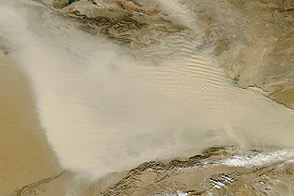
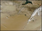
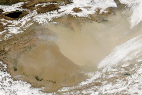
In a recent analysis of two decades of observations from the Moderate Resolution Imaging Spectroradiometers (MODIS) on NASA’s Terra and Aqua satellites, scientists reported that airborne dust was most common and thickest over Xinjiang in the spring. They also showed that the majority (92 percent) of dust affecting Xinjiang comes from natural sources, such as dried lakes and dunes. The rest comes from anthropogenic sources, such as farmland and cities.
In another recent study based on the Goddard Chemistry Aerosol Radiation and Transport (GOCART) model, atmospheric scientists showed that dust initially tends to get trapped by the mountains surrounding the Tarim basin, forming a “dust reservoir.” However, winds often resuspend that accumulated dust and, over time, transport it downwind to places outside the basin.
NASA Earth Observatory image by Lauren Dauphin, using VIIRS data from NASA EOSDIS LANCE, GIBS/Worldview, and the Joint Polar Satellite System (JPSS). Story by Adam Voiland.
alert message