An enormous dust cloud snaked over Australia in mid-February 2019, carried toward the southeast by strong, dry winds. The dust reddened the skies over Sydney and turned air quality “hazardous” over parts of New South Wales.
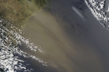
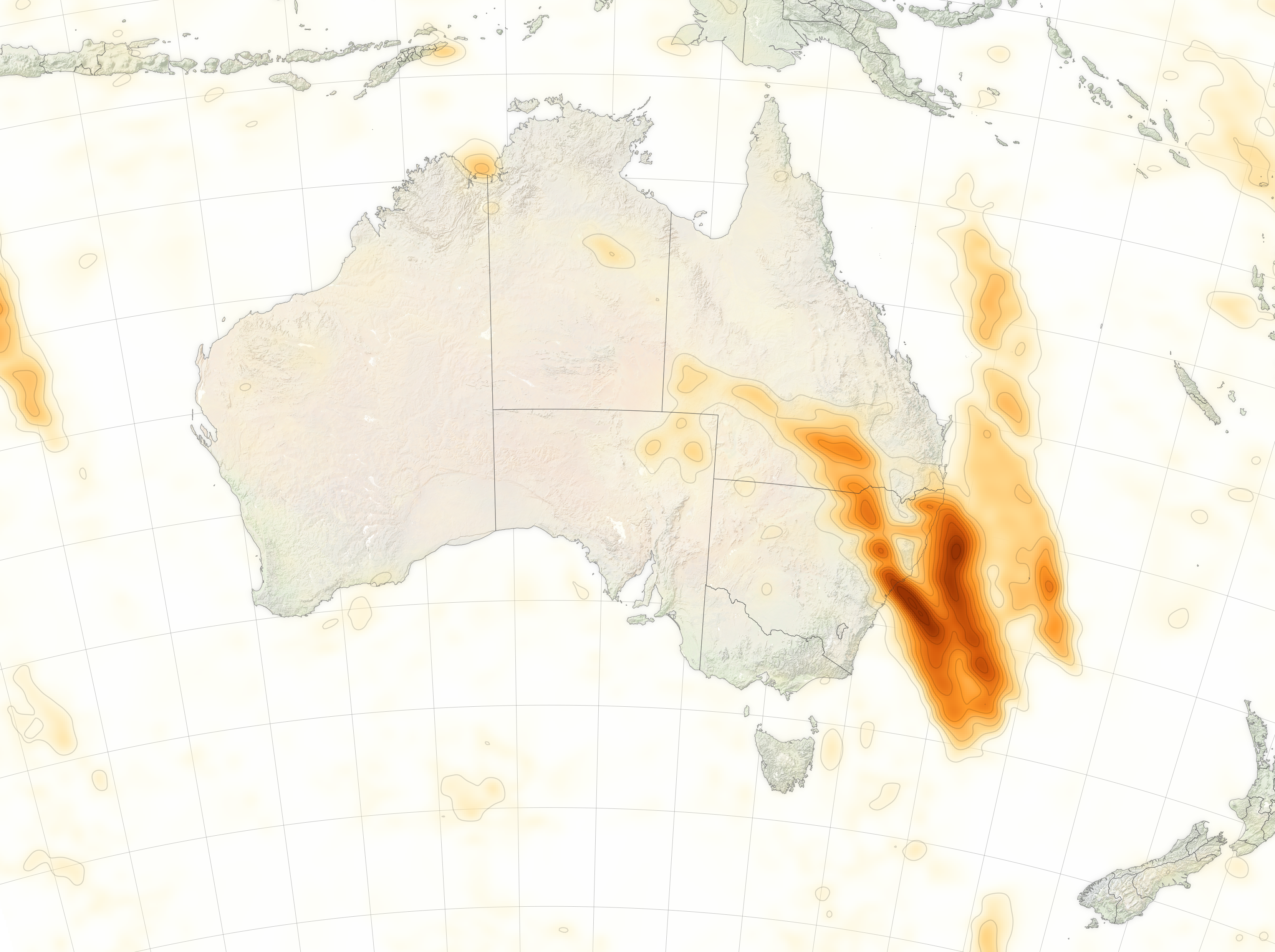
The dust cloud is visible in this map, produced with data collected on February 13, 2019, with the Ozone Mapping Profiler Suite (OMPS) on the NOAA-20 satellite. The map shows relative aerosol concentrations, with lower concentrations in yellow and higher concentrations in dark orange-brown.
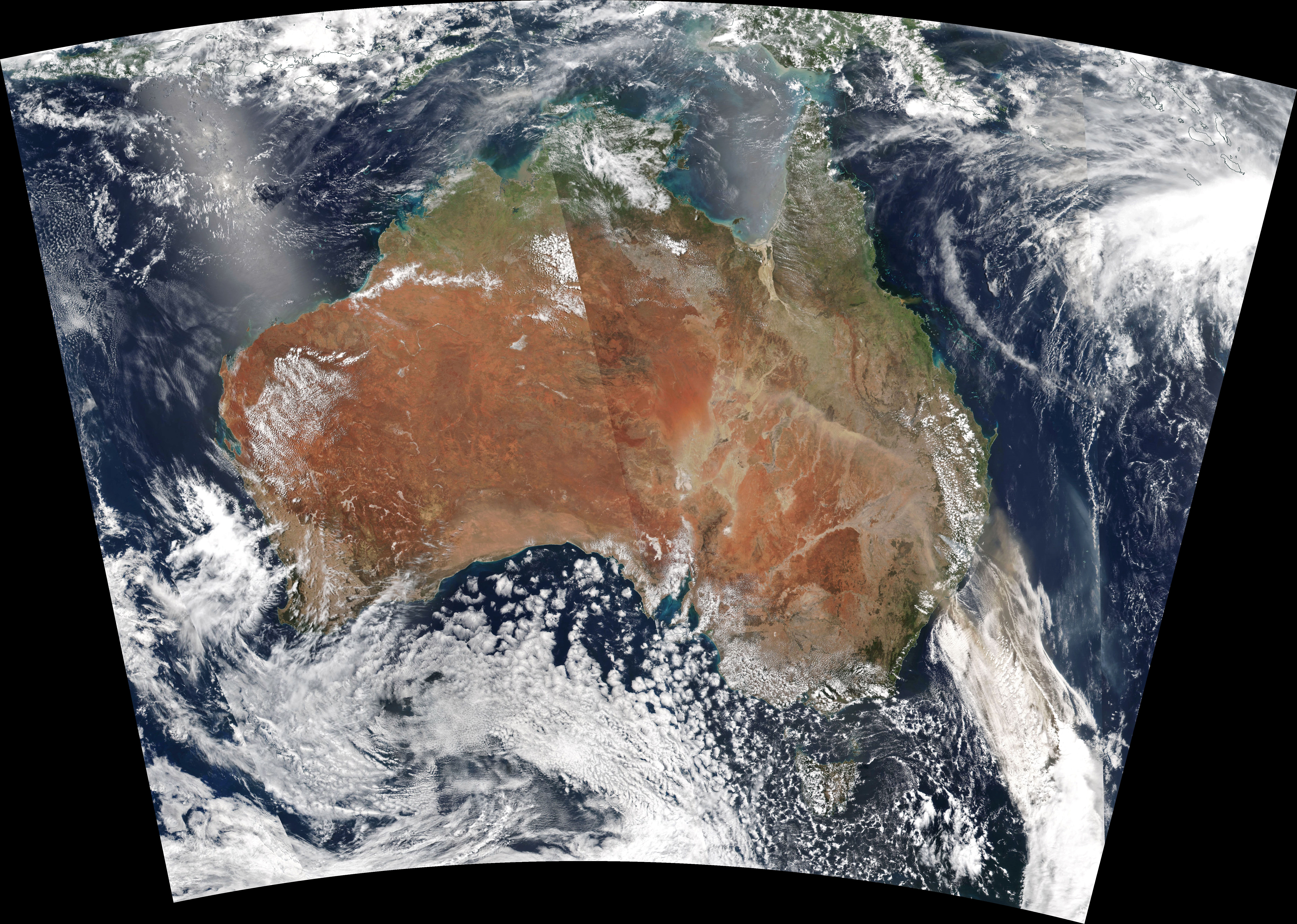
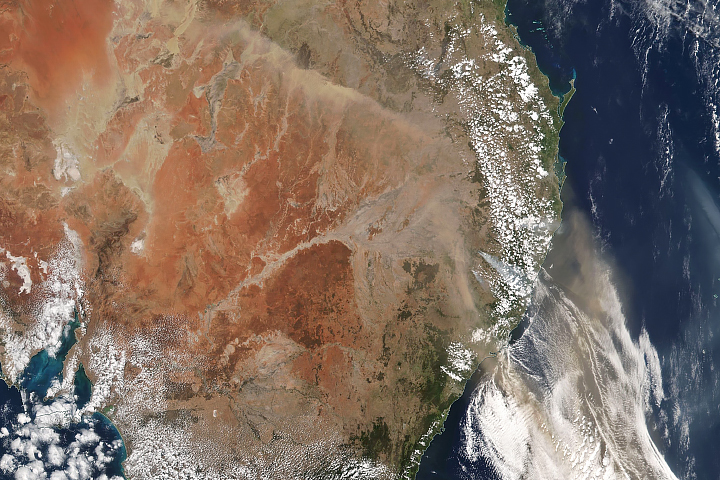
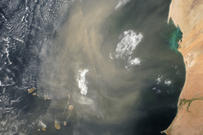
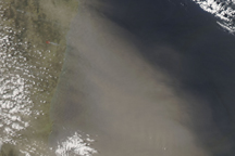
That same day, the Visible Infrared Imaging Radiometer Suite (VIIRS) on the Suomi NPP satellite acquired this natural-color image of the dust. According to news reports, the dust plume stretched 1,300 kilometers over land, and another 1,000 kilometers offshore.
Air quality monitoring stations around Sydney reported elevated levels of PM10—particles smaller than 10 micrometers that can enter the lungs and cause health problems. According to the New South Wales Office of Environment & Heritage, air in parts of the North West Slopes region reached hazardous levels—the worst level on the air quality index.
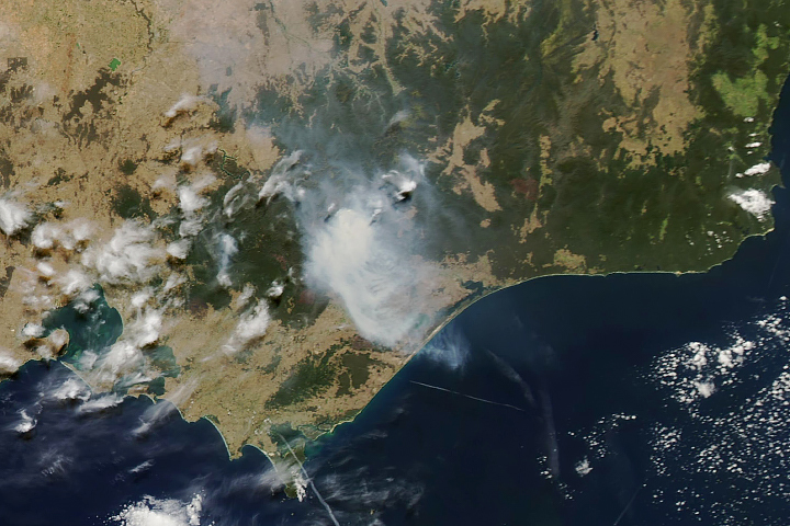
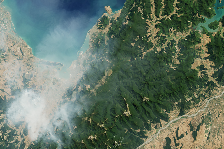
Notice the smoke from fires mixing in with the dust plume. The Tingha Plateau bush fire, for example, remained out of control and had burned 125 square kilometers (48 square miles) by the morning of February 13, according to the New South Wales Rural Fire Service.
NASA Earth Observatory images by Joshua Stevens, using Suomi VIIRS data from NASA EOSDIS/LANCE and GIBS/Worldview, and NOAA-20 OMPS data courtesy of Colin Seftor (SSAI). Story by Kathryn Hansen.