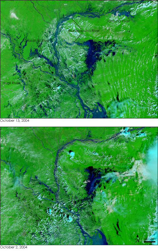
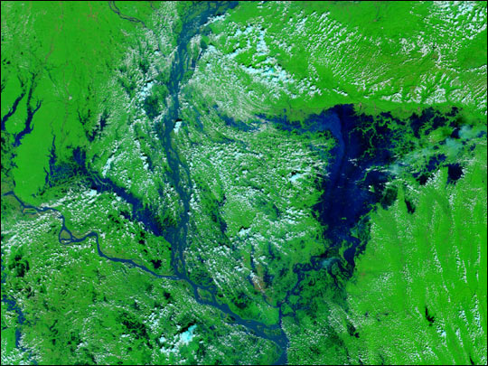
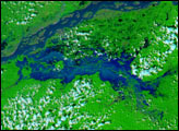
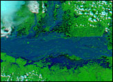
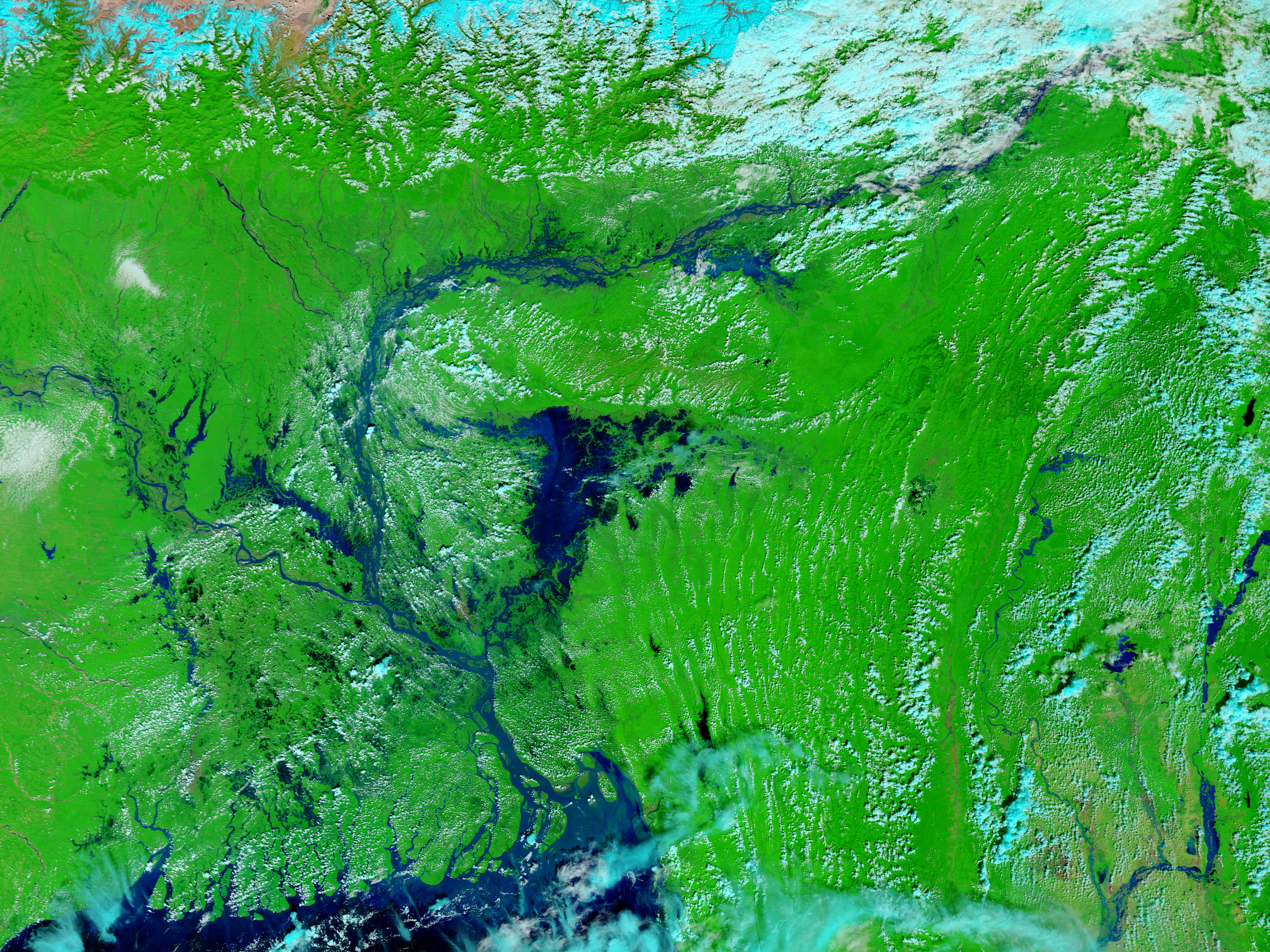
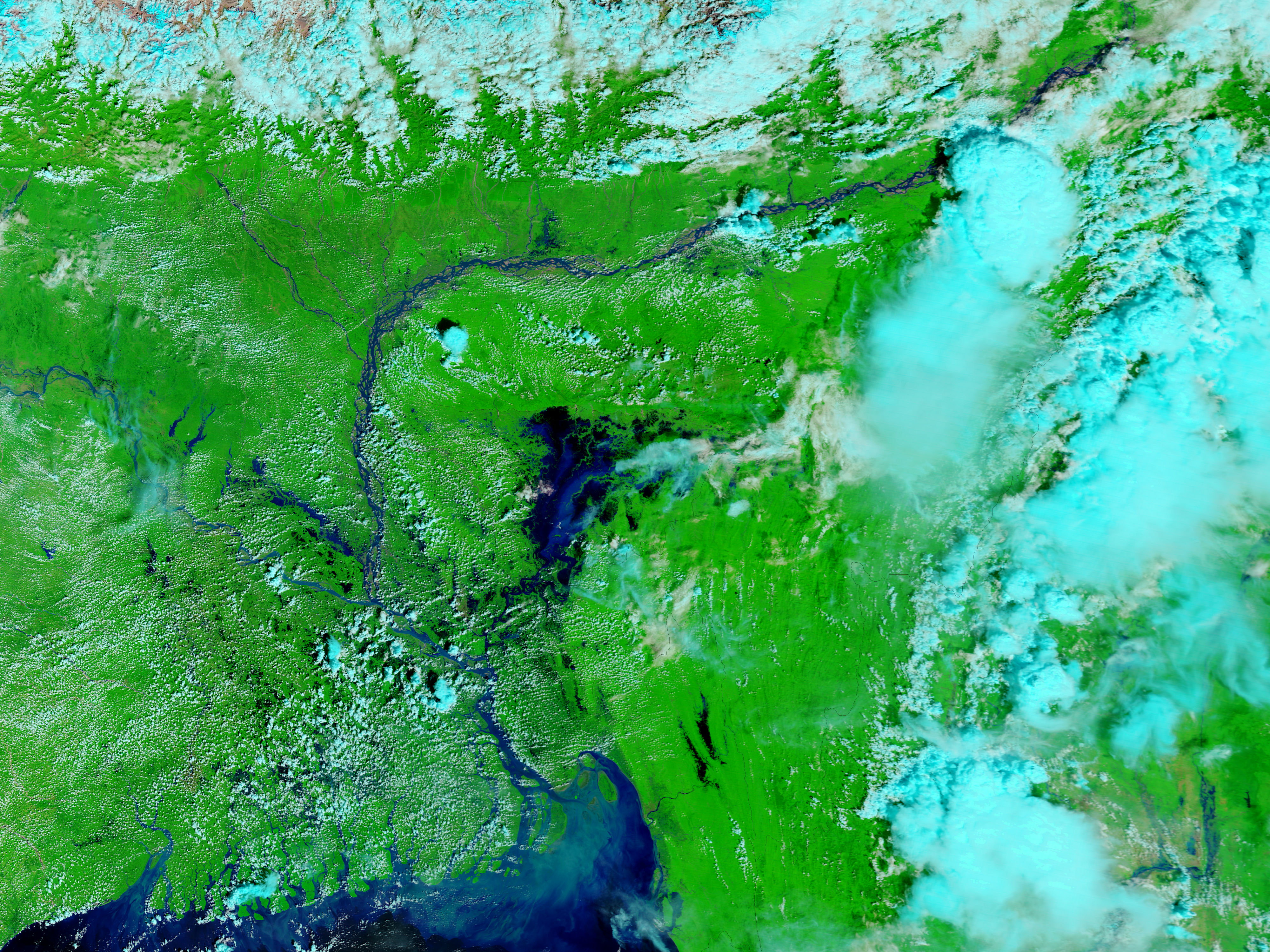
On October 13, 2004, the rivers of northeastern India and Bangladesh remained swollen after a tropical depression dumped heavy rain over the region for several days the previous week. The storm is being called the worst non-monsoon storm in a decade, and the floods it triggered were deadly. To date, over 150 people have been confirmed dead as a direct result of the floods, according to media reports. This pair of false-color images, both acquired by the Moderate Resolution Imaging Spectroradiometer (MODIS) on NASA’s Terra satellite, shows the extent of the floods.
The most deadly flooding occurred in the Goalpara district of India’s Assam state, shown in the top right corner of these images. The largest loss of life occurred in floods along the Jamuna River and in the nearly Himalayan foothills. However, as the image taken on October 13 shows, other rivers were also flooded. The normally wide Brahmaputra has expanded further, and to its southeast, Bangladesh’s Chalan Bil River is also swollen. In West Bengal, India, on the left side of the image, the Hugli River looks flooded.
The large images provided above have a resolution of 250 meters per pixel. Both the October 13 and the October 2 images are available in additional resolutions and formats, including a true-color view of the scene. In the above false-color images, water is dark blue and black, clouds are light blue, and vegetation is green.
NASA images courtesy the MODIS Rapid Response Team at NASA GSFC
A tropical depression brought several days of intense rain to northeastern India and Bangladesh, filling the region's rivers. The rains triggered deadly floods, which are visible in these MODIS images.
alert message


