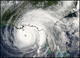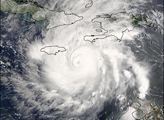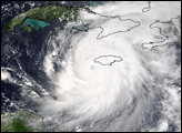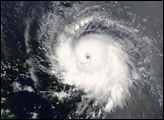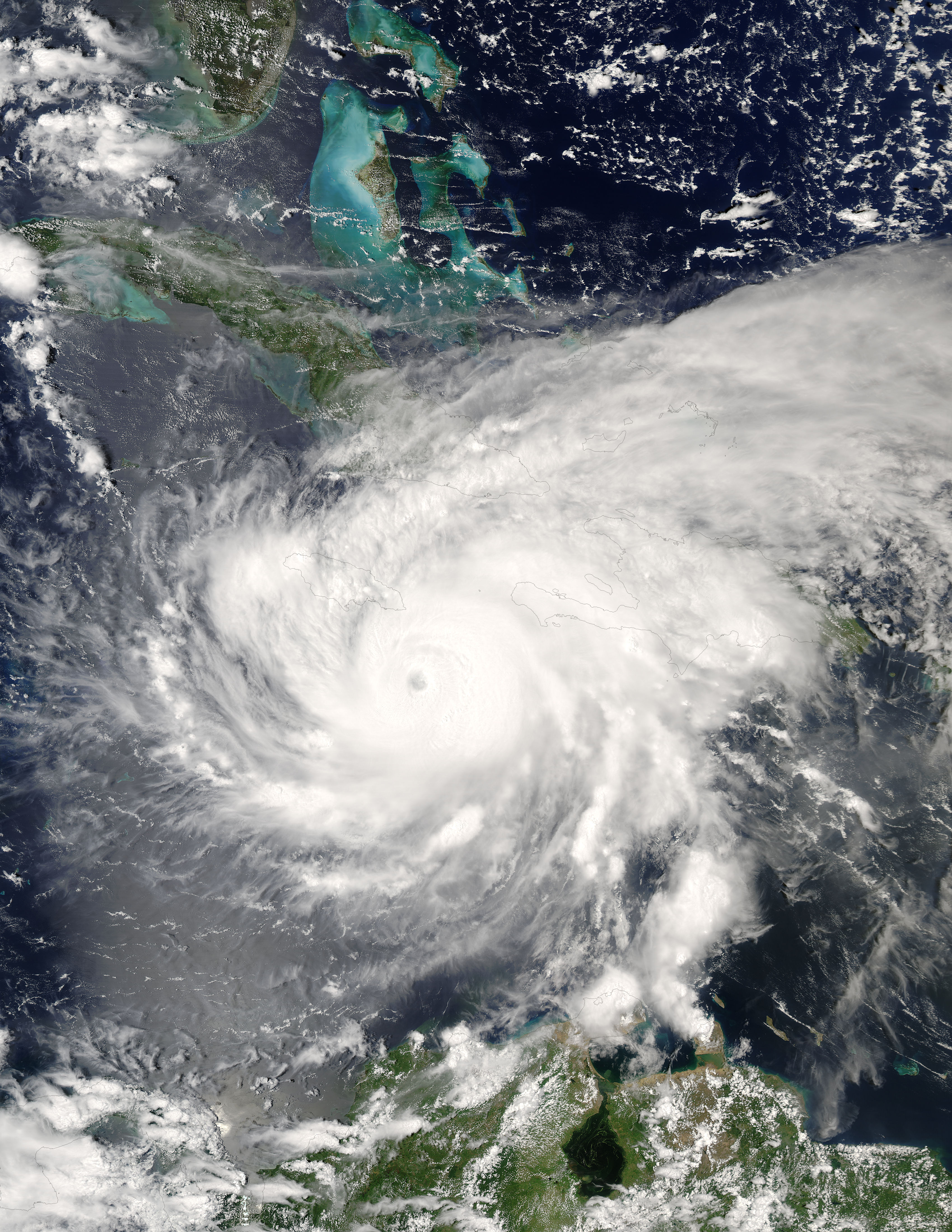
The MODIS instrument aboard NASA's Aqua satellite captured this true-color image of Hurricane Ivan on Septebmer 10, 2004 at 18:30 UTC (2:30 PM EDT). At the time this image was taken Ivan was located approximately 140 km (85 miles) south-southeast of Kingston, Jamaica and was moving towards the west-northwest at 19 km/hr (12 mph). Ivan had maximum sustained winds of 230 km/hr (145 mph) with higher gusts.
The MODIS Rapid Response System provides this image at additional resolutions and formats.
NASA image courtesy Jacques Descloitres, MODIS Land Rapid Response Team at NASA GSFC.