
Numerous lightning-ignited fires have been burning in east-central Alaska since mid-June 2004. The carbon monoxide generated by the fires is blowing south over western Canada and the northwestern United States, as shown by this image, which is based on a composite of data collected over a 10 day period, from June 14 to June 24, 2004, by the Measurements of Pollution in the Troposphere (MOPITT) instrument aboard NASA’s Terra satellite. The colors represent the mixing ratio of carbon monoxide in parts per billion by volume (ppbv) at an altitude of roughly 3 km (700 mbar). Red and yellow indicate high levels of pollution.
NASA image created from data provided by the NCAR MOPITT Team
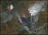
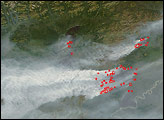
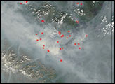
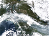
In Alaska, the landscape is already changing over to its fall wardrobe, with summer’s green being traded for brown and gold. Fires, some of which have been burning since before the beginning of summer, were still smoldering on September 7, 2004.


