June 24, 2003JPEG
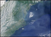
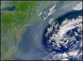
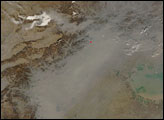
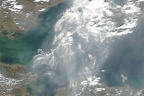
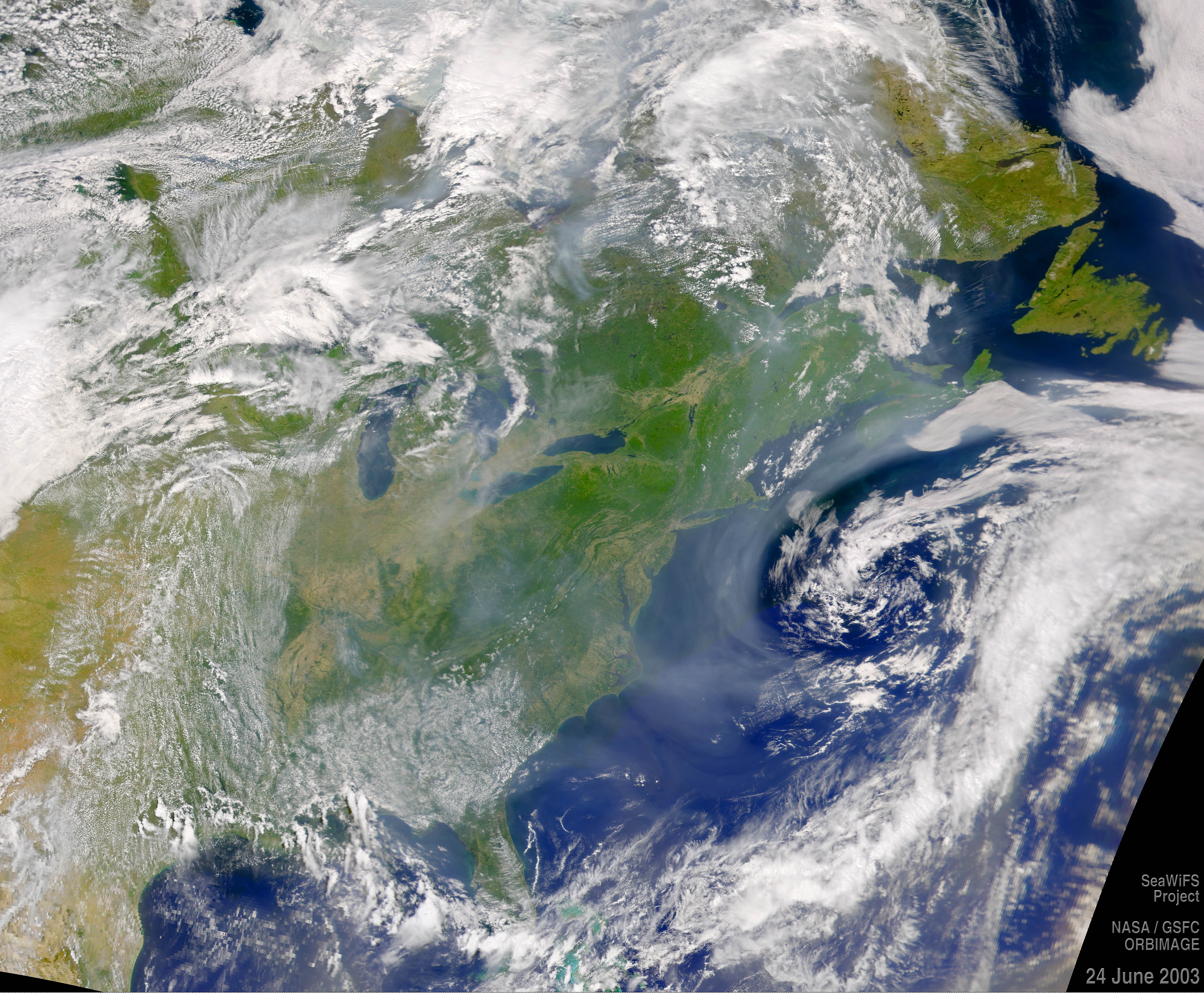
On June 24, 2003, the Sea-viewing Wide Field-of-View Sensor (SeaWiFS) saw thick haze (perhaps smoke from Canadian fires) along the eastern seaboard of the U.S. The haze is being concentrated around a low pressure center offshore.
Image courtesy the SeaWiFS Project, NASA/Goddard Space Flight Center, and ORBIMAGE
On June 26, 2003, SeaWiFS captured this image of Code Red Air (haze and pollution) over most of the U.S. East Coast. Terra MOPITT observations reveal high levels of carbon monoxide.


MODIS shows a narrow east-west band of haze over and west of the Sea of Azov on April 7, 2009.
Acquired October 14, 2011, this natural-color image shows thick haze off the coast of eastern China, over Bo Hai.
