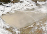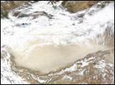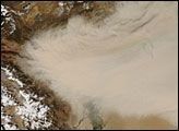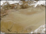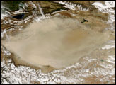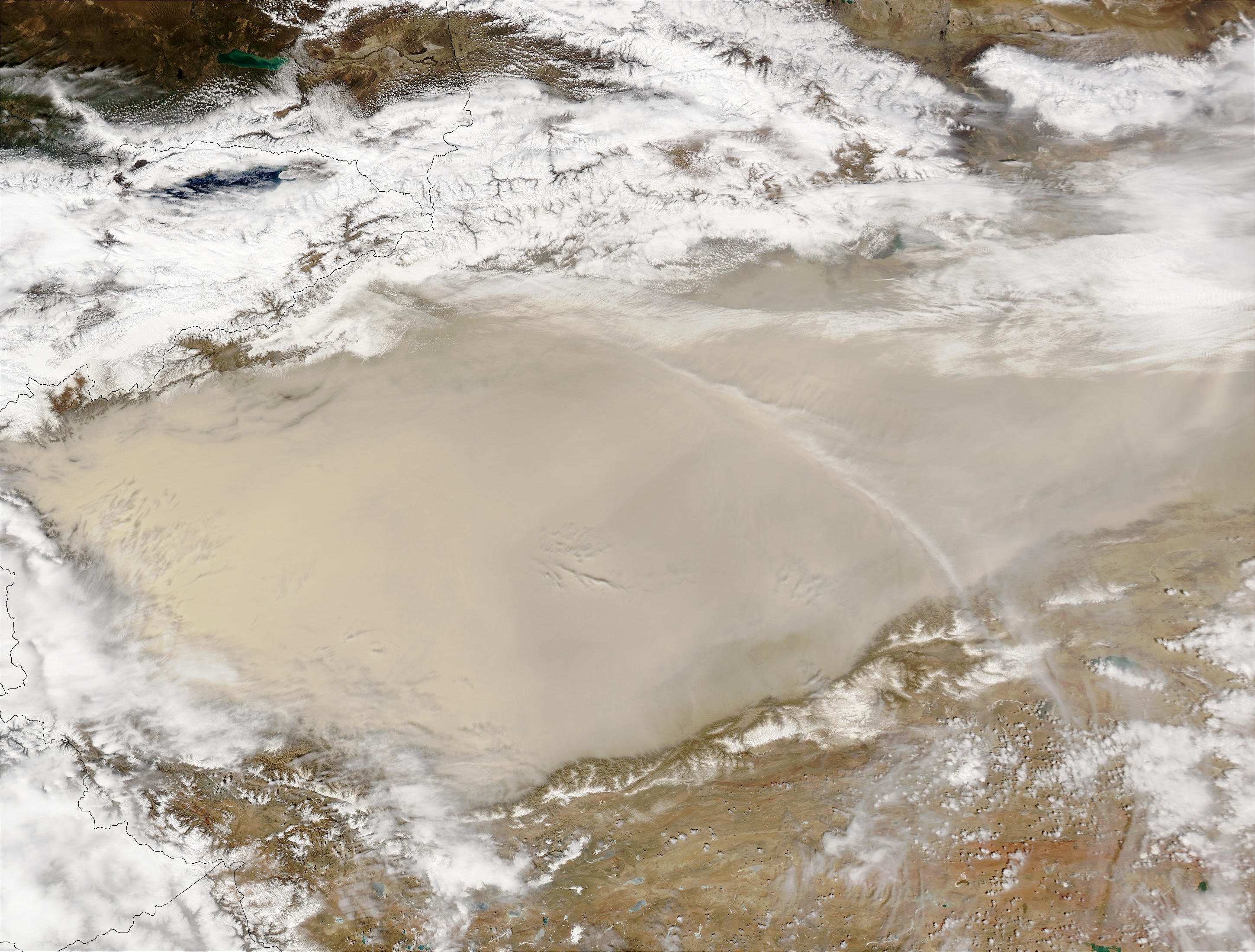
Ringed by the Kunlun Mountains to the south and the Tien Shan Mountains to the north, a dust storm over the Taklimakan Desert is confined to the desert basin in this true-color Aqua MODIS image from April 18, 2003.
NASA Earth Observatory image courtesy Jesse Allen, based on data from the MODIS Land Rapid Response Team at NASA GSFC.