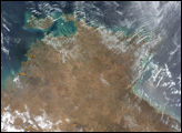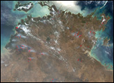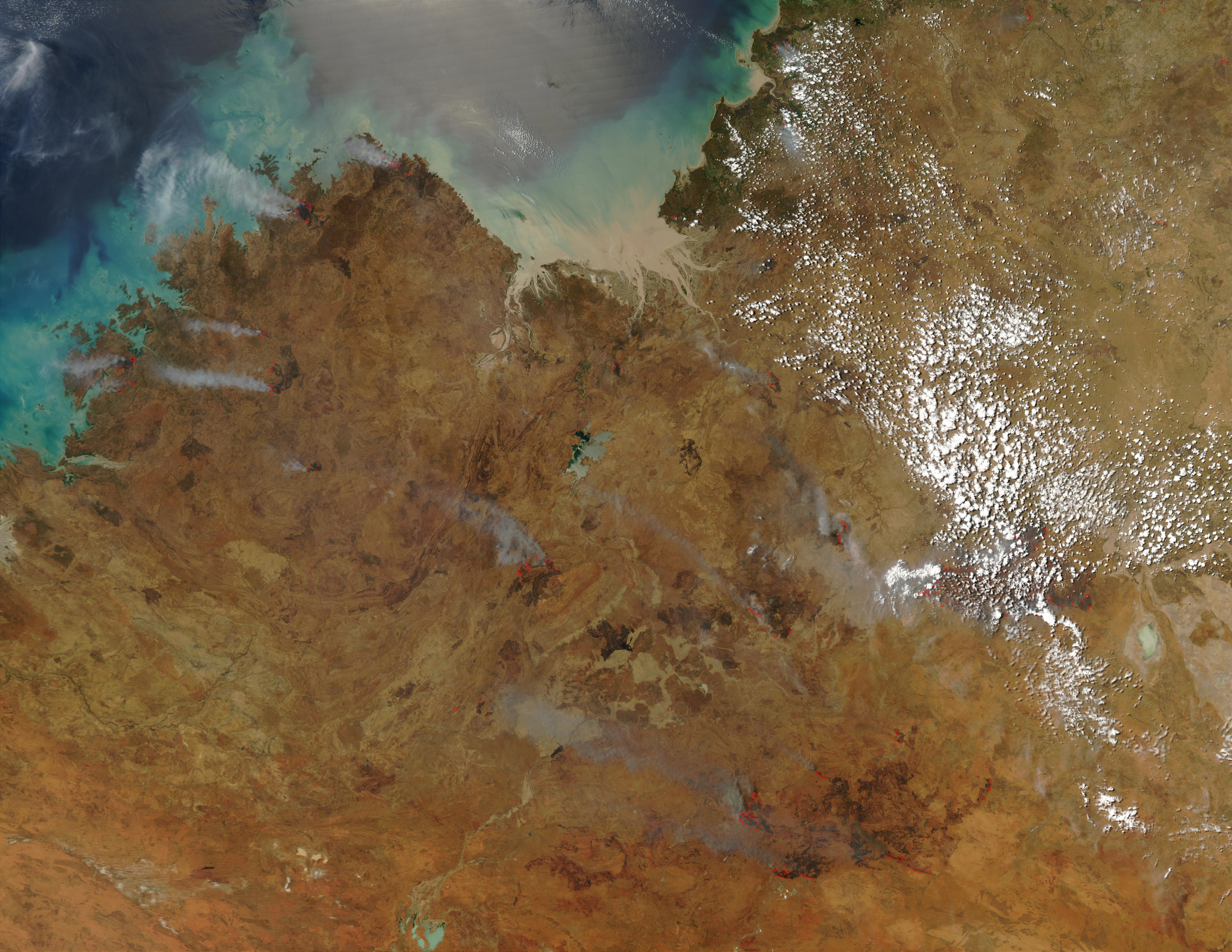
This true-color image from the Moderate Resolution Imaging Spectroradiometer (MODIS) from October 9, 2002, shows numerous fires burning across Western Australia (left) and Northern Territory (right). The boundary between the two falls along a north-south line running just right of the center of the image.
Image courtesy Jacques Descloitres, MODIS Land Rapid Response Team at NASA GSFC
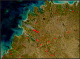
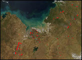
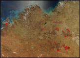
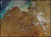
Dry season fires are scattered across the northern part of Australia in October 2002. This image shows Northern Territory and Western Australia.
alert message