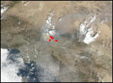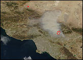
The Williams Fire northeast of Los Angeles continues to move through Angeles National Forest. As of Friday morning, September 27, the fire had spread to 35,000 acres and had forced the evacuation of more than 2,000 people from the National Forest and nearby suburbs.
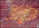
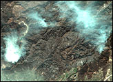
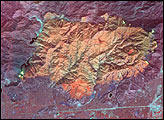
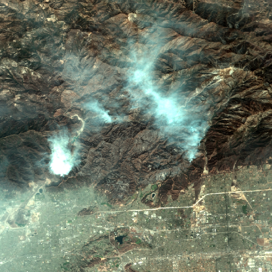
This image shows the area affected by the fire. The image was captured by an aircraft- mounted remote sensing device called MASTER, which stands for MODIS/ASTER Airborne Simulator. A simulator of the Moderate Resolution Imaging Spectroradiometer (MODIS) and Advanced Spaceborne Thermal Emission and Reflection Radiometer (ASTER) instruments on the Terra satellite, the device captured this image of the Williams Fire while flying on board NASA’s ER-2 aircraft on Thursday, September 26, 2002. In this true-color image, the burned area sits roughly in the center. The smoke roughly follows the perimeter of the fire in the north. Notice that the fire is burning right up against the San Gabriel reservoir on its western flank, which could create water quality problems down the road. The fire is burning very near several LA suburbs (bottom).
Image courtesy the MASTER instrument team and the NASA Dryden Airborne Science Program.