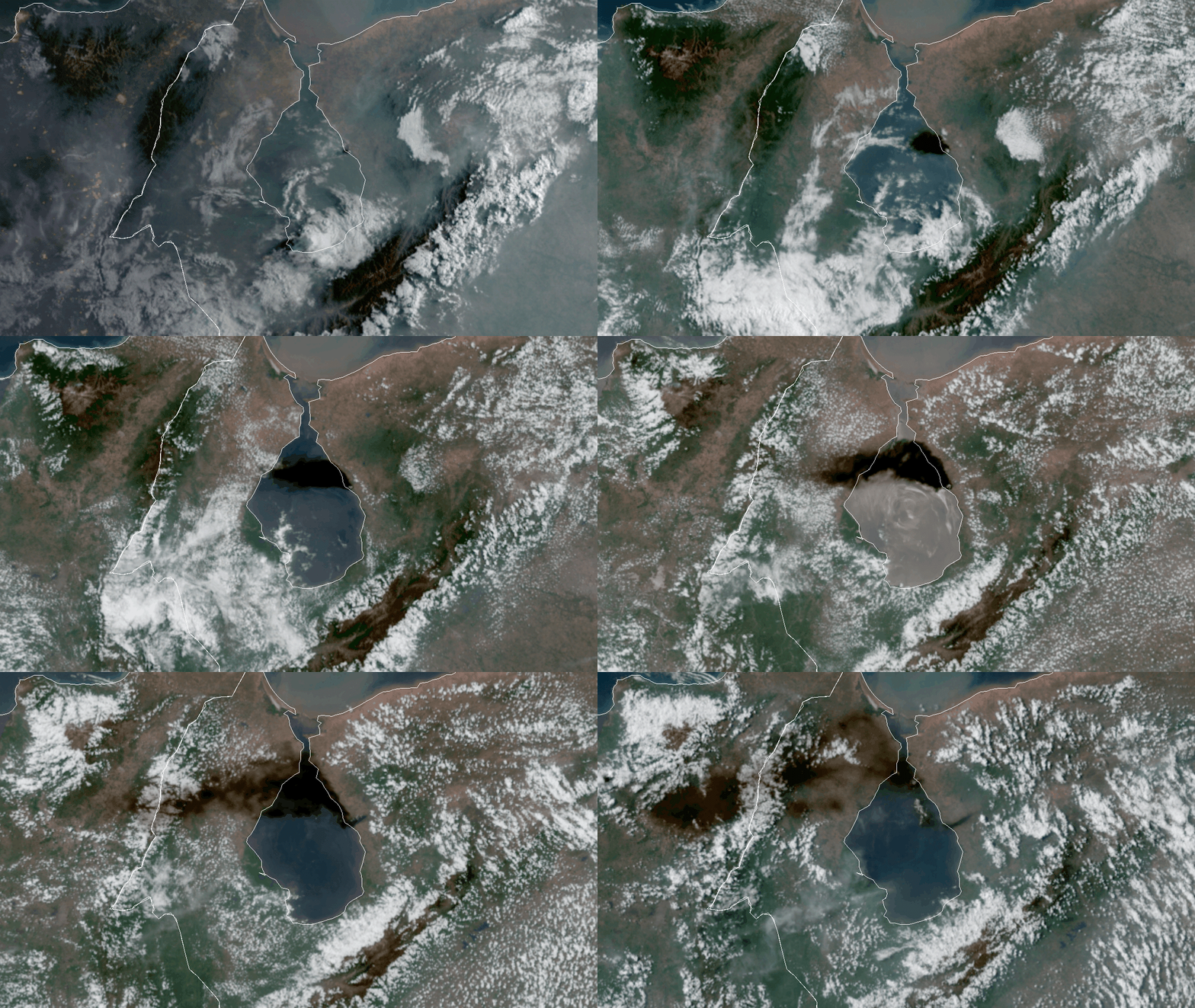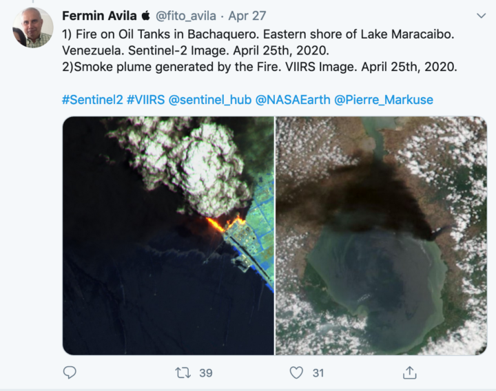
As noted in a recent Image of the Day (“A Fiery Month in Zulia”) satellites have detected lots of fire activity in western Venezuela in recent weeks. Just as we were finishing that story, a surprisingly large, dark smoke plume appeared in VIIRS and MODIS imagery. It bore little resemblance to the smaller, gray plumes that we had been watching. Forest and crops fires had caused the earlier plumes; the new black smoke was caused by a brush fire that had spread into a crude oil storage area, according to news reports.
The animation above shows the progression of the plume on the morning of April 25, 2020. The images were collected at 10 minute intervals by the Advanced Baseline Imager (ABI) on NOAA’s GOES-16 satellite. Sensors on other satellites caught glimpses of the short-lived plume as well, including the Multispectral Instrument (MSI) on the European Space Agency’s Sentinel-2 satellite and the Ozone Monitoring Instrument (OMI) on NASA’s Aura satellite.

With dozens of firefighters battling the blaze, it was extinguished by the next day. On April 26, 2020, there were no signs of smoke or active fires visible in MODIS and VIIRS images of that area.


