East Africa is experiencing one of its worst locust outbreaks in decades. The voracious insects are devouring thousands of hectares of farmland and forests, and threatening food security for millions across the region, which is already vulnerable to food shortages.

To help manage outbreaks, NASA scientists are developing tools to track locust breeding grounds and to assess crop damage. We previously reported on the satellite data used in these assessments, but researchers are also using ground-based observations from several local organizations and government offices. Such information is used to validate estimates of crop conditions made from satellite imagery and included in international crop forecasts.
“Our ground partners give monthly updates on crop conditions and major events like flooding and disease outbreaks,” said Catherine Nakalembe, a food security researcher with NASA SERVIR and NASA Harvest. “They help provide critical ground information when the remote sensing data are not sufficient.”
The following photos, taken by people in Uganda and Kenya, show some of the effects of the locust outbreak on farms.
Elgeyo Marakwet County, Kenya
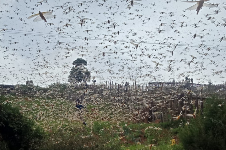
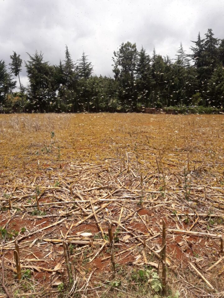
Kenya is experiencing its worst locust outbreak in 70 years. The image at the top of this page and the one below shows locusts (yellow) swarming a field in March 2020.

The images were taken by Gentrix Machenje. Machenje is a county officer who works with NASA SERVIR and provides information for Kenya’s National Crop Monitor.
Karamoja, Uganda
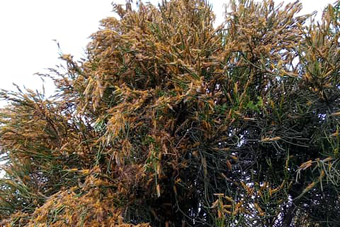
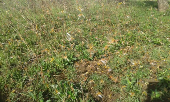
The photos below were taken in early April 2020 in the Karamoja region of northeast Uganda. Officials believe the locusts hatched from eggs laid a few weeks ago.

The images were taken by Evans Noble Opiolo, an agricultural officer in the Nakapiripirit District who also contributes to a Disaster Risk Financing Project for Uganda’s Office of the Prime Minister. Such officers are reporting on locust locations and are often present when ground-control operations, such as pesticide spraying, are in progress.


To learn more about NASA’s response to the 2020 locust outbreaks, read our recent article.
Tags: east africa, ground photography, locusts, outbreak


Si hace 70 anos esta region de Africa no se presenta esta plaga.yo monitoreo el clima y la calidad del aire todos los dias de estaregion.No sera producto de la alta contaminacion, puesto que los pinceles altos en No2-PM2.5-Aerosol y capa de Ozono al igual de altas temperaturas.creo yo que estos factores sumados a otros pudo originar esta plaga.
Good for tracking and strategic planning for future interventions. The system herein is appropriate to add up the government officials to produce representative mapping.
ayudar alos heridos siria israel