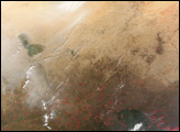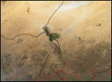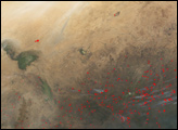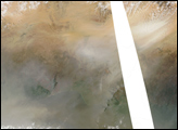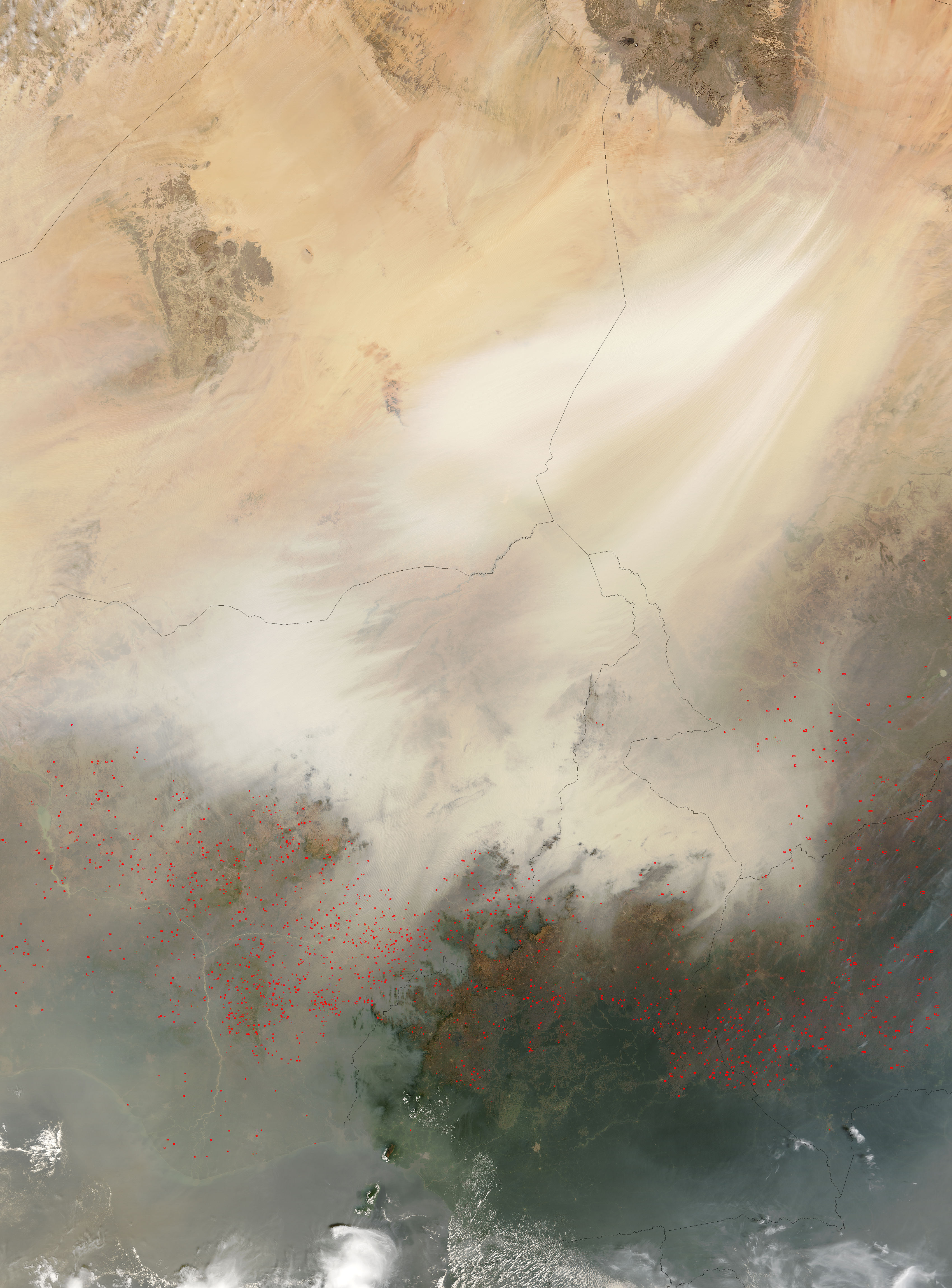
A dust storm in Central Africa that began in late December 2004 intensified in the first week of January 2005. In the southern Sahara Desert, a large low-lying area known as the Bodele Depression is one of the largest sources of wind-blown dust on Earth. In this image from the Moderate Resolution Imaging Spectroradiometer (MODIS) on NASA’s Terra satellite, captured on January 6, the thick cloud of dust begins in Chad (upper right) and spreads outward over neighboring countries.
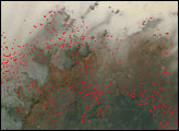
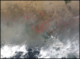
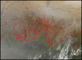
Along the southern edges of the cloud, smaller rivers of dust weave over the green landscapes of the Sahel and savannas in Nigeria, Cameroon, and the Central African Republic. In the bottom of the scene, an arc of fires spreads across those countries as well. The red dots show the locations where MODIS detected active fires. The widespread nature of the fires and the time of year suggest that these fires are being set intentionally for agricultural purposes. Though not necessarily immediately hazardous, such large-scale burning can have a strong impact on weather, climate, human health, and natural resources.
The high-resolution image provided above is 500 meters per pixel. The MODIS Rapid Response System provides this image at additional resolutions.
Image courtesy Jacques Descloitres, MODIS Rapid Response Team, NASA-Goddard Space Flight Center