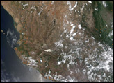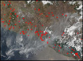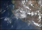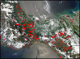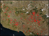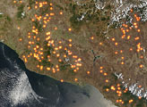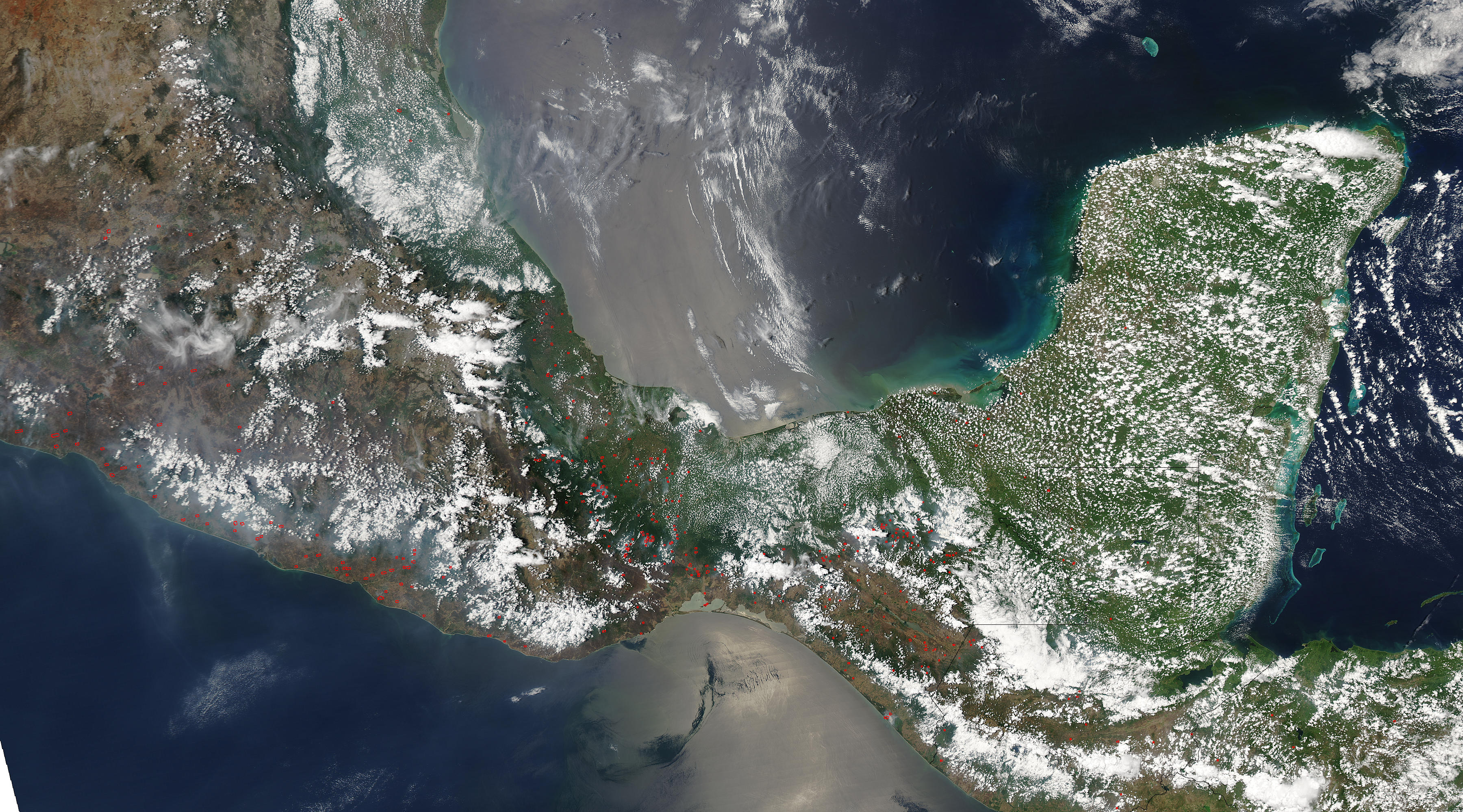
Dozens of fires, marked in red, were scattered across southern Mexico and Guatemala when the Moderate Resolution Imaging Spectroradiometer (MODIS) on NASA’s Aqua satellite flew over on May 11, 2004. Because the fires cover a broad region, and are not concentrated in one area, they were probably started for agricultural purposes as farmers clear land for planting. Widespread land use fires are common this time of year in Central America. Though not necessarily immediately hazardous, large-scale agricultural burning can have a strong impact on weather, climate, human health, and natural resources.
The high-resolution image provided above has a resolution of 500 meters per pixel. The image is available in additional resolutions.
NASA image courtesy the MODIS Rapid Response Team at GSFC