Global sea level rise has been accelerating in recent decades, according to a new study based on 25 years of NASA and European satellite data. This acceleration has been driven mainly by increased ice melting in Greenland and Antarctica, and it has the potential to double the total sea level rise projected by 2100, according to lead author Steve Nerem, a scientist at the Cooperative Institute for Research in Environmental Sciences (CIRES) and the University of Colorado.
If things continue to change at the observed pace, sea level will rise 65 centimeters (26 inches) by 2100, enough to cause significant problems for coastal cities. The team—comprised of scientists from NASA’s Goddard Space Flight Center, the University of Colorado, the University of South Florida, and Old Dominion University—recently published their work in the journal Proceedings of the National Academy of Sciences.
“This is almost certainly a conservative estimate,” said Nerem, who is a member of NASA’s Sea Level Change team. “Our extrapolation assumes that sea level continues to change in the future as it has over the last 25 years. Given the large changes we are seeing in the ice sheets today, that is not likely.”
Rising concentrations of greenhouse gases in Earth’s atmosphere increase the temperature of air and water, which causes sea level to rise in two ways. First, warmer water expands, and this “thermal expansion” of the ocean has contributed about half of the 7 centimeters (2.8 inches) of global mean sea level rise that has been observed over the past 25 years, Nerem said. Second, the water from melting land ice flows into the ocean, which also increases sea level around the world.
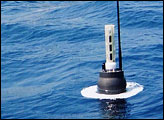
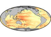
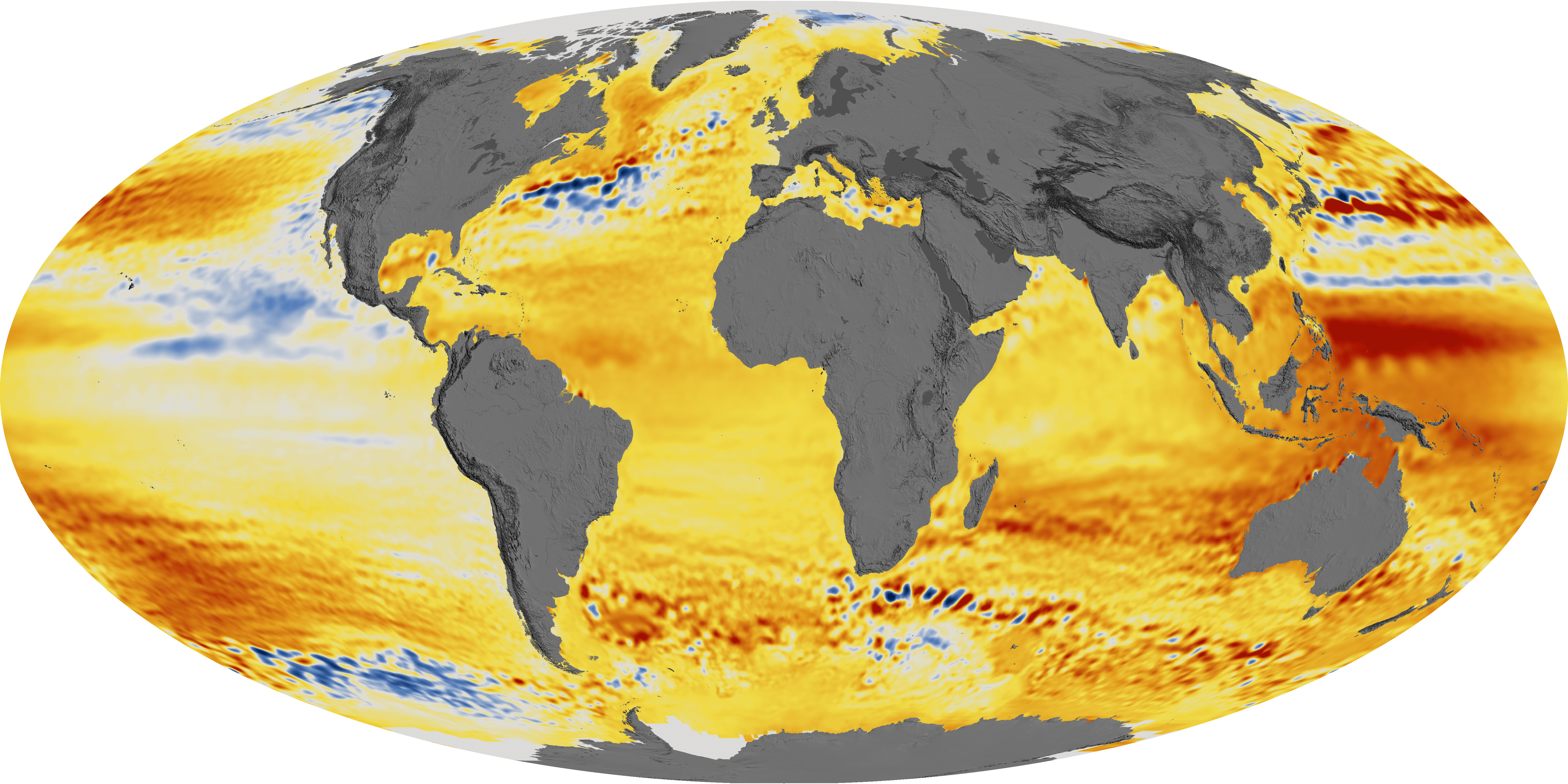
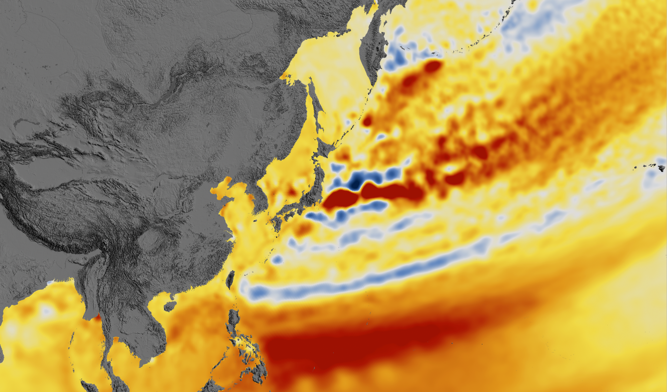
The rate of sea level rise has risen from about 2.5 millimeters (0.1 inch) per year in the 1990s to about 3.4 millimeters (0.13 inches) per year today. These increases have been measured by satellite altimeters since 1992, including the TOPEX/Poseidon, Jason-1, Jason-2, and Jason-3 missions, which have been jointly managed by NASA, France’s Centre national d'etudes spatiales (CNES), the European Organisation for the Exploitation of Meteorological Satellites (EUMETSAT), and the U.S. National Oceanic and Atmospheric Administration (NOAA). The maps on this page depict the changes in sea level observed by those satellites between 1992 and 2014.
“The TOPEX/Poseidon/Jason altimetry missions have been essentially providing the equivalent of a global network of nearly half a million accurate tide gauges, providing sea surface height information every 10 days for over 25 years,” said Brian Beckley of NASA Goddard. “As this climate data record approaches three decades, the fingerprints of Greenland and Antarctic land-based ice loss are now being revealed in the global and regional mean sea level estimates.”
Even with a 25-year data record, it can be challenging to detect acceleration. Episodes like volcanic eruptions can create variability; for instance, the eruption of Mount Pinatubo in 1991 decreased global mean sea level just before the TOPEX/Poseidon satellite launch. In addition, global sea level can fluctuate due to climate patterns such as El Niño and La Niña, which influence ocean temperature and global precipitation patterns.
Nerem and the research team used climate models and other data sets to account for the volcanic effects and to determine the El Niño /La Niña effects, ultimately uncovering the underlying rate and acceleration of sea level rise. They also compared their results to tide gauges on Earth’s surface. “Tide gauge measurements are essential for determining the uncertainty in the global mean sea level acceleration estimate,” said co-author Gary Mitchum of the University of South Florida. “They provide the only assessments of the satellite instruments from the ground.”
In addition to making direct sea level observations from space, NASA has been conducting airborne and ship-based campaigns such as Operation IceBridge and Oceans Melting Greenland to gather measurements of ice sheets and glaciers. In 2018, NASA will launch two new satellite missions that will be critical to improving future sea level projections: the Gravity Recovery and Climate Experiment Follow-On (GRACE-FO) mission, a partnership with GeoForschungsZentrum (Germany) and Ice, Cloud, and land Elevation Satellite-2 (ICESat-2).
NASA Scientific Visualization Studio images by Kel Elkins, using data from JASON-1, JASON-2, and TOPEX/Poseidon. Story by Katie Weeman, CIRES, and Patrick Lynch, NASA GSFC. Edited by Mike Carlowicz.