 |
||
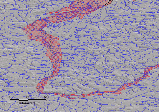
| This map shows the extent of flooding (red shading) on the Pechora River, Russia,
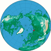
on June 14, 1998. The red dot on the map at right shows the location of the flooding. (Map by E. Anderson and R. Brakenridge, Dartmouth Flood Observatory)
|
 |
|
alert message
