Skip to feedback

Images related to Taking a Measure of Sea Level Rise: Gravimetry

Taking a Measure of Sea Level Rise: Ice Height
Image

Taking a Measure of Sea Level Rise: Ice Height

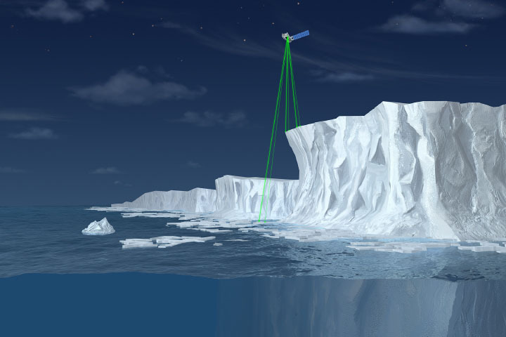
Scientists project ice losses from the Greenland and Antarctic Ice Sheets will play a large part in sea level rise in the upcoming century.

Published Nov 5, 2020

Image of the Day Unique Imagery Snow and Ice Remote Sensing

Sea Level Rise is Accelerating
Image

Sea Level Rise is Accelerating

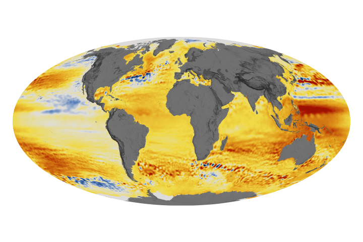
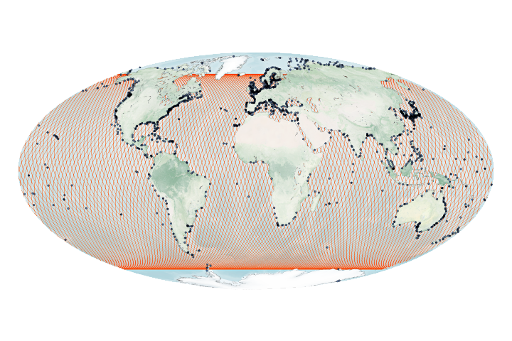
The acceleration has been driven mainly by increased ice melting in Greenland and Antarctica, and it has the potential to double the total sea level rise projected by 2100.

Published Feb 20, 2018

Image of the Day Water Human Presence

The Rising Sea Level
Image

The Rising Sea Level

Published Jun 9, 2006

Image of the Day Water

NASA’s Front Porch View of Rising Seas
Image

NASA’s Front Porch View of Rising Seas

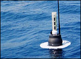
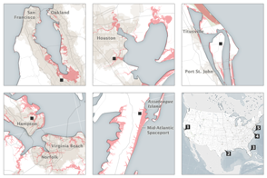
The nation’s problem is also NASA’s problem: Half to two-thirds of our space infrastructure and assets stand within 5 meters of sea level.

Published Sep 8, 2015

Image of the Day Water

The Waters are Rising on NASA’s Shores
Image

The Waters are Rising on NASA’s Shores

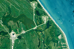
Global sea level rise poses very local challenges for the many NASA centers situated on U.S. coasts.

Published Sep 30, 2015

Image of the Day Land Water Human Presence Remote Sensing

Taking a Measure of Sea Level Rise: Ocean Altimetry
Image

Taking a Measure of Sea Level Rise: Ocean Altimetry

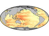
The ocean is lumpy and sloshes around its basins for natural reasons. But it is also rising, slowly and steadily.

Published Nov 5, 2020

Image of the Day Water Unique Imagery Remote Sensing