Taking a Measure of Sea Level Rise

Sea level around the world has been rising for reasons both natural and human-caused. This series of articles explores how NASA and other science institutions measure and monitor these changes.
Taking a Measure of Sea Level Rise: Ocean Altimetry
Image

Taking a Measure of Sea Level Rise: Ocean Altimetry

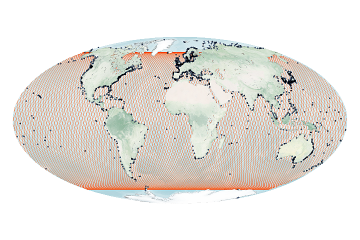
The ocean is lumpy and sloshes around its basins for natural reasons. But it is also rising, slowly and steadily.

Published Nov 5, 2020

Image of the Day Water Unique Imagery Remote Sensing

Taking a Measure of Sea Level Rise: Land Motion
Image

Taking a Measure of Sea Level Rise: Land Motion

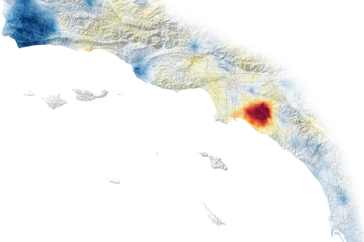
Earth’s surface may seem motionless most of the time, but an array of measurements show that natural and human-caused processes cause coastal land to rise and fall.

Published Nov 5, 2020

Image of the Day Water Unique Imagery Snow and Ice Remote Sensing

Taking a Measure of Sea Level Rise: Ice Height
Image

Taking a Measure of Sea Level Rise: Ice Height

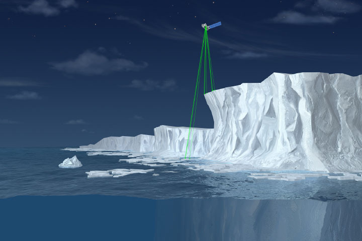
Scientists project ice losses from the Greenland and Antarctic Ice Sheets will play a large part in sea level rise in the upcoming century.

Published Nov 5, 2020

Image of the Day Unique Imagery Snow and Ice Remote Sensing

Taking a Measure of Sea Level Rise: Gravimetry
Image

Taking a Measure of Sea Level Rise: Gravimetry

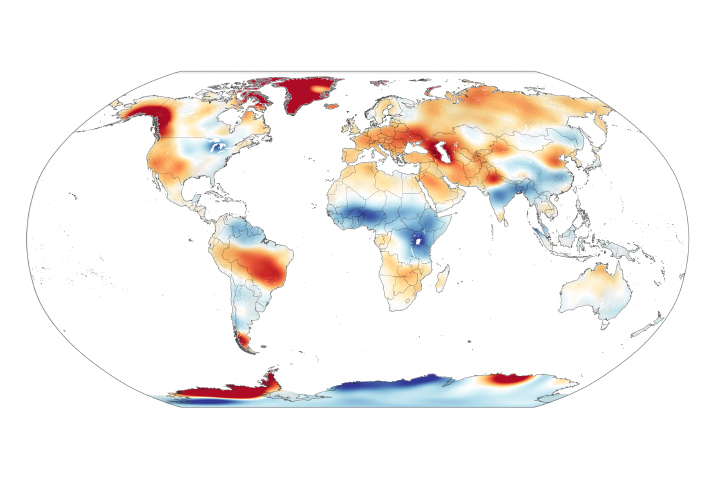
Scientists measure ice’s gravitational pull on a pair of satellites, allowing them to estimate ice loss and its contribution to sea level rise.

Published Nov 5, 2020

Image of the Day Unique Imagery Snow and Ice Remote Sensing