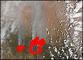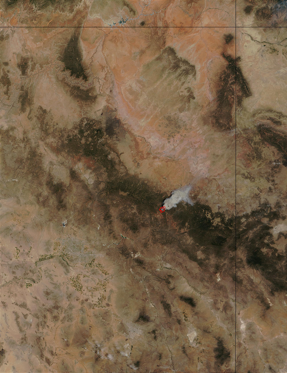
The Rodeo Fire in east-central Arizona is burning within the Fort Apache Indian Reservation about 100 miles east-northeast of Phoenix (seen southwest of the fire as a large area of grayish pixels surrounded by scattered spots of dark green vegetation). The fire was about 48,000 acres as of June 20, 2002, and was 0 percent contained. This image from the Moderate Resolution Imaging Spectroradiometer (MODIS) on the Terra satellite was captured on June 19, 2002.
Please note that the high-resolution scene provided here is 500 meters per pixel. For a copy of the scene at the sensor's fullest resolution, visit the MODIS Rapid Response Image Gallery.
Image courtesy Jacques Descloitres, MODIS Land Rapid Response Team at NASA
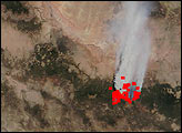
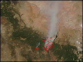
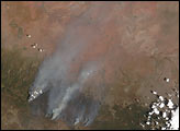
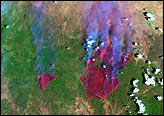
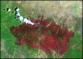
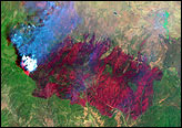
The Rodeo and Chediski Fires in east-central Arizona are burning within the Fort Apache Indian Reservation about 100 miles east-northeast of Phoenix.
alert message