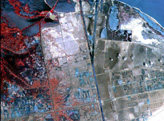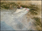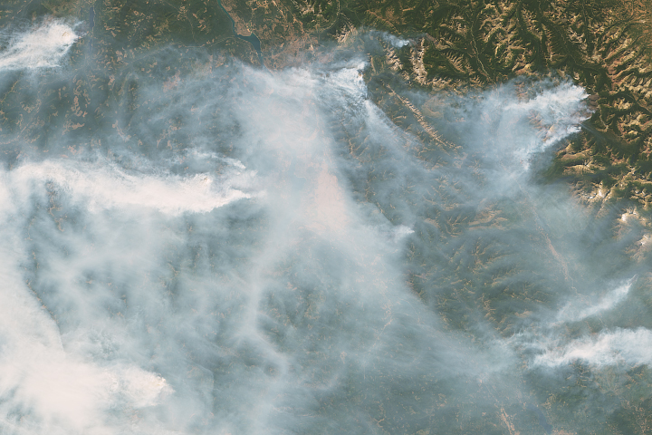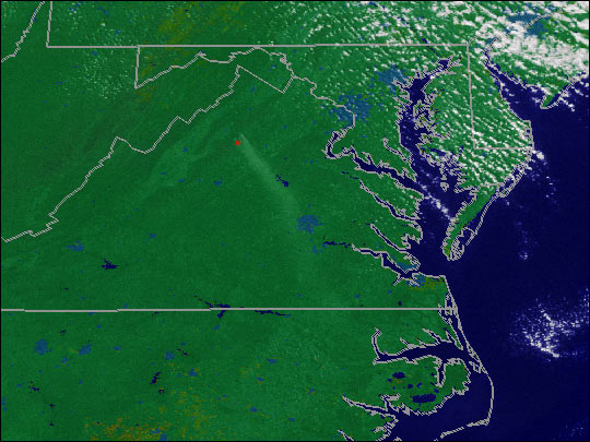
By November 9, 2000, the two fires in Shenandoah National Park near Old Rag Mountain and the Pinnacles Picnic Area had combined into one fire that consumed 20,000 acres. Cool temperature and moist air helped firefighters contain the fire. Throughout the Southeast, fires in the fall of 2000 burned over 120,000 acres.
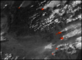
This animation shows smoke from the Shenandoah fire on November 5, 2000. The red pixels show the areas that were actively burning. The data were acquired by one of NOAA’s Geostationary Operational Environmental Satellites (GOES). Current GOES data and images of fires, hurricanes, tornadoes, and other severe weather are provided by NASA’s Remote Sensing Data project.
Image and animation by Marit Jentoft-Nilsen, NASA GSFC