October 9, 2014JPEG
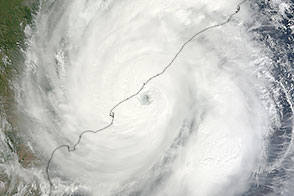
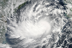
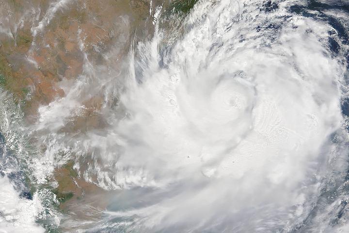
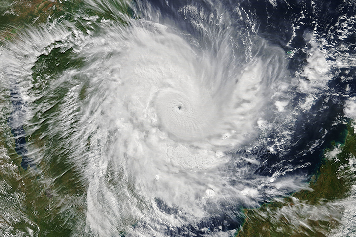
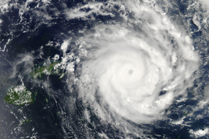
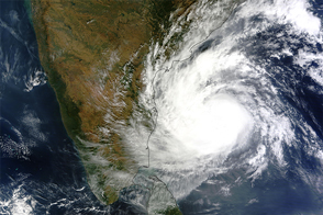
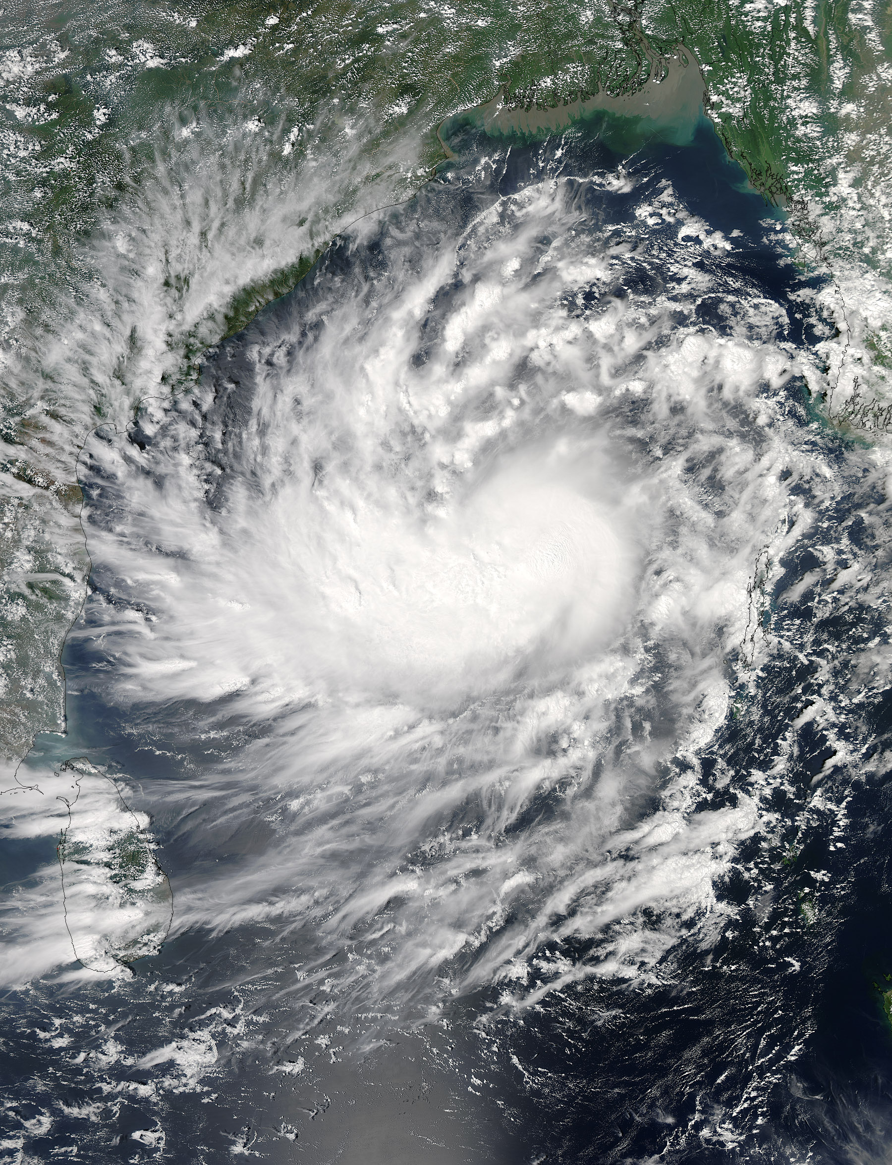
The Moderate Resolution Imaging Spectroradiometer (MODIS) on NASA's Aqua satellite acquired this natural-color image of Cyclone Hudhud at 1:15 p.m. local time (0745 Universal Time) on October 9, 2014. The U.S. Joint Typhoon Warning Center forecasted that the storm would intensify in the Bay of Bengal before making landfall in India on October 12.
Read more about Hudhud on the NASA Hurricane page.
NASA image courtesy Jeff Schmaltz, LANCE MODIS Rapid Response Team at NASA GSFC. Caption by Mike Carlowicz.
In early October 2014, the storm crossed the Andaman Islands and the Bay of Bengal before possible landfall in India.
Atmosphere Water Severe Storms
In early October 2014, the storm crossed the Bay of Bengal for possible landfall in India.
The storm, currently spinning over the Bay of Bengal, is advancing toward the eastern coast of India.
Atmosphere Land Water Severe Storms Human Presence Remote Sensing
The tropical cyclone quickly intensified over 36 hours to arrive as a category 4 storm.
Atmosphere Land Water Severe Storms Human Presence Remote Sensing
The well-formed storm was skirting Fiji and moving towards Tonga when this image was taken on January 9, 2014.
The tropical cyclone churned in the Northern Indian Ocean in early December 2016.
alert message