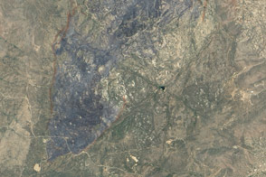
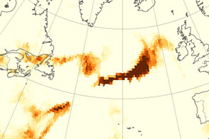
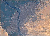
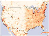
The Earth Observatory has published its last Image of the Day on this website. Please join us on our new home at science.nasa.gov/earth/earth-observatory.
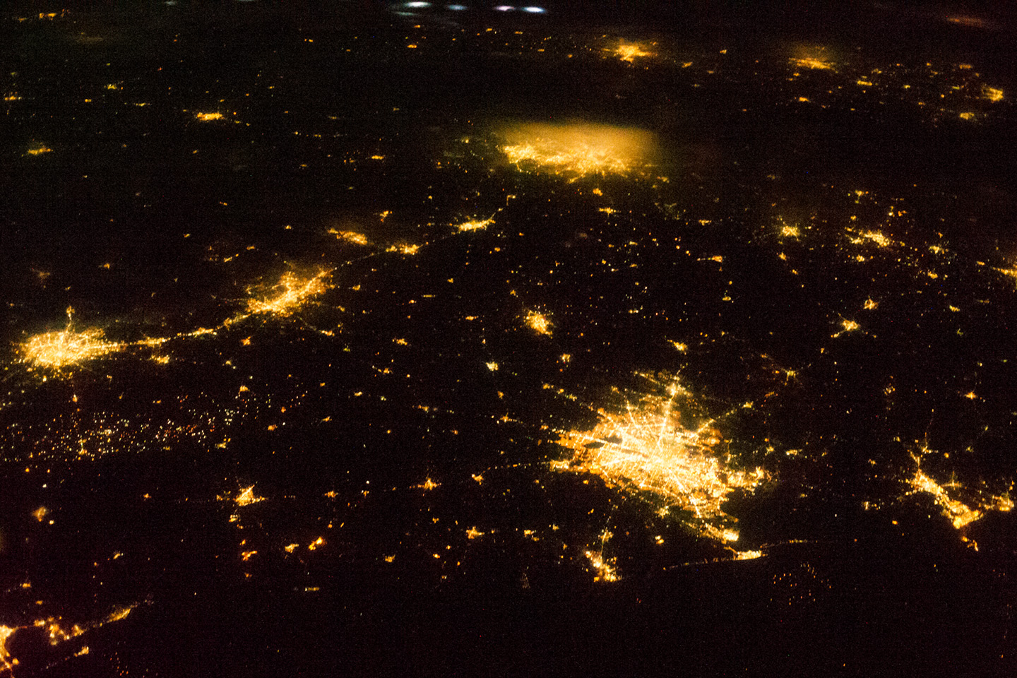
This striking astronaut photograph taken from the International Space Station (ISS) shows the four largest cities of Texas (by population, using 2010 US Census estimates). The extent of the metropolitan areas is readily visible at night due to city and roadway lighting networks.
The largest metro area, Dallas-Fort Worth-Arlington (population over 6.5 million), is visible at image top center. The lighting pattern appears less distinct due to local cloud cover. Four brightly illuminated cloud tops to the northwest (image top center) indicate thunderstorm activity over neighboring Oklahoma.
Coming in a close second, with a population of approximately 6.1 million, the Houston-Sugar Land-Baytown metro area is located along the Gulf of Mexico coastline. To the east, near the border with Louisiana, the metropolitan area of Beaumont-Port Arthur ranks tenth (population 400,000) in Texas.
Moving inland, the San Antonio-New Braunfels metro area has the third largest population (over 2 million). A band of lighting visible to the southeast of San Antonio marks well pads associated with the Eagle Ford Formation (also known as the Eagle Ford Shale). This geologic formation is an important producer of both oil and natural gas.
The capital city of Texas is included within the Austin-Round Rock-San Marcos metro area to the northeast of San Antonio. It ranks fourth in terms of population with more than 1.7 million. The greater Austin metro area is located in central Texas between the Hill Country to the west and the coastal plain to the east-southeast.
This image was taken with a relatively high viewing angle, as opposed to looking straight down from the ISS towards the Earth’s surface, as is typical for most orbital remote sensing instruments. Oblique viewing angles tend to change the apparent distance between objects. For a sense of scale, the actual distance between central Houston and Dallas-Fort Worth is approximately 367 kilometers (228 miles).
Astronaut photograph ISS036-E-9405 was acquired on June 17, 2013, with a Nikon D3S digital camera using a 50 millimeter lens, and is provided by the ISS Crew Earth Observations experiment and Image Science & Analysis Laboratory, Johnson Space Center. The image was taken by the Expedition 36 crew. It has been cropped and enhanced to improve contrast, and lens artifacts have been removed. The International Space Station Program supports the laboratory as part of the ISS National Lab to help astronauts take pictures of Earth that will be of the greatest value to scientists and the public, and to make those images freely available on the Internet. Additional images taken by astronauts and cosmonauts can be viewed at the NASA/JSC Gateway to Astronaut Photography of Earth. Caption by William L. Stefanov, Jacobs/JETS at NASA-JSC.