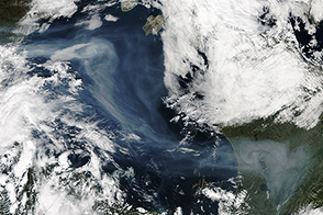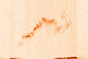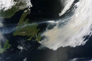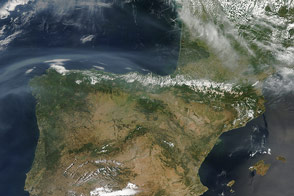

On June 26, 2013, the Moderate Resolution Imaging Spectroradiometer (MODIS) on NASA’s Terra satellite captured this image of wildfires just west of Hudson Bay, in central Canada’s Manitoba Province. Red outlines indicate hot spots where MODIS detected unusually warm surface temperatures associated with fire. The image is centered at 97° West longitude and 58.5° North latitude.
NASA image by Jeff Schmaltz, LANCE/EOSDIS Rapid Response. Caption by Mike Carlowicz.
Fires in Canada in 2013.


