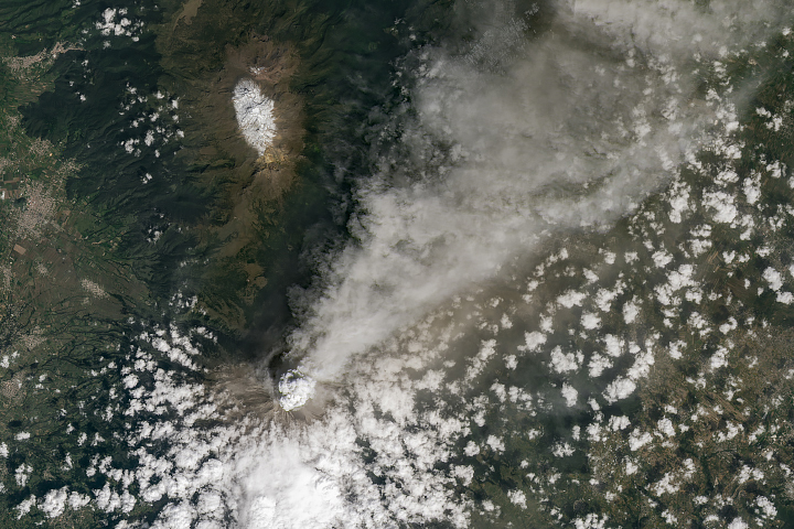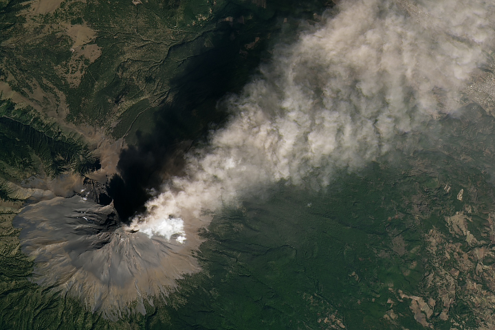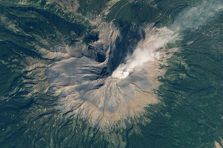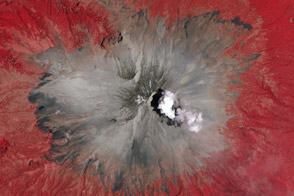
Located about 70 kilometers (40 miles) southeast of Mexico City, Popocatépetl (pronounced poh-poh-kah-TEH-peh-til) is one of Mexico’s most active volcanoes. The towering stratovolcano has been erupting since January 2005, with near constant venting from fumaroles, punctuated by minor steam, gas, and ash emissions.
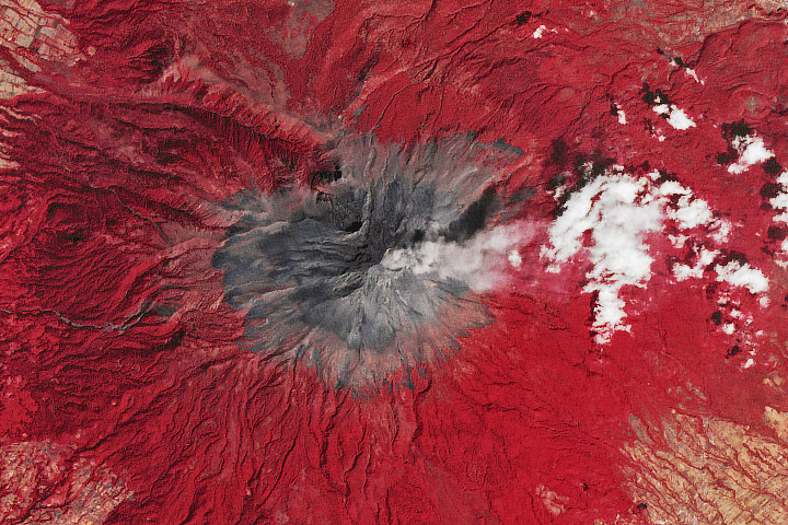
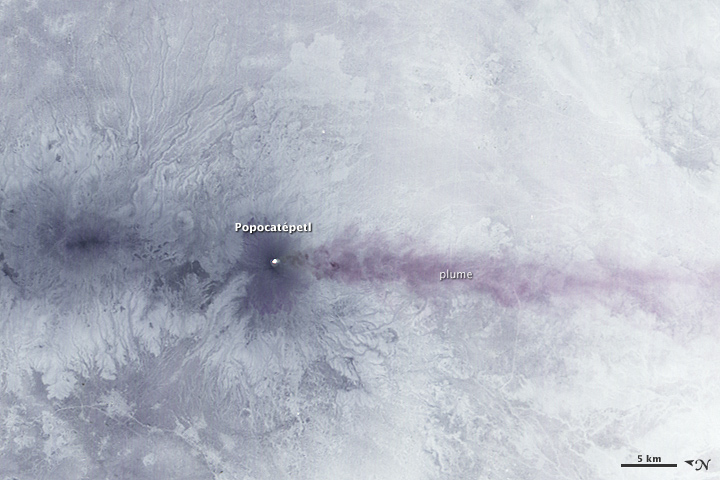
Activity began to pick up significantly in mid-April 2012. The Advanced Spaceborne Thermal Emission and Reflection Radiometer (ASTER) instrument on NASA’s Terra satellite captured this nighttime view of the eruption at 10:53 p.m. local time (04:53 Universal Time) on April 25, 2012.
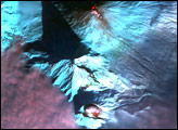
ASTER is capable of measuring electromagnetic radiation from multiple parts of the electromagnetic spectrum. This image is thermal infrared and shows how much heat was emanating from different parts of the volcano. The hottest areas are the brightest; cooler areas are darker. The white dot in the center of the image is a hotspot within Popocatépetl’s summit crater. The upper reaches of the mountain were significantly cooler than the surrounding landscape. Popocatépetl’s plume, shown blowing south, was also cool.
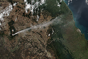
A status report released on April 25 by the Mexican National Center for Disaster Prevention (CENAPRED) noted the plume was comprised of ash and gas and drifting 1.5 kilometers (0.9 miles) above the surface. There have been reports of ash falling in Atlixco, a small city southeast of the volcano.
NASA Earth Observatory image by Jesse Allen, using data from NASA/GSFC/METI/ERSDAC/JAROS, and U.S./Japan ASTER Science Team. Caption by Adam Voiland.
alert message