The Earth Observatory has published its last Image of the Day on this website. Please join us on our new home at science.nasa.gov/earth/earth-observatory.
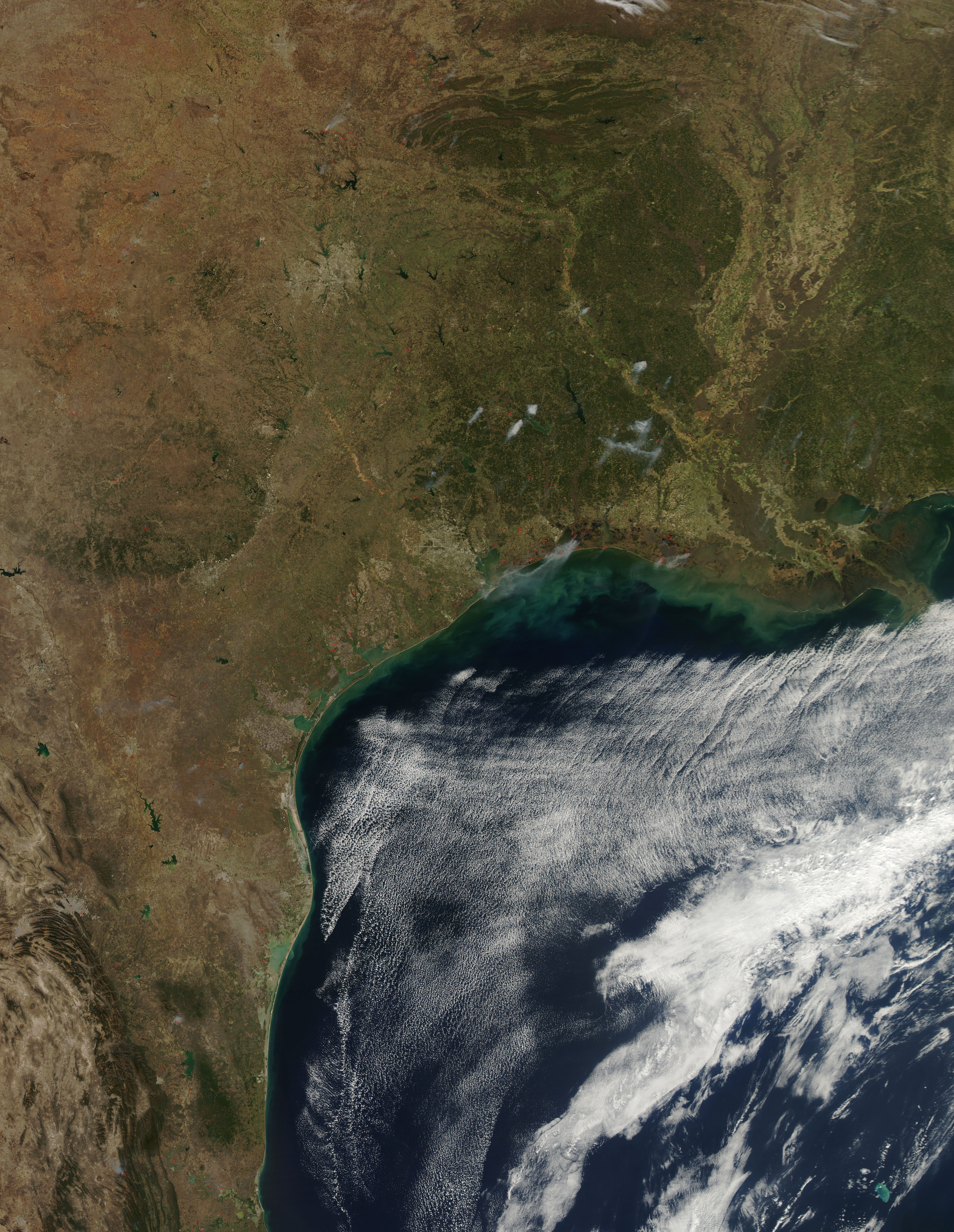
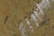
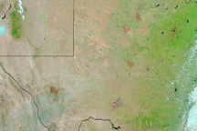
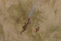
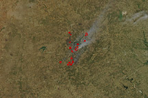
Days after destructive wildfires tore across the Texas Panhandle, southeastern Texas became the scene of widespread fire. On March 1, 2011, the Moderate Resolution Imaging Spectroradiometer (MODIS) on NASA’s Aqua satellite detected numerous fires, marked in red, burning in southern Texas and Louisiana.
The fires are burning in dark green wooded areas, producing thick plumes of smoke. The fires are much smaller than the large fires that burned in the Panhandle on February 27. Texas Forest Service reported 13 wildfires that burned 288 acres on March 1—a small number compared to the 130,000 acres that burned in previous days. However, fires burning in wood generally produce more smoke and are warmer than grass fires, making them far easier to detect from space. By contrast, MODIS detected only a few of the large, fast-burning grass fires that destroyed homes in northern Texas on February 27.
Thanks to warm, dry, and windy weather, the risk of fire was high in southeast Texas on March 1, said the Texas Forest Service. 146 counties issued burn bans for the day. Between February 21 and February 28, the Texas Forest Service fought 71 fires that burned 136,699 acres.
NASA image courtesy Jeff Schmaltz, MODIS Rapid Response Team at NASA GSFC. Caption by Holli Riebeek.