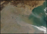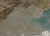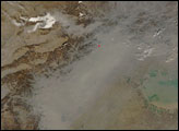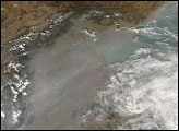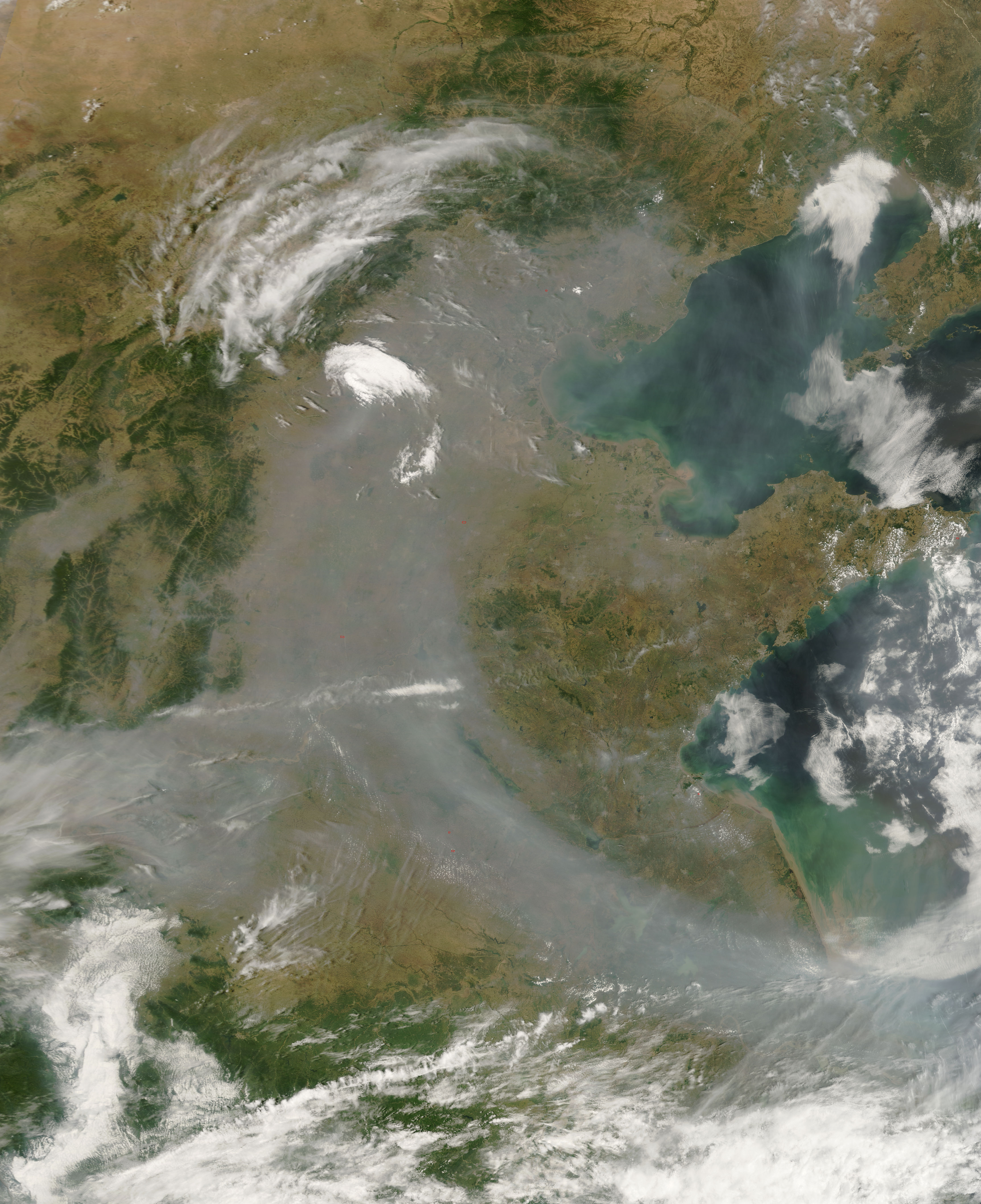
Haze formed an arc over eastern China on June 25, 2007. The Moderate Resolution Imaging Spectroradiometer (MODIS) flying on NASA’s Terra satellite took this picture the same day. In this image, dingy gray haze sweeps inland from the ocean, the southern tip near the Yellow Sea, and the northern tip near Bo Hai. As in an earlier image of this region, the haze clings primarily to low-lying areas, while avoiding the Taihang Shan (Mountains) in the west. Some clouds, however, do collect over the mountains, as well as in the south.
NASA image courtesy the MODIS Rapid Response Team at NASA GSFC. The Rapid Response Team provides daily images of this region.
alert message