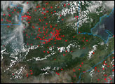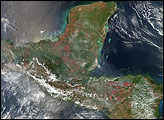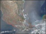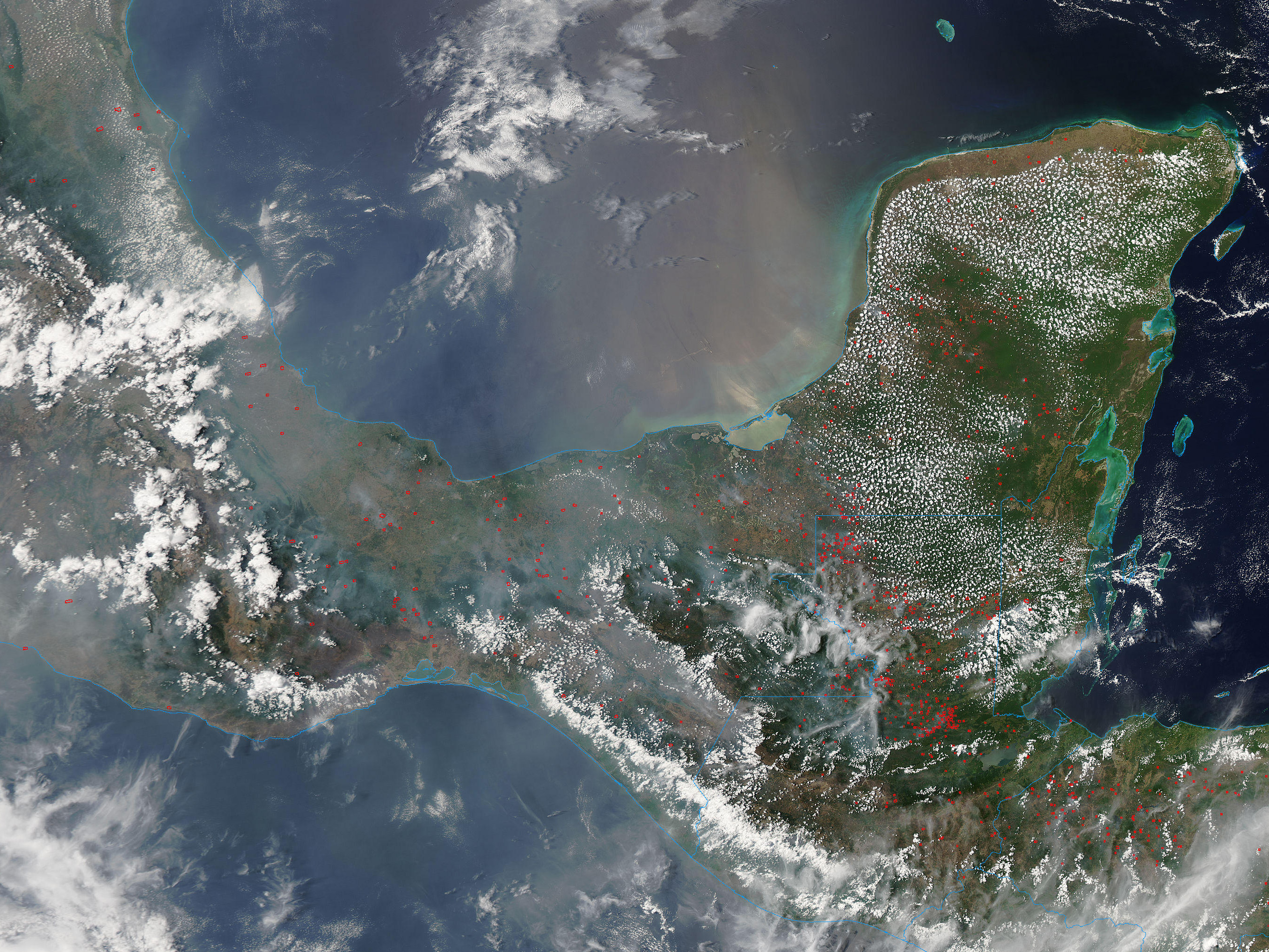
Fires and smoke were widespread across southern Mexico and northern Central America in mid-May 2007. This image from the Moderate Resolution Imaging Spectroradiometer (MODIS) on NASA’s Aqua satellite shows places where the sensor detected actively burning fires on May 22 marked in red. Part of the washed-out appearance of the water in the eastern part of Campeche Bay is from sunglint, or glare from sunlight, but there is also smoke spreading both north and south of the isthmus. Both intentional agricultural fires and accidental and natural wildfires occur in this part of the world in Northern Hemisphere winter and spring. The rainy season usually begins in late May to early June, bringing fire season to a close.
The large image provided above has a spatial resolution (level of detail) of 500 meters per pixel. The MODIS Rapid Response Team provides twice-daily images of Central America and Mexico in additional resolutions and formats.
NASA image courtesy the MODIS Rapid Response Team, Goddard Space Flight Center
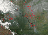
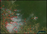
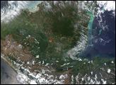
Fires burned off and on throughout southern Mexico and northern Central America in April and May 2007, during the region's annual dry season. This image from the Moderate Resolution Imaging Spectroradiometer on the Aqua satellite on May 22 shows fires and smoke over the area.