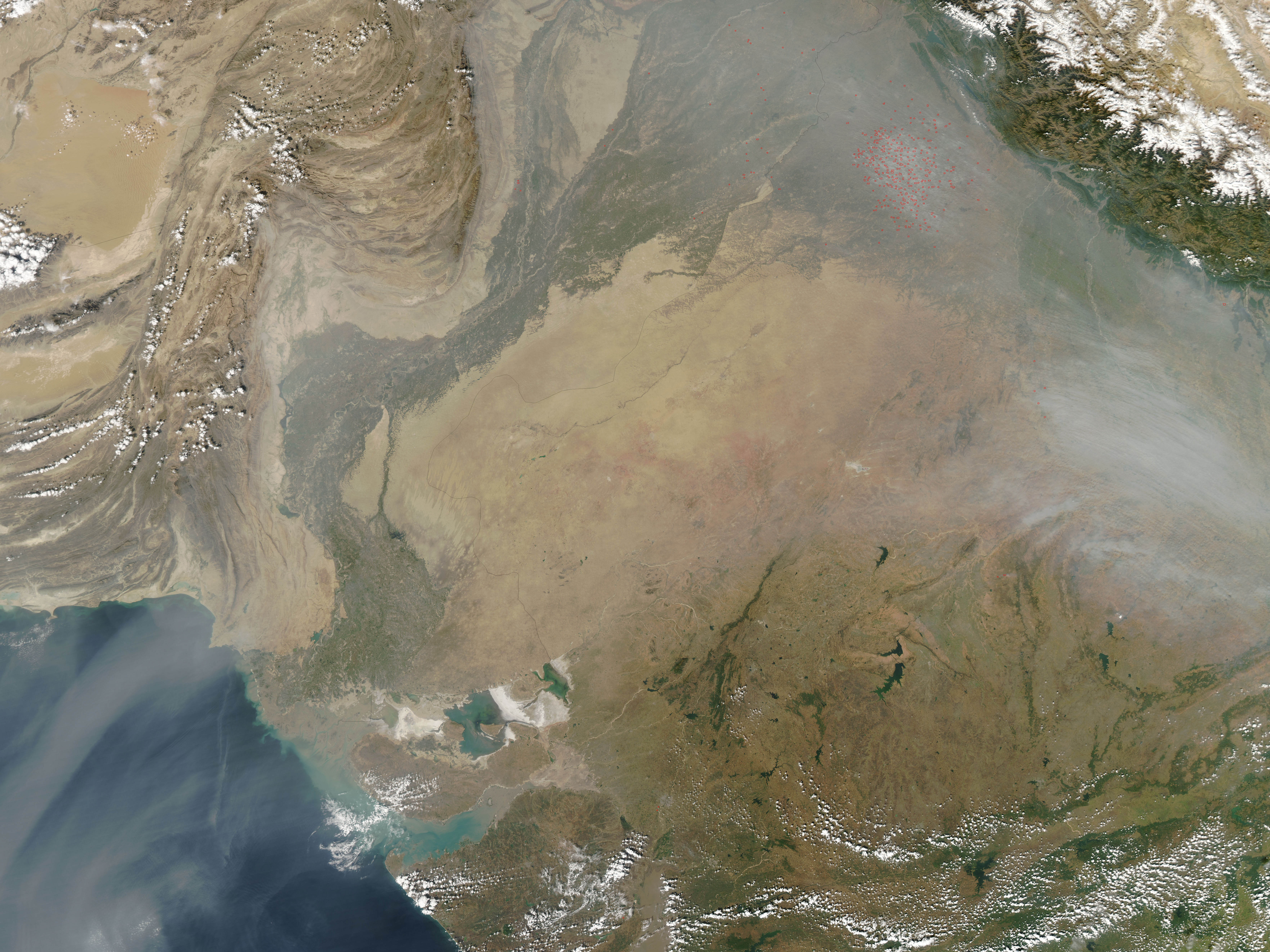
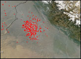
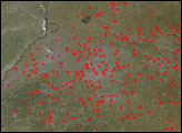
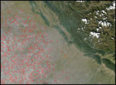
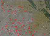
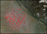
Each year in Northern Hemisphere fall, the fertile agricultural plains at the foothills of the Himalaya Mountains in northwest India come alive with scores of seasonal agricultural fires. This image was captured by the Moderate Resolution Imaging Spectroradiometer (MODIS) on NASA’s Aqua satellite on November 5, 2006. This region, which includes the state of Punjab, is India’s primary food-grain-producing region. Major crops include wheat and rice. The fires are probably for clearing fields of the stubble from harvested crops. Although they are not necessarily immediately hazardous, such wide-spread fires can have a strong impact on weather, climate, human health, and natural resources. The smoke form these fires, perhaps mingled with urban pollution and dust, spreads southeast at the base of the mountains, but also southwest down the Indus River Valley and out over the Arabian Sea. The plume of haze is visible in the large version of the image stretching out over the blue water of the sea.
The high-resolution image provided above has a spatial resolution of 250 meters per pixel. The MODIS Rapid Response System provides this image at additional resolutions.NASA image by Jeff Schmaltz, MODIS Rapid Response Team, Goddard Space Flight Center.
alert message


