The Earth Observatory has published its last Image of the Day on this website. Please join us on our new home at science.nasa.gov/earth/earth-observatory.
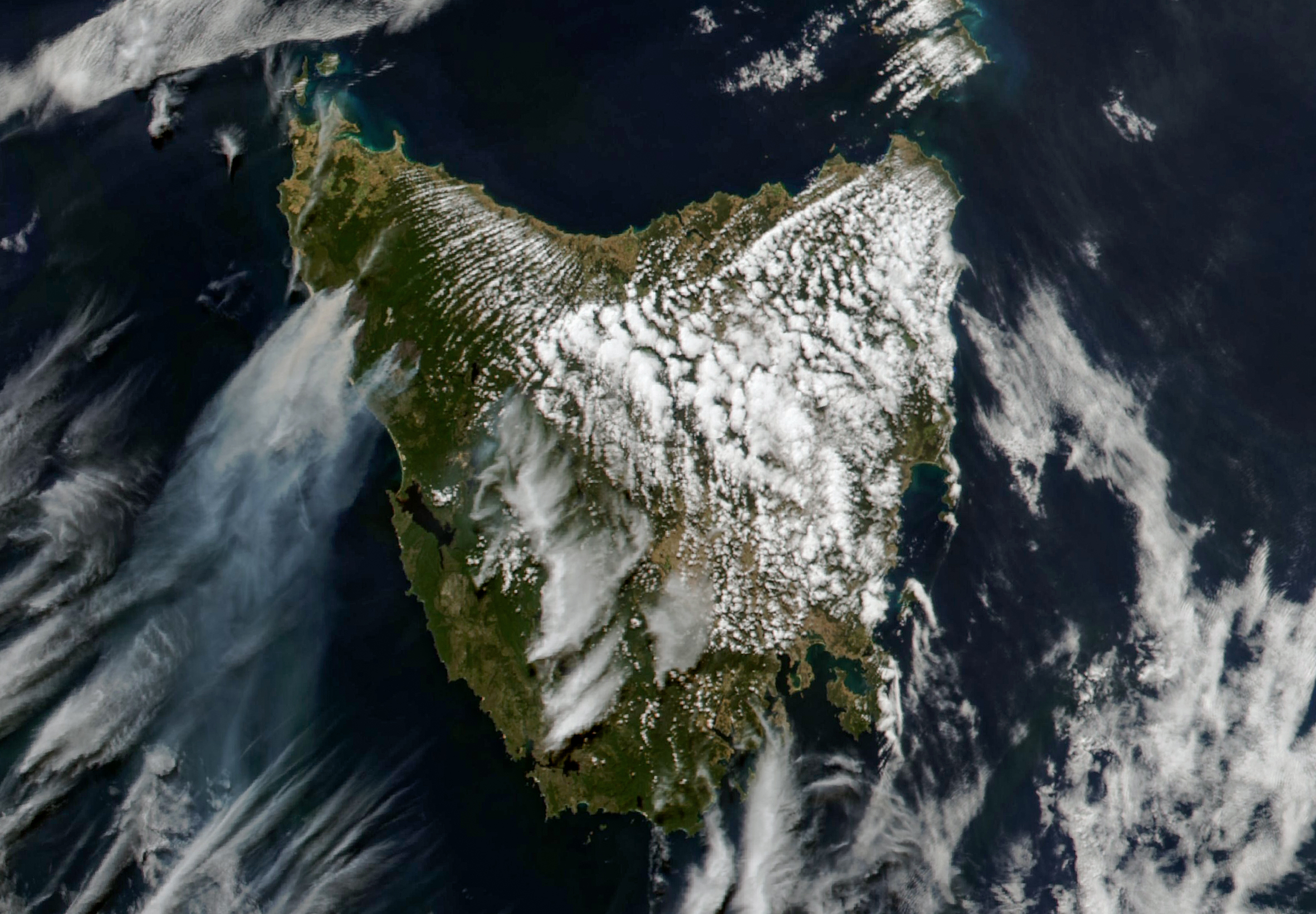
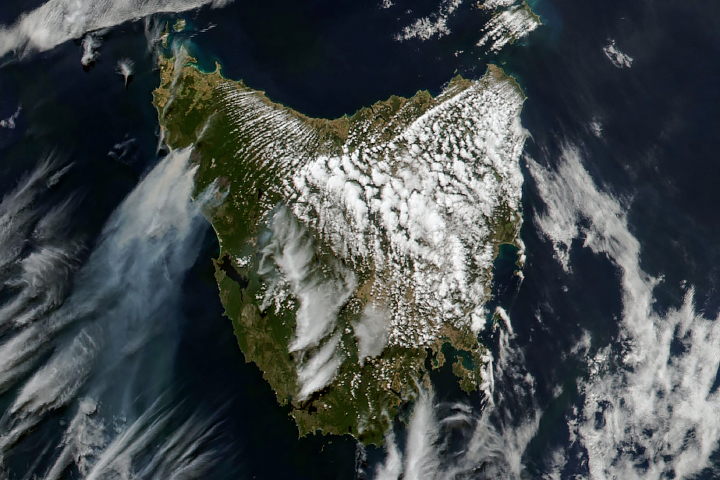
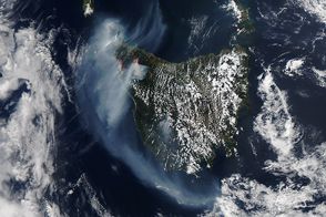
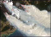
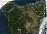
In early February 2025, bushfires ignited in northwestern Tasmania, where they have continued to burn on the island for more than a week amid windy, warm, and dry conditions.
Smoke from the fires is visible in this image, acquired at about 4 p.m. local time (05:00 Universal Time) on February 12, 2025, by the MODIS (Moderate Resolution Imaging Spectroradiometer) instrument on NASA’s Aqua satellite.
Starting on February 3, lightning strikes from dry thunderstorms ignited multiple fires in the state’s North West region, according to news reports. By February 12, more than a dozen fires had burned around 50,000 hectares (190 square miles).
An emergency warning, updated on February 13 by the Tasmanian government, indicated that one of the fires was progressing toward Sandy Cape, a popular spot for beach camping, and was expected to be “uncontrollable, unpredictable, and fast-moving.” (Note that Sandy Cape is covered with smoke in this view.)
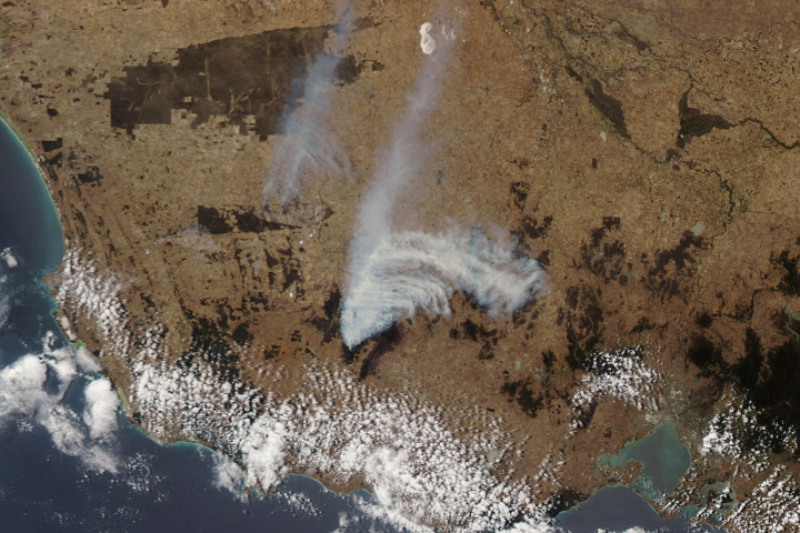
Fire was also approaching the town of Corinna, where a “watch and act” warning remained in effect on February 13. Beekeepers have already abandoned hives near the town, according to news reports, where leatherwood trees supply nectar for bees that support much of the region’s honey industry.
According to a heatwave warning from Australia’s Bureau of Meteorology (BoM), much of the state’s west coast saw severe heatwave conditions on several days during the week of February 10. The region has also been exceptionally dry. For example, the past 12-month period has been the driest on record (since 1900) along the coastal areas near Sandy Cape.
Forecasts called for damaging winds with gusts of up to 90 kilometers (55 miles) per hour ahead of an approaching cold front. Cooler, wetter weather was expected toward the end of the week.
NASA Earth Observatory image by Michala Garrison, using MODIS data from NASA EOSDIS LANCE and GIBS/Worldview. Story by Kathryn Hansen.