The Earth Observatory has published its last Image of the Day on this website. Please join us on our new home at science.nasa.gov/earth/earth-observatory.
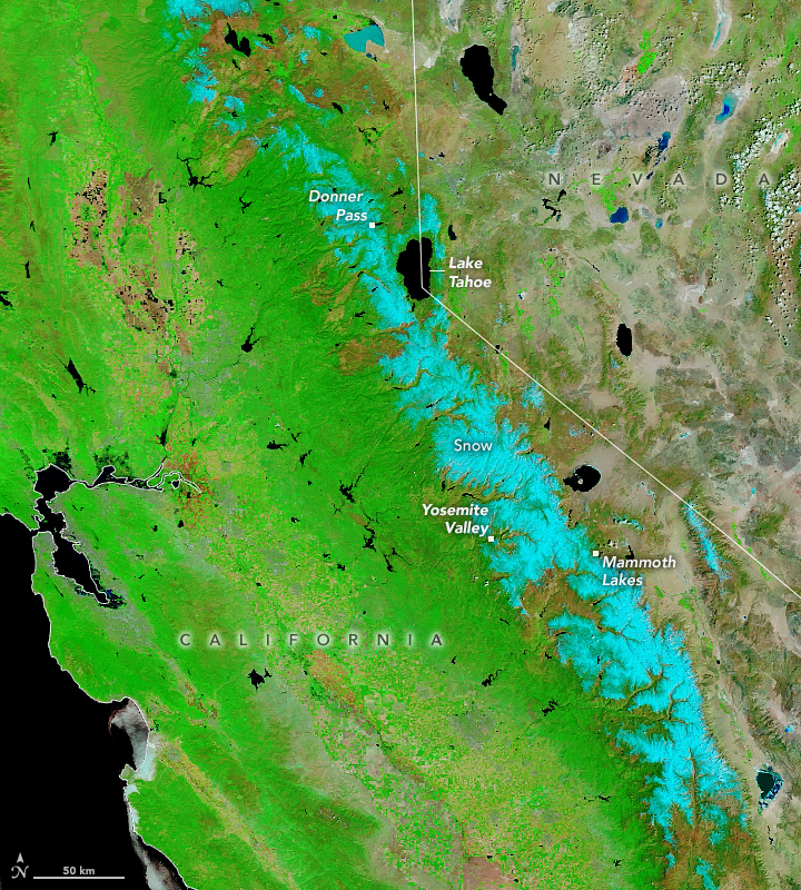
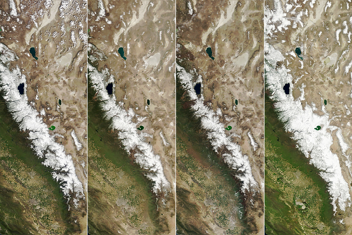
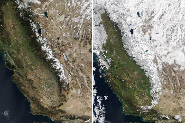
While spring was springing across much of the Northern Hemisphere, California’s Sierra Nevada still looked very much like winter in early May 2024. A weather station at Donner Pass measured 26.4 inches (67 centimeters) of snowfall on May 5, marking the snowiest day there in the 2023-2024 season.
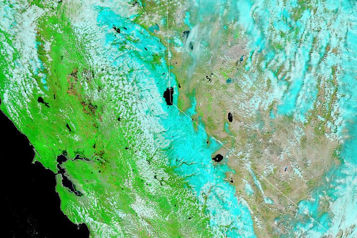
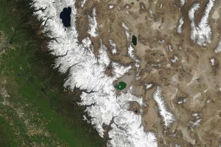
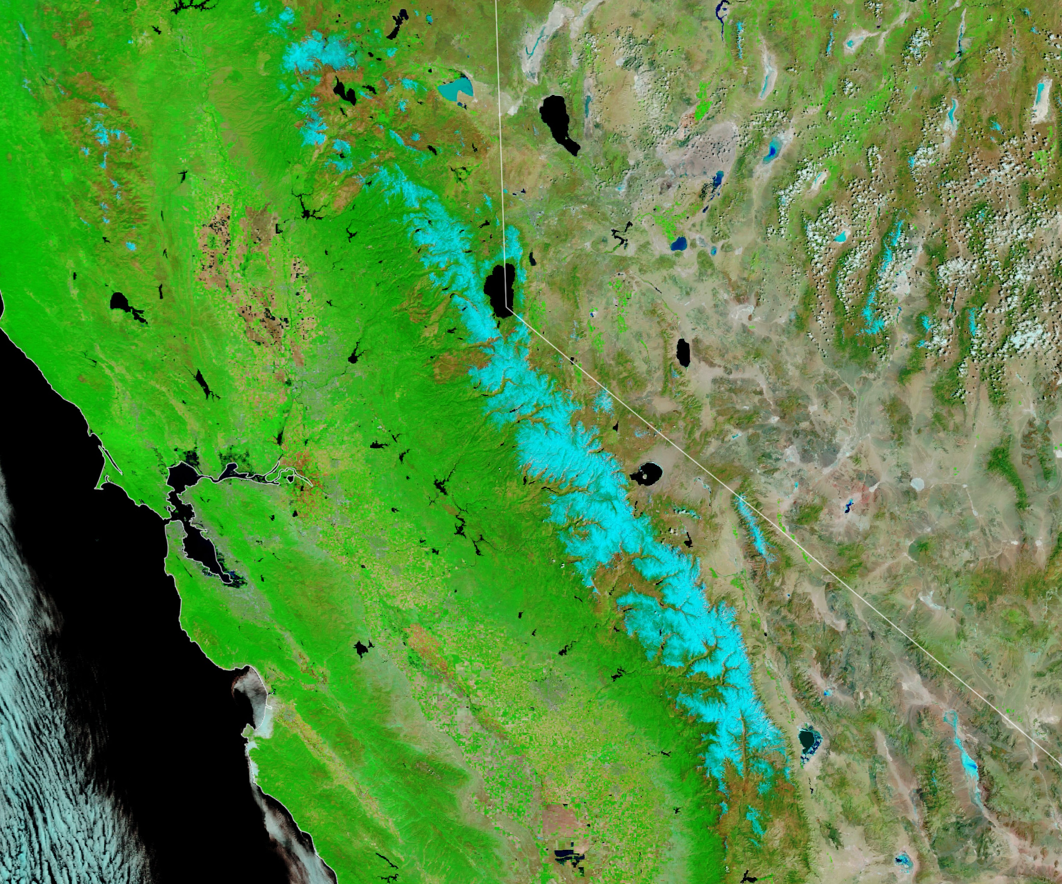
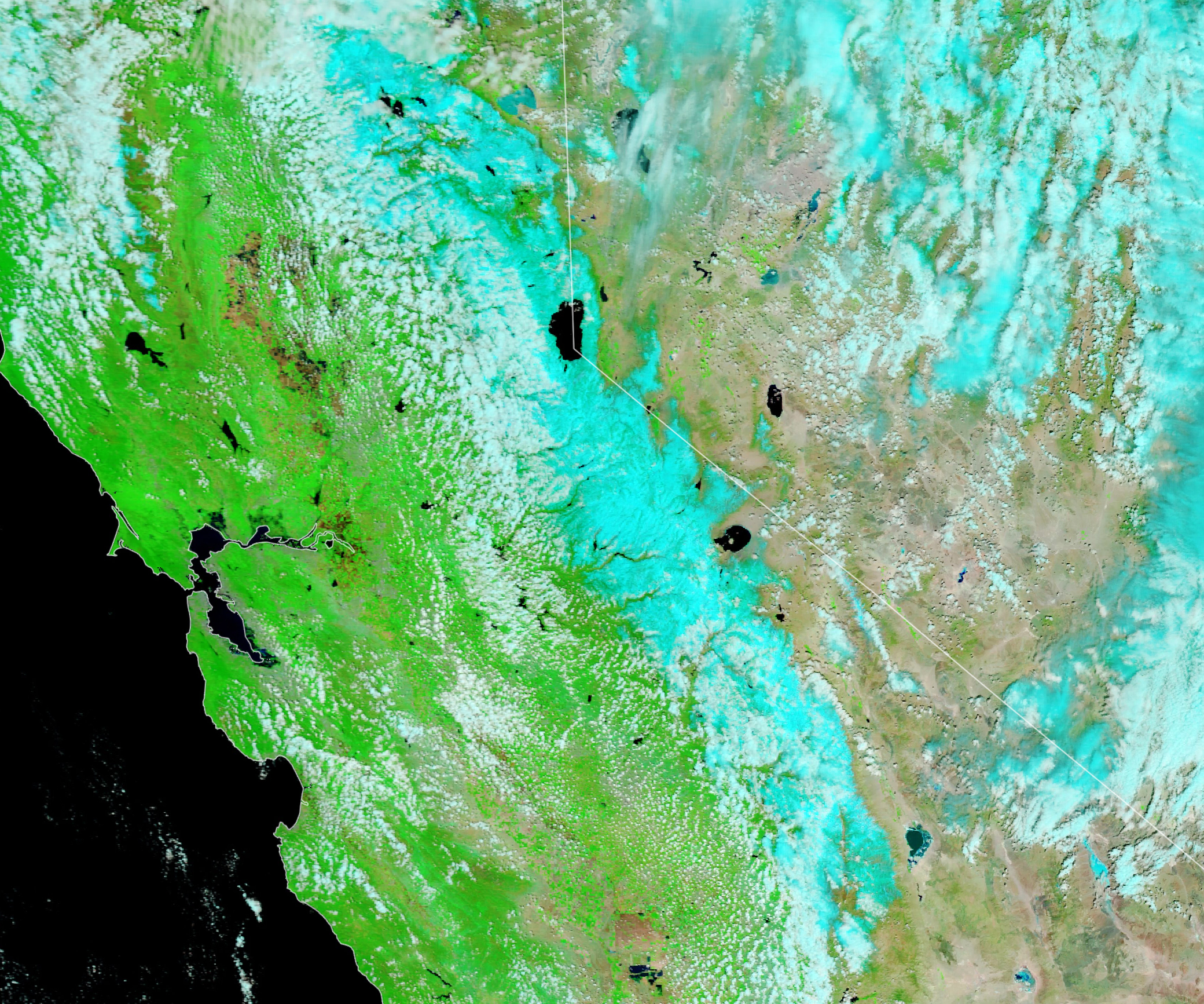
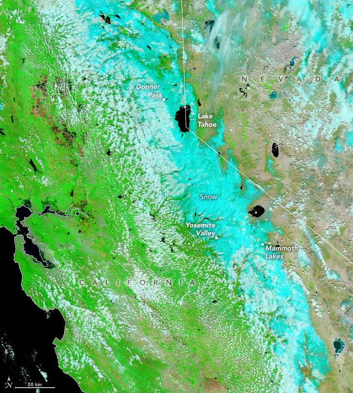
The system of wet weather had mostly cleared the area when the MODIS (Moderate Resolution Imaging Spectroradiometer) on NASA’s Terra satellite acquired an image (right) of the snowy Sierras at 11 a.m. local time (18:00 Universal Time) on May 5. An image from May 3 (left) shows the region before the storm moved through. The images are false-color (bands 7-2-1) to distinguish the snow (blue) from the clouds (white).
The blast of snow created treacherous driving conditions and caused highway closures in the Lake Tahoe area, including Interstate 80 over Donner Summit, according to news reports. Elsewhere in the mountain range, Mammoth Mountain Ski Area reported receiving 10 inches (25 centimeters) of new snow in the storm, and Yosemite Valley dazzled in a fresh coat of white.
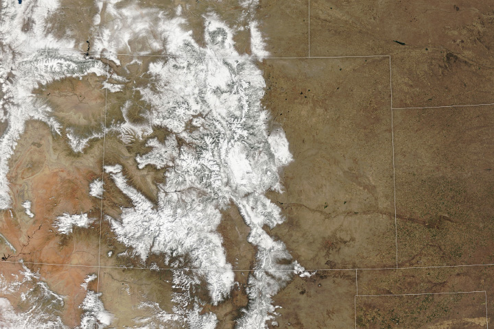
Sierra Nevada snowpack is known for its booms and busts. After more than a decade of either unusually wet or unusually dry years, snowpack in the Sierras has been uncharacteristically close to average in 2024.
Prior to the early-May storm, accumulated snowfall for the current water year at Donner Pass was within one inch of the 1991-2020 average (360 inches), according to the Central Sierra Snow Laboratory. The snow on May 5 nudged the total to 108 percent of the average for that location.
Although the 2023-2024 winter season got off to a dry start, storms later in the season replenished the snowpack across much of the range. Between February 28 and March 3, an atmospheric river and a winter storm delivered widespread precipitation to the western U.S. and dropped an estimated 4 to 10 feet (1 to 3 meters) of snow in the Northern and Central Sierras. Following the May snowfall, the California Department of Water Resources reported that the snow water equivalent was above average in the Northern Sierra, close to average in the central part of the range, and below average in the southern portion.
To see changes in the snowpack since 2006, visit our World of Change series.
NASA Earth Observatory images by Lauren Dauphin, using MODIS data from NASA EOSDIS LANCE and GIBS/Worldview. Story by Lindsey Doermann.