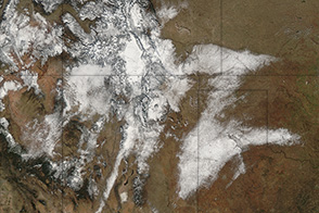
A cold front swept across several western states in mid-October 2023, delivering the first significant snowfall of the season to the Rocky Mountains.
The front brought wind gusts, freezing temperatures, and precipitation to Colorado and Wyoming on October 12 and 13—and covered some high peaks of the Rockies with up to a foot of snow. According to news reports, several roads in Rocky Mountain National Park were closed in preparation for the wintry weather.
Western parts of the range received the most snow on October 12, according to NOAA’s daily snowfall observations. Darwin Ranch, near Jackson, Wyoming, recorded 5 inches (13 centimeters) of snow on that date, and Cedaredge, Colorado, recorded 12 inches (30 centimeters). Snow continued to fall to the east on October 13. On that day, a station just east of Elk Mountain peak, in Wyoming, received 10 inches (25 centimeters) of snow, and 5 inches (13 centimeters) of snow was recorded at the foot of Vail Mountain, 90 miles west of Denver.
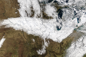
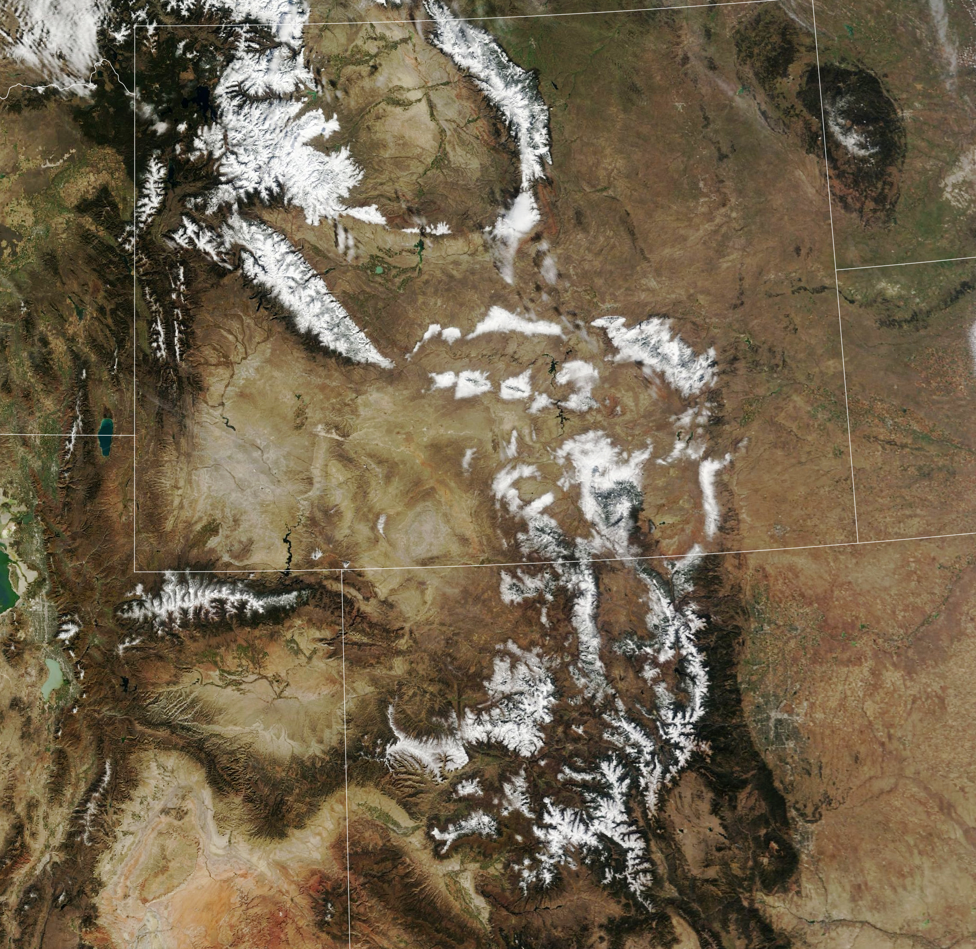
Snow was still visible on the mountains on October 15, 2023, when the MODIS (Moderate Resolution Imaging Spectroradiometer) instrument on NASA’s Terra satellite acquired the image above. Unseasonably warm temperatures on October 16 and 17 had melted some of the snow, but a white coating still clung to the higher elevations on October 18.
Mountain snowpack is a natural reservoir: As it melts, it provides a steady supply of water for millions of people who rely upon it for agriculture, industry, and municipal and residential use. As of October 17, snowpack was above normal (in terms of snow water equivalent) across much of the Colorado River basin.
NASA Earth Observatory image by Lauren Dauphin, using MODIS data from NASA EOSDIS LANCE and GIBS/Worldview. Story by Emily Cassidy.
Image of the Day Land Snow and Ice
A storm brought wintry weather and the first significant snowfall of the season to the Rocky Mountains.
Image of the Day for October 19, 2023
View more Images of the Day:


alert message