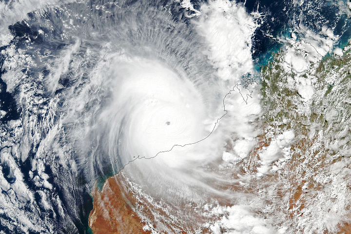
The Earth Observatory has published its last Image of the Day on this website. Please join us on our new home at science.nasa.gov/earth/earth-observatory.
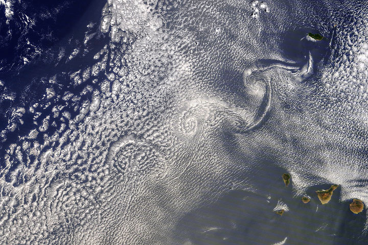
The atmosphere and the ocean are fluids, both in constant motion. This motion is not always visible to the naked eye, but in the atmosphere, clouds can act like fingerprints for the movement of air.
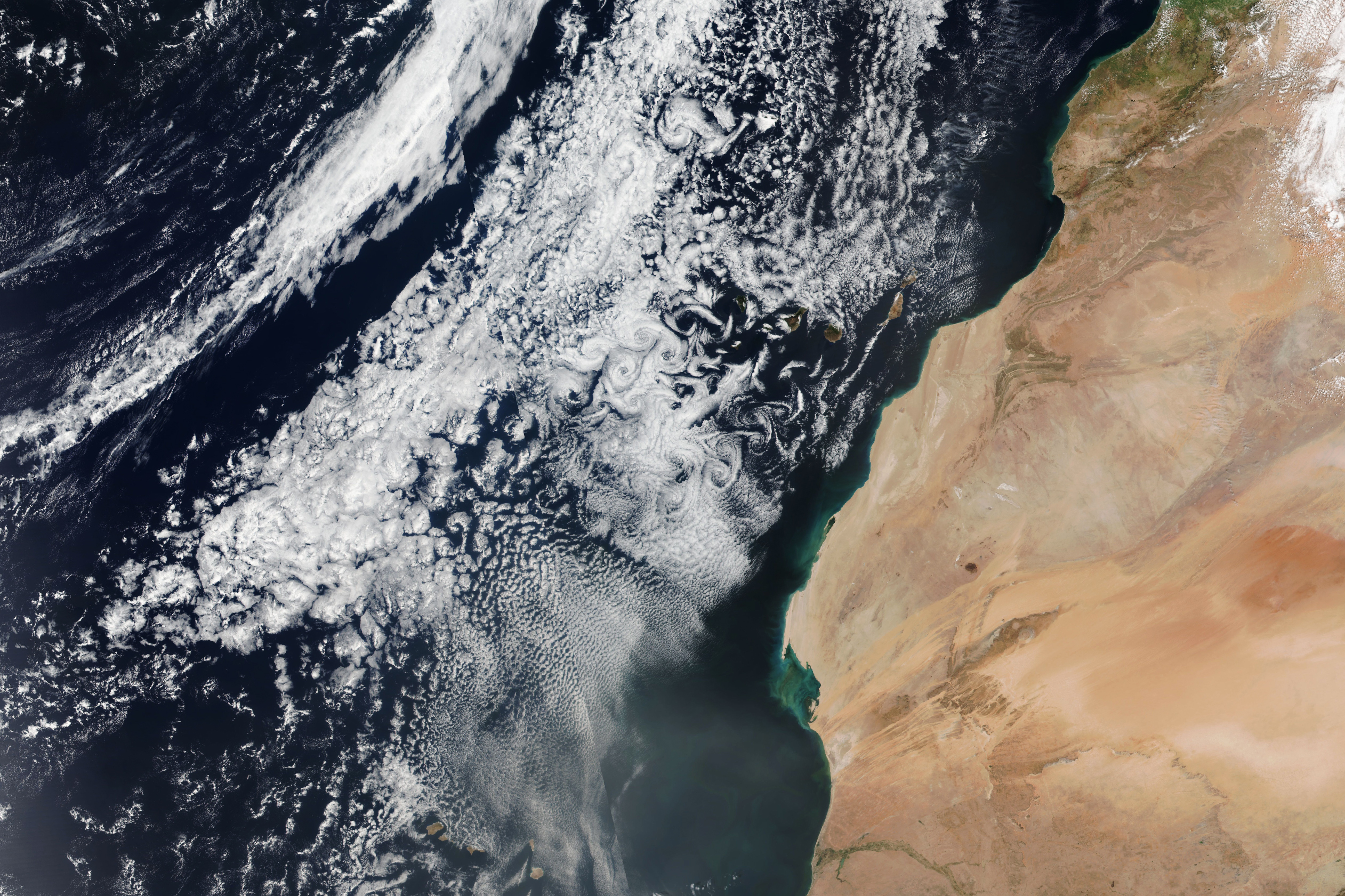
Three trails of whirling clouds formed downwind of the Canary Islands in this image, captured on March 19, 2023, by the Visible Infrared Imaging Radiometer Suite (VIIRS) sensor on the NASA-NOAA Suomi NPP satellite. The cloud swirls are called von Kármán vortices, a distinctive pattern that can occur when a fluid passes a tall, isolated object. The fluid splits around the object, creating a swirling eddy downwind. Linear chains of these eddies are called von Kármán vortex streets.
Von Kármán vortices routinely appear in satellite imagery. They can occur whenever an object interrupts air flow. In this case, they occurred as winds rushed past the tall volcanic peaks of the Canary Islands. Cloud vortices are often spotted downwind of isolated islands including near Guadalupe Island, near the coast of Chile, and in the Indian Ocean.
Fluid dynamicist Theodore von Kármán was the first to describe the conditions under which these turbulent patterns occur. Von Kármán was a professor of aeronautics at the California Institute of Technology and one of the principal founders of NASA’s Jet Propulsion Laboratory.
NASA Earth Observatory image by Allison Nussbaum, using VIIRS data from NASA EOSDIS LANCE, GIBS/Worldview, and the Suomi National Polar-orbiting Partnership. Story by Emily Cassidy.