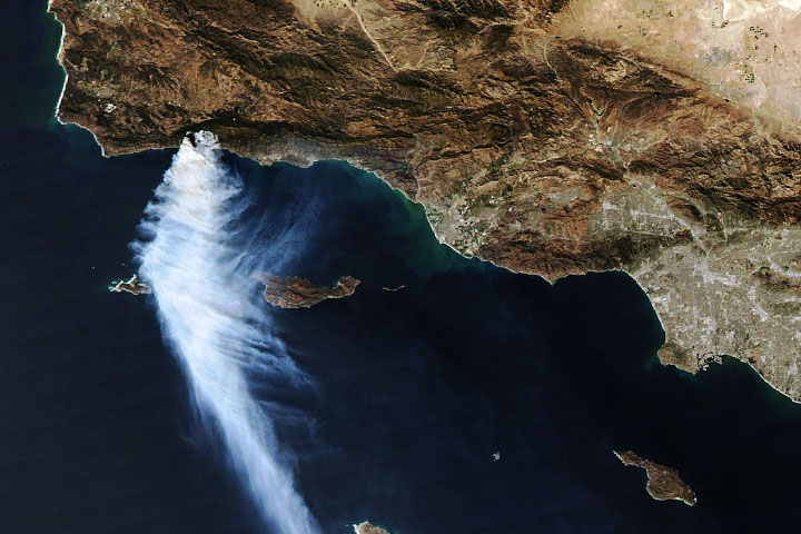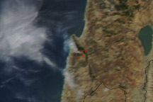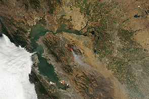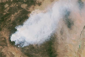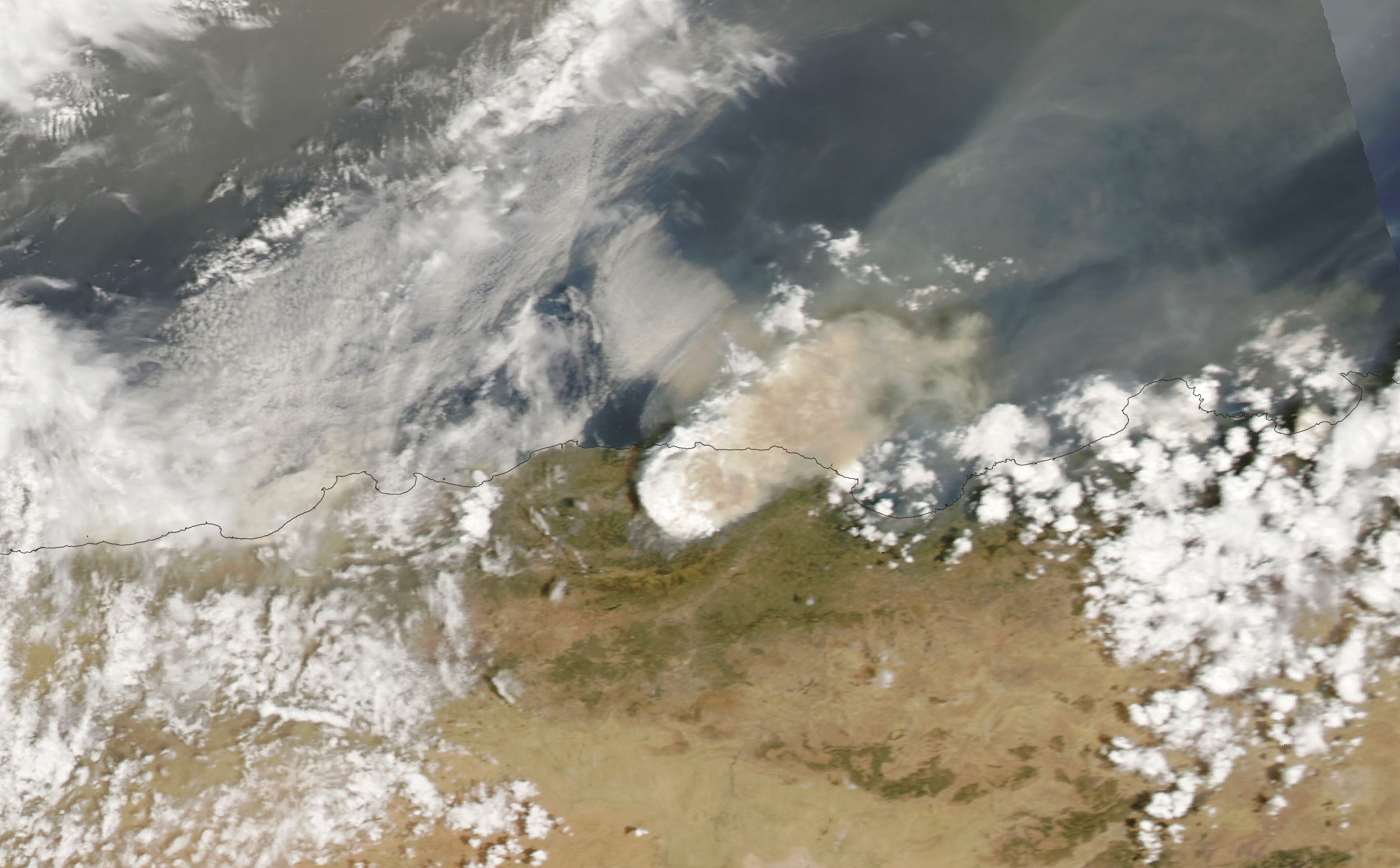
On August 10, 2021, the Moderate Resolution Imaging Spectroradiometer (MODIS) on NASA’s Aqua satellite acquired this natural-color image of a vast smoke plume over northern Algeria. Some of the worst fires have occurred in mountain areas near Bejaia and Tizi-Ouzou. The bright white portions of the smoke plume suggest the presence of pyrocumulonimbus, or pyroCb “fire clouds.”
Data from the European Forest Fire Information System (EFFIS) show that more than 62,000 hectares (239 square miles) have burned in Algeria this year. From 2008 to 2020, the full-year average was 68,000 hectares.
NASA Earth Observatory image by Lauren Dauphin, using MODIS data from NASA EOSDIS LANCE and GIBS/Worldview. Caption by Mike Carlowicz.
alert message