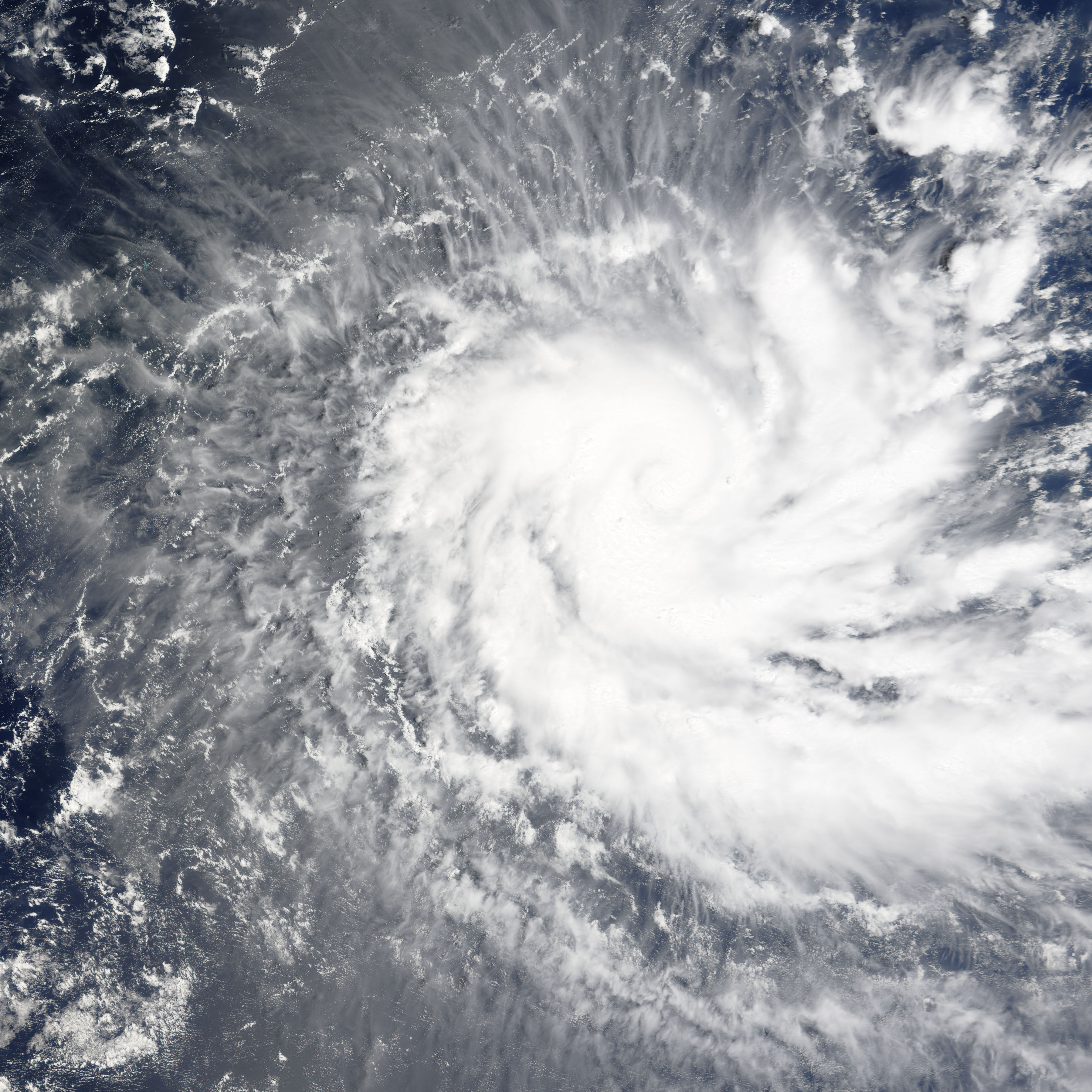
The MODIS instrument flying aboard NASA's Terra satellite captured this true-color image of Tropical Cyclone Bento on November 22, 2004 at 05:20 UTC. At the time this image was taken, Bento was located approximately 380 miles east-southeast of Diego Garcia and was moving towards the southwest at 5 mph. Maximum sustained winds were near 75 mph with gusts to 92 mph.
NASA image created by Jesse Allen, Earth Observatory, using data obtained from the MODIS Rapid Response team.
alert message