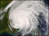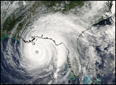

The MODIS instrument flying aboard NASA's Terra satellite captured this true-color image of Hurricane Ivan on September 16, 2004 at 16:20 UTC (12:20 PM EDT). At the time this image was taken Ivan was moving north-northeastward across Alabama and had weaked to a tropical storm. Maximum sustained winds had decreased to 70 mph with higher gusts and Ivan was moving towards thr north-northeast at 14 mph. The image is available in additional resolutions and formats.
Image by Liam Gumley, Space Science and Engineering Center, University of Wisconsin-Madison
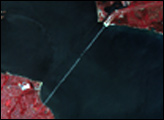
When Hurricane Ivan blasted through Pensacola, Florida, it cut apart a bridge on the heavily traveled Interstate 10. The gap in the bridge is visible in this ASTER image, acquired on September 21, 2004.


