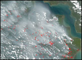
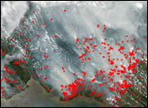
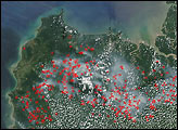
Through cloudy skies, the Moderate Resolution Imaging Spectroradiometers (MODIS) on NASA’s Terra and Aqua satellites detected fires (marked in yellow) burning on the island of Borneo on August 17, 2004. The top image was captured in the afternoon (local time) and shows more fire activity than the morning image (bottom). The bulk of the island (south and central parts) is occupied by the Kalimantan region of Indonesia, while a strip across the northern part is occupied by the Sarawak region of Malaysia. Most of the fires are along the swampy western and southern coastlines of Kalimantan.
Image by Jesse Allen, based on data from the MODIS Rapid Response Team, NASA-GSFC
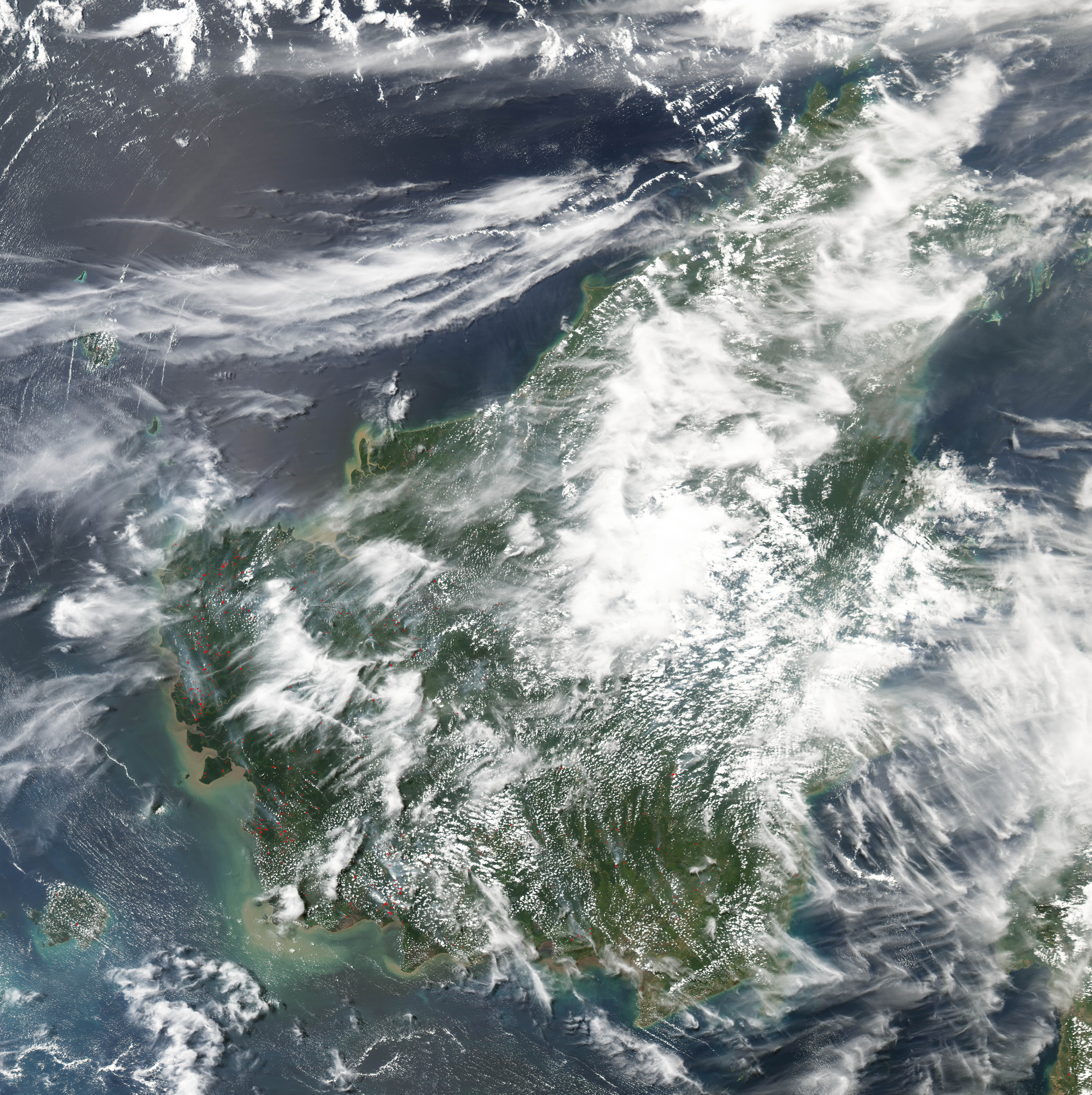
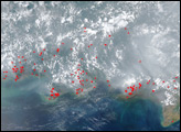
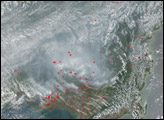
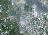
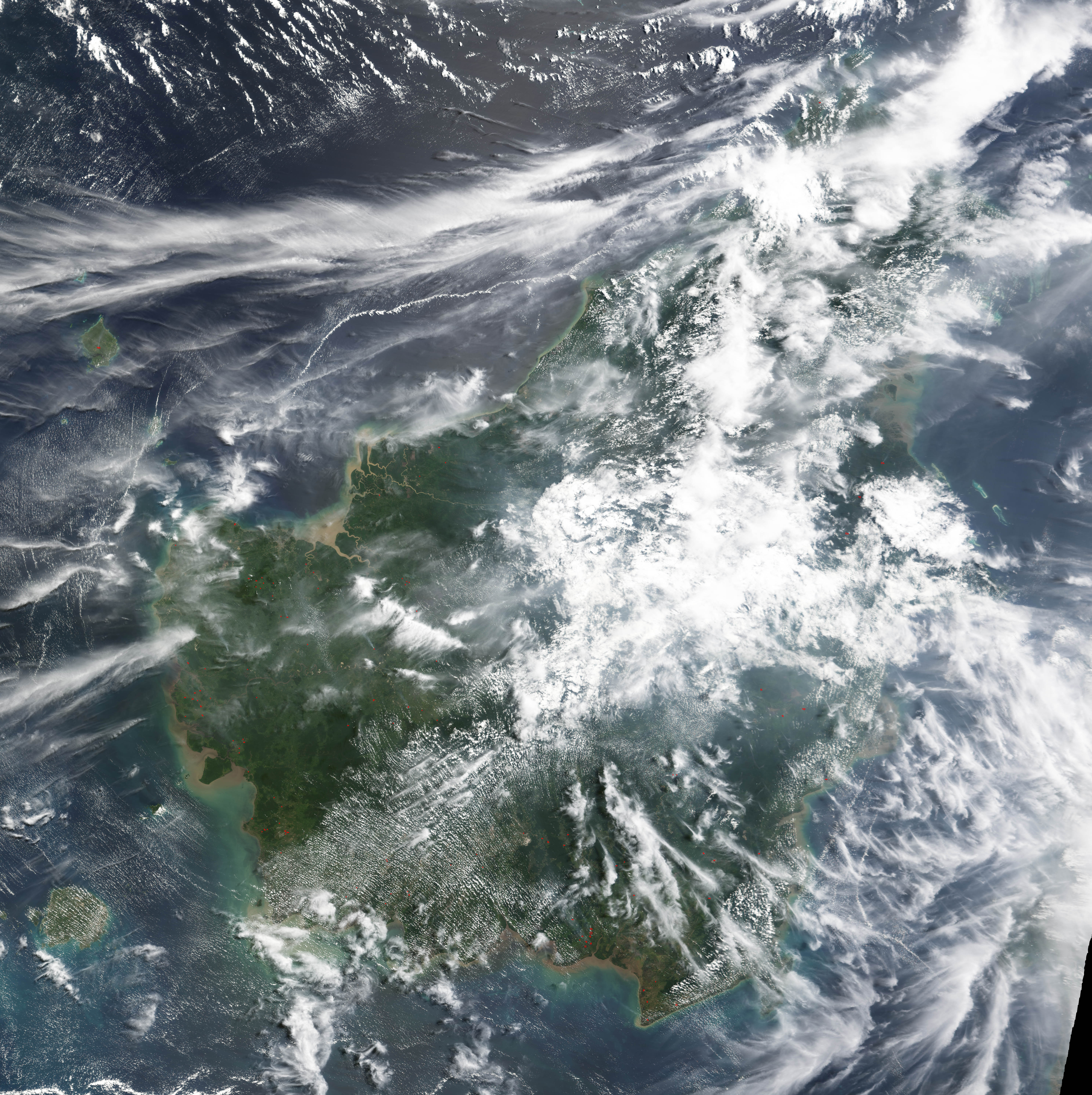
On Sumatra and Borneo, scores of fires were billowing thick smoke across a wide area on October 13 and 14, 2004. These images of the burning are from the MODIS sensor on NASA’s Aqua satellite.
alert message


