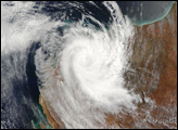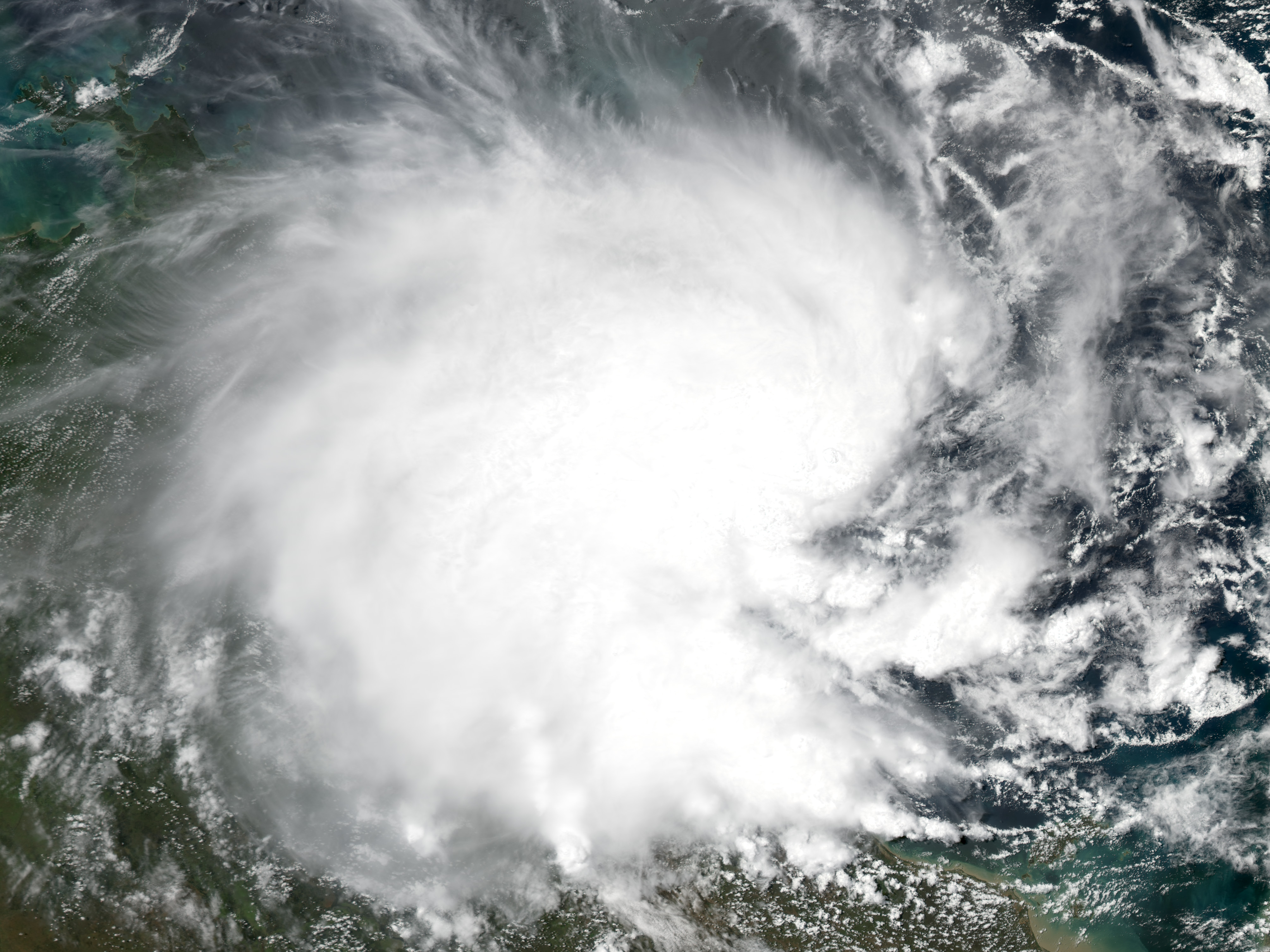
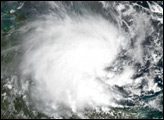
The MODIS instrument onboard NASA's Aqua satellite captured this true-color image of Tropical Cyclone Evan located approximately 46 miles east-northeast of Groote Eylandt, Australia. Evan's maximum sustained winds are approximately 30 mph and forecasters at the Joint Typhoon Warning Center expect the storm to maintain its intensity as it tracks across the top end of Australia.
Image courtesy Jesse Allen, based on data from the MODIS Rapid Response Team at NASA GSFC
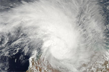
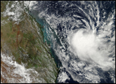
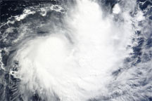
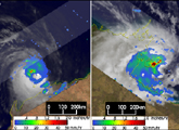
Two tropical cyclones made landfall in Australia just hours apart. Cyclone Monty came ashore along the northwest coast of Western Australia on the evening of 1 March 2004 (LST) while Cyclone Evan made landfall a few hours later in the early morning hours of March 2nd (LST) along the east coast of the Northern Territory.
alert message